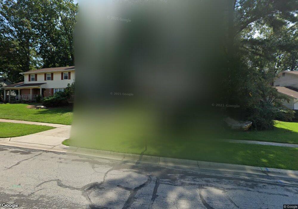
1009 Cannon Rd Silver Spring, MD 20904
Estimated Value: $540,866 - $597,000
Studio
3
Baths
1,693
Sq Ft
$336/Sq Ft
Est. Value
About This Home
This home is located at 1009 Cannon Rd, Silver Spring, MD 20904 and is currently estimated at $568,967, approximately $336 per square foot. 1009 Cannon Rd is a home located in Montgomery County with nearby schools including Cannon Road Elementary School, Francis Scott Key Middle School, and Springbrook High School.
Ownership History
Date
Name
Owned For
Owner Type
Purchase Details
Closed on
Jan 13, 2011
Sold by
Hamilton-Gage Omoronike
Bought by
Hamilton Omoronike
Current Estimated Value
Purchase Details
Closed on
Jul 3, 2007
Sold by
Gage Hamiton
Bought by
Hamito and Gage Richard Gage
Home Financials for this Owner
Home Financials are based on the most recent Mortgage that was taken out on this home.
Original Mortgage
$261,100
Interest Rate
6.39%
Mortgage Type
New Conventional
Purchase Details
Closed on
Jun 22, 2007
Sold by
Gage Hamiton
Bought by
Hamito and Gage Richard Gage
Home Financials for this Owner
Home Financials are based on the most recent Mortgage that was taken out on this home.
Original Mortgage
$261,100
Interest Rate
6.39%
Mortgage Type
New Conventional
Purchase Details
Closed on
Mar 12, 1998
Sold by
Vanlenten William L
Bought by
Gage Omoronike H
Create a Home Valuation Report for This Property
The Home Valuation Report is an in-depth analysis detailing your home's value as well as a comparison with similar homes in the area
Home Values in the Area
Average Home Value in this Area
Purchase History
| Date | Buyer | Sale Price | Title Company |
|---|---|---|---|
| Hamilton Omoronike | -- | -- | |
| Hamito | -- | -- | |
| Hamito | -- | -- | |
| Gage Omoronike H | $170,000 | -- |
Source: Public Records
Mortgage History
| Date | Status | Borrower | Loan Amount |
|---|---|---|---|
| Previous Owner | Hamito | $261,100 | |
| Previous Owner | Hamito | $261,100 |
Source: Public Records
Tax History
| Year | Tax Paid | Tax Assessment Tax Assessment Total Assessment is a certain percentage of the fair market value that is determined by local assessors to be the total taxable value of land and additions on the property. | Land | Improvement |
|---|---|---|---|---|
| 2025 | $4,950 | $406,700 | -- | -- |
| 2024 | $4,950 | $377,200 | $0 | $0 |
| 2023 | $3,893 | $347,700 | $188,800 | $158,900 |
| 2022 | $2,708 | $336,033 | $0 | $0 |
| 2021 | $3,390 | $324,367 | $0 | $0 |
| 2020 | $6,390 | $312,700 | $188,800 | $123,900 |
| 2019 | $3,128 | $309,033 | $0 | $0 |
| 2018 | $3,068 | $305,367 | $0 | $0 |
| 2017 | $3,066 | $301,700 | $0 | $0 |
| 2016 | $3,318 | $294,533 | $0 | $0 |
| 2015 | $3,318 | $287,367 | $0 | $0 |
| 2014 | $3,318 | $280,200 | $0 | $0 |
Source: Public Records
Map
Nearby Homes
- 13137 Broadmore Rd
- 1306 Leister Dr
- 816 Rosemere Ave
- 708 Hollywood Ave
- 12624 Billington Rd
- 605 Rosemere Ave
- 906 Venice Dr
- 606 Winhall Way
- 1407 Northcrest Dr
- 7 Shaw Ave
- 12916 Shaw Place
- 13704 New Hampshire Ave
- 13707 Notley Rd
- 13711 Notley Rd
- 12405 Olivewood Place
- 13715 Notley Rd
- 13719 Notley Rd
- 2124 Aventurine Way
- 2204 Badian Dr
- 1116 Tiffany Rd
- 1011 Cannon Rd
- 1007 Cannon Rd
- 12924 Allerton Ln
- 12926 Allerton Ln
- 1005 Cannon Rd
- 12922 Allerton Ln
- 12922 Broadmore Rd
- 1008 Cannon Rd
- 12928 Allerton Ln
- 1006 Cannon Rd
- 1010 Cannon Rd
- 12920 Allerton Ln
- 1003 Cannon Rd
- 1004 Cannon Rd
- 13000 Broadmore Rd
- 1005 Broadmore Cir
- 1003 Broadmore Cir
- 12925 Allerton Ln
- 12918 Allerton Ln
- 12927 Allerton Ln
Your Personal Tour Guide
Ask me questions while you tour the home.