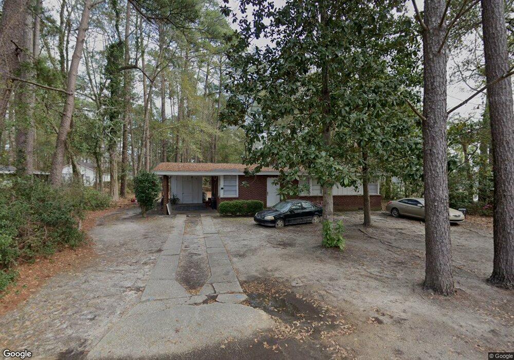
1009 Hillside Dr Valdosta, GA 31601
Estimated Value: $76,000 - $114,000
--
Bed
1
Bath
1,118
Sq Ft
$87/Sq Ft
Est. Value
About This Home
This home is located at 1009 Hillside Dr, Valdosta, GA 31601 and is currently estimated at $97,540, approximately $87 per square foot. 1009 Hillside Dr is a home located in Lowndes County with nearby schools including S.L. Mason Elementary School, Valdosta Middle School, and Valdosta High School.
Ownership History
Date
Name
Owned For
Owner Type
Purchase Details
Closed on
Apr 16, 2025
Sold by
Mcmurry Richard M
Bought by
Valdosta Lowndes County Land Bank Author
Current Estimated Value
Purchase Details
Closed on
Jul 11, 1975
Bought by
Mcmurry Richard M
Purchase Details
Closed on
Aug 29, 1972
Bought by
Hiers John T
Purchase Details
Closed on
Aug 30, 1971
Bought by
Ward Delma W
Purchase Details
Closed on
Aug 17, 1965
Bought by
Chitty B Q
Create a Home Valuation Report for This Property
The Home Valuation Report is an in-depth analysis detailing your home's value as well as a comparison with similar homes in the area
Home Values in the Area
Average Home Value in this Area
Purchase History
| Date | Buyer | Sale Price | Title Company |
|---|---|---|---|
| Valdosta Lowndes County Land Bank Author | -- | -- | |
| Mcmurry Richard M | $4,300 | -- | |
| Hiers John T | $1,000 | -- | |
| Ward Delma W | $16,500 | -- | |
| Chitty B Q | -- | -- |
Source: Public Records
Tax History Compared to Growth
Tax History
| Year | Tax Paid | Tax Assessment Tax Assessment Total Assessment is a certain percentage of the fair market value that is determined by local assessors to be the total taxable value of land and additions on the property. | Land | Improvement |
|---|---|---|---|---|
| 2024 | $777 | $27,836 | $2,765 | $25,071 |
| 2023 | $777 | $27,836 | $2,765 | $25,071 |
| 2022 | $630 | $18,641 | $2,765 | $15,876 |
| 2021 | $440 | $18,641 | $2,765 | $15,876 |
| 2020 | $449 | $18,641 | $2,765 | $15,876 |
| 2019 | $449 | $18,641 | $2,765 | $15,876 |
| 2018 | $455 | $18,641 | $2,765 | $15,876 |
| 2017 | $458 | $18,641 | $2,765 | $15,876 |
| 2016 | $590 | $22,327 | $2,765 | $19,562 |
| 2015 | $542 | $22,327 | $2,765 | $19,562 |
| 2014 | $551 | $22,327 | $2,765 | $19,562 |
Source: Public Records
Map
Nearby Homes
- 820 W Gordon St
- 1202 Melissa Dr
- 1197 Jo Ree St
- 1522 Woodard St
- 503 Roberts St
- 1400 Lankford Dr
- 614 Lamar St
- 808 W Adair St
- 1114 Clark St
- 316 Blitch St
- * Sustella - Green Unit 3
- 1811 Canterbury Dr
- 1911 Baytree Place
- TBD Moss Oak Dr
- 410 W Adair St
- 704 3rd Ave
- 817 W Cranford Ave
- 724 J L Lomax Dr
- 814 W Alden Ave
- 0 Canal St
- 1011 Hillside Dr
- 906 Hendry Dr
- 1013 Hillside Dr
- 1008 Hillside Dr
- 1010 Hillside Dr
- 904 Hendry Dr
- 910 Hendry Dr
- 3211 Rhett Rd
- 1012 Hillside Dr
- 1015 Hillside Dr
- 912 Hendry Dr
- 1014 Hillside Dr
- 1016 W Gordon St
- 1017 Hillside Dr
- 1016 Hillside Dr
- 914 Hendry Dr
- 1019 Hillside Dr
- 907 Hendry Dr
- 1011 W Gordon St
- 1013 W Gordon St