1009 Lear Ave Twentynine Palms, CA 92277
Estimated Value: $108,000 - $164,038
1
Bed
1
Bath
816
Sq Ft
$177/Sq Ft
Est. Value
About This Home
This home is located at 1009 Lear Ave, Twentynine Palms, CA 92277 and is currently estimated at $144,679, approximately $177 per square foot. 1009 Lear Ave is a home located in San Bernardino County with nearby schools including Twentynine Palms Elementary School, Twentynine Palms Junior High School, and Twentynine Palms High School.
Ownership History
Date
Name
Owned For
Owner Type
Purchase Details
Closed on
Jul 2, 2008
Sold by
Murray Kris W and Murray Janet L
Bought by
Murray Kris W and Murray Janet L
Current Estimated Value
Purchase Details
Closed on
Aug 6, 2000
Sold by
Winton Henry Stephen Tr and The Joseph C Henry 1991 Trust
Bought by
Murray Kris W and Murray Janet L
Home Financials for this Owner
Home Financials are based on the most recent Mortgage that was taken out on this home.
Original Mortgage
$14,240
Interest Rate
7.9%
Create a Home Valuation Report for This Property
The Home Valuation Report is an in-depth analysis detailing your home's value as well as a comparison with similar homes in the area
Home Values in the Area
Average Home Value in this Area
Purchase History
| Date | Buyer | Sale Price | Title Company |
|---|---|---|---|
| Murray Kris W | -- | None Available | |
| Murray Kris W | -- | None Available | |
| Murray Kris W | $16,000 | First American Title |
Source: Public Records
Mortgage History
| Date | Status | Borrower | Loan Amount |
|---|---|---|---|
| Previous Owner | Murray Kris W | $14,240 |
Source: Public Records
Tax History Compared to Growth
Tax History
| Year | Tax Paid | Tax Assessment Tax Assessment Total Assessment is a certain percentage of the fair market value that is determined by local assessors to be the total taxable value of land and additions on the property. | Land | Improvement |
|---|---|---|---|---|
| 2025 | $626 | $24,113 | $2,412 | $21,701 |
| 2024 | $626 | $23,640 | $2,365 | $21,275 |
| 2023 | $616 | $23,177 | $2,319 | $20,858 |
| 2022 | $606 | $22,723 | $2,274 | $20,449 |
| 2021 | $599 | $22,277 | $2,229 | $20,048 |
| 2020 | $593 | $22,048 | $2,206 | $19,842 |
| 2019 | $589 | $21,616 | $2,163 | $19,453 |
| 2018 | $583 | $21,193 | $2,121 | $19,072 |
| 2017 | $577 | $20,777 | $2,079 | $18,698 |
| 2016 | $568 | $20,369 | $2,038 | $18,331 |
| 2015 | $495 | $20,063 | $2,007 | $18,056 |
| 2014 | $494 | $19,670 | $1,968 | $17,702 |
Source: Public Records
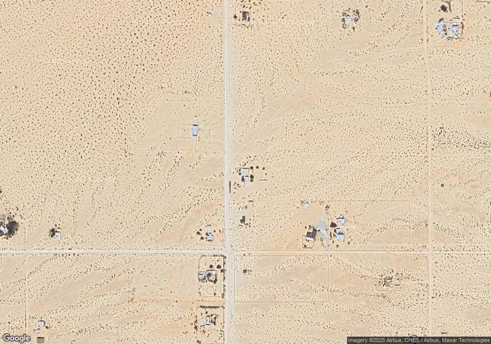
Map
Nearby Homes
- 1020 Shoshone Valley Rd
- 68243 Pioneer Trail
- 69172 Papoose Trail
- 0 Papoose Trail Unit IV25251989
- 0 Papoose Trail Unit SR25241846
- 72670 Pole Line Rd
- 68200 Pole Line Rd
- 0 Learco Way Unit BB24188573
- 69626 Brant Cross Rd
- 660 W Highnoon
- 68919 Kachina Dr
- 0 Cherokee Ln Unit EV24052334
- 69886 Warren Ln
- 0 Presswood Rd Unit OC25142642
- 1530 Applegate Way
- 68310 Emerald Dr
- 69601 Old Chisholm Trail
- 0 El Bandido Way Unit EV22020127
- 68203 Old Chisholm Trail
- 68023 Presswood Rd
- 5400 Lear Ave
- 1287 Lear Ave
- 1184 Lear Ave
- 1272 Lear Ave
- 0 Presswood Ave Unit 17-294486
- 0 Learco Way
- 69376 Presswood Rd
- 69376 Presswood Rd
- 1322 Lear Ave
- 1274 Hales Dr
- 1376 Lear Ave
- 1085 Lear Ave
- 1120 Lear Ave
- 69425 Presswood Rd
- 1060 Hales Dr
- 101 Hales Dr
- 0 Hales Dr
- 69050 Presswood Rd
- 1033 Lear Ave
- 5600 Lear Ave