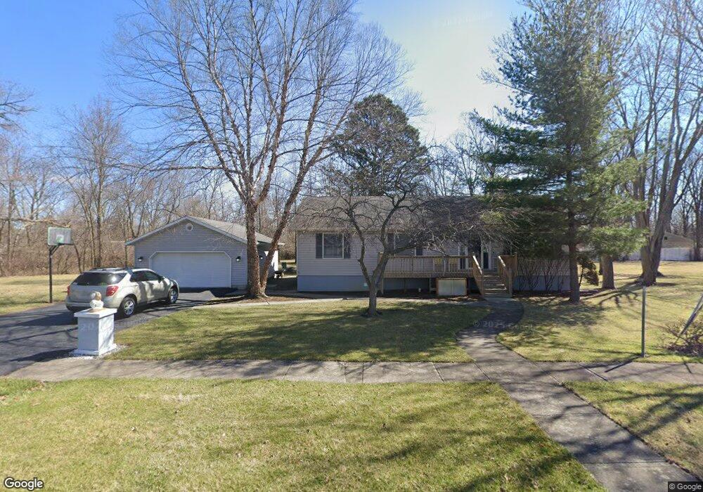
1009 Linden Ave Findlay, OH 45840
Estimated Value: $210,000 - $235,000
3
Beds
2
Baths
1,428
Sq Ft
$154/Sq Ft
Est. Value
About This Home
This home is located at 1009 Linden Ave, Findlay, OH 45840 and is currently estimated at $219,604, approximately $153 per square foot. 1009 Linden Ave is a home located in Hancock County with nearby schools including Whittier Elementary School, Wilson Vance Elementary School, and Donnell Middle School.
Ownership History
Date
Name
Owned For
Owner Type
Purchase Details
Closed on
Jan 11, 2007
Sold by
Wells Fargo Bank Na
Bought by
Nicholson Randall S
Current Estimated Value
Home Financials for this Owner
Home Financials are based on the most recent Mortgage that was taken out on this home.
Original Mortgage
$82,000
Outstanding Balance
$48,367
Interest Rate
6.16%
Mortgage Type
Purchase Money Mortgage
Estimated Equity
$171,237
Purchase Details
Closed on
Nov 3, 2005
Sold by
Iliff Ron E and Iliff Tammy L
Bought by
Wells Fargo Bank Na and Amresco Residential Securities Corp Mort
Create a Home Valuation Report for This Property
The Home Valuation Report is an in-depth analysis detailing your home's value as well as a comparison with similar homes in the area
Home Values in the Area
Average Home Value in this Area
Purchase History
| Date | Buyer | Sale Price | Title Company |
|---|---|---|---|
| Nicholson Randall S | $82,666 | Mid Am Title | |
| Wells Fargo Bank Na | $70,000 | -- |
Source: Public Records
Mortgage History
| Date | Status | Borrower | Loan Amount |
|---|---|---|---|
| Open | Nicholson Randall S | $82,000 |
Source: Public Records
Tax History Compared to Growth
Tax History
| Year | Tax Paid | Tax Assessment Tax Assessment Total Assessment is a certain percentage of the fair market value that is determined by local assessors to be the total taxable value of land and additions on the property. | Land | Improvement |
|---|---|---|---|---|
| 2024 | $2,107 | $59,310 | $7,510 | $51,800 |
| 2023 | $2,110 | $59,310 | $7,510 | $51,800 |
| 2022 | $2,103 | $59,310 | $7,510 | $51,800 |
| 2021 | $1,918 | $47,120 | $8,820 | $38,300 |
| 2020 | $1,918 | $47,120 | $8,820 | $38,300 |
| 2019 | $1,873 | $46,980 | $8,820 | $38,160 |
| 2018 | $2,013 | $46,260 | $8,820 | $37,440 |
| 2017 | $2,012 | $46,260 | $8,820 | $37,440 |
| 2016 | $1,985 | $46,260 | $8,820 | $37,440 |
| 2015 | $1,742 | $39,830 | $7,050 | $32,780 |
| 2014 | $1,742 | $39,830 | $7,050 | $32,780 |
| 2012 | $1,729 | $39,210 | $7,050 | $32,160 |
Source: Public Records
Map
Nearby Homes
- 1001 S Blanchard St Unit A
- 1001 S Blanchard St
- 1007 S Blanchard St
- 1007 S Blanchard St
- 720 2nd St
- 700 2nd St
- 1024 Linden Ave
- 1011 S Blanchard St
- 640 2nd St
- 1015 S Blanchard St
- 1021 S Blanchard St
- 636 2nd St
- 1025 S Blanchard St
- 1020 Graceland Ave
- 1010 Graceland Ave
- 1013 Blanchard Ave
- 1027 S Blanchard St
- 703 2nd St Unit 705
- 1009 Blanchard Ave
- 1005 Blanchard Ave