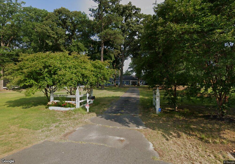
1009 Macarthur Dr Suffolk, VA 23434
East Washington Street NeighborhoodEstimated Value: $607,000 - $749,000
5
Beds
4
Baths
4,524
Sq Ft
$147/Sq Ft
Est. Value
About This Home
This home is located at 1009 Macarthur Dr, Suffolk, VA 23434 and is currently estimated at $666,487, approximately $147 per square foot. 1009 Macarthur Dr is a home located in Suffolk City with nearby schools including Mack Benn Jr. Elementary School, John F. Kennedy Middle School, and King's Fork High School.
Ownership History
Date
Name
Owned For
Owner Type
Purchase Details
Closed on
Mar 2, 2017
Sold by
Ramsey Margaret E
Bought by
Spangler Mark D and Price Teresa A
Current Estimated Value
Home Financials for this Owner
Home Financials are based on the most recent Mortgage that was taken out on this home.
Original Mortgage
$361,446
Outstanding Balance
$297,734
Interest Rate
4.19%
Mortgage Type
VA
Estimated Equity
$368,753
Create a Home Valuation Report for This Property
The Home Valuation Report is an in-depth analysis detailing your home's value as well as a comparison with similar homes in the area
Home Values in the Area
Average Home Value in this Area
Purchase History
| Date | Buyer | Sale Price | Title Company |
|---|---|---|---|
| Spangler Mark D | $349,900 | Sun Title Inc |
Source: Public Records
Mortgage History
| Date | Status | Borrower | Loan Amount |
|---|---|---|---|
| Open | Spangler Mark D | $361,446 |
Source: Public Records
Tax History
| Year | Tax Paid | Tax Assessment Tax Assessment Total Assessment is a certain percentage of the fair market value that is determined by local assessors to be the total taxable value of land and additions on the property. | Land | Improvement |
|---|---|---|---|---|
| 2025 | $7,054 | $617,200 | $90,400 | $526,800 |
| 2024 | $7,054 | $591,700 | $90,400 | $501,300 |
| 2023 | $6,724 | $579,800 | $90,400 | $489,400 |
| 2022 | $5,312 | $487,300 | $90,400 | $396,900 |
| 2021 | $4,245 | $382,400 | $90,400 | $292,000 |
| 2020 | $3,885 | $350,000 | $90,400 | $259,600 |
| 2019 | $3,764 | $339,100 | $90,400 | $248,700 |
| 2018 | $2,955 | $354,000 | $90,400 | $263,600 |
| 2017 | $3,788 | $354,000 | $90,400 | $263,600 |
| 2016 | $3,911 | $365,500 | $90,400 | $275,100 |
| 2015 | $904 | $365,500 | $90,400 | $275,100 |
| 2014 | $904 | $365,500 | $90,400 | $275,100 |
Source: Public Records
Map
Nearby Homes
- 223 River Point Dr
- 403 Elizabeth St
- 113 River Point Dr
- 170 River Point Dr
- Lot 59 Bethlehem St
- 210 Katherine St
- 2126 Oregon Ave
- 2224 Florida Ave
- 345 N 5th St
- 1201 Coastline Ave
- 341 N 5th St
- 321 Bruce St
- 421 Hollywood Ave
- 318 Goodman St
- 315 Goodman St
- 418 Williams Rd
- 301 Goodman St
- 302 N Capital St
- 0 Hill St
- 202 Bunch Ave
- 1001 Macarthur Dr
- 1017 Macarthur Dr
- 1002 Macarthur Dr
- 540 E Constance Rd
- 935 Macarthur Dr
- 1020 Macarthur Dr
- 1021 Macarthur Dr
- 542 E Constance Rd
- 544 E Constance Rd
- 538 E Constance Rd
- 931 Macarthur Dr
- 1000 Macarthur Dr
- 1025 Macarthur Dr
- 1024 Macarthur Dr
- 546 E Constance Rd
- 13A Elm St
- 13 A Elm 65
- 13 A Elm 67
- 1029 Macarthur Dr
- 1005 Myrtle St
Your Personal Tour Guide
Ask me questions while you tour the home.