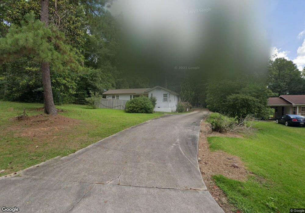
1009 Morse Ave Tylertown, MS 39667
Estimated Value: $100,449 - $148,000
2
Beds
2
Baths
1,364
Sq Ft
$89/Sq Ft
Est. Value
About This Home
This home is located at 1009 Morse Ave, Tylertown, MS 39667 and is currently estimated at $121,362, approximately $88 per square foot. 1009 Morse Ave is a home located in Walthall County with nearby schools including Tylertown Primary School, Tylertown Lower Elementary School, and Tylertown High School.
Ownership History
Date
Name
Owned For
Owner Type
Purchase Details
Closed on
Sep 24, 2021
Sold by
Felder Simpson Susan Jo and Felder Herring Emma
Bought by
May Ralph and May Martha
Current Estimated Value
Purchase Details
Closed on
Jul 31, 2019
Sold by
Popwell Sherry
Bought by
May Ralph and May Martha
Purchase Details
Closed on
Dec 14, 2009
Sold by
Hester Cynthia Brumfield
Bought by
May Ralph and May Martha
Home Financials for this Owner
Home Financials are based on the most recent Mortgage that was taken out on this home.
Original Mortgage
$37,653
Interest Rate
4.93%
Mortgage Type
Unknown
Create a Home Valuation Report for This Property
The Home Valuation Report is an in-depth analysis detailing your home's value as well as a comparison with similar homes in the area
Home Values in the Area
Average Home Value in this Area
Purchase History
| Date | Buyer | Sale Price | Title Company |
|---|---|---|---|
| May Ralph | -- | None Available | |
| May Ralph | -- | None Available | |
| May Ralph | -- | -- |
Source: Public Records
Mortgage History
| Date | Status | Borrower | Loan Amount |
|---|---|---|---|
| Previous Owner | May Ralph | $37,653 |
Source: Public Records
Tax History Compared to Growth
Tax History
| Year | Tax Paid | Tax Assessment Tax Assessment Total Assessment is a certain percentage of the fair market value that is determined by local assessors to be the total taxable value of land and additions on the property. | Land | Improvement |
|---|---|---|---|---|
| 2024 | -- | $5,320 | $0 | $0 |
| 2023 | $0 | $5,320 | $0 | $0 |
| 2022 | $0 | $5,320 | $0 | $0 |
| 2021 | $0 | $5,059 | $0 | $0 |
| 2020 | $0 | $5,059 | $0 | $0 |
| 2019 | $0 | $5,059 | $0 | $0 |
| 2018 | $0 | $5,059 | $0 | $0 |
| 2017 | $0 | $4,838 | $0 | $0 |
| 2016 | -- | $4,838 | $0 | $0 |
| 2015 | -- | $4,838 | $0 | $0 |
| 2014 | -- | $4,838 | $0 | $0 |
| 2013 | -- | $4,640 | $0 | $0 |
Source: Public Records
Map
Nearby Homes
- Tbd Tom Warner
- Tbd Tom Warner
- Tbd Hwy 583
- Tbd Adron Boyd Rd
- 818 Meadow
- 0 Mississippi 48
- 000 Mississippi 27
- 906 Pecan Ln
- 891 Mississippi 48
- 516 Tyler Ave
- 1102 Pecan Ln
- 1001 Yarborough Heights
- 614 Ball Ave
- 99 Magee Dr
- 704 Ball Ave
- 807 Pine Dr
- 0 Memory Ln Unit LotWP001
- 904 Pine Dr
- 808 Oak St
- 308 Gulledge Dr
- 1005 Morse Ave
- 218 N Collins St
- 1001 Morse Ave
- 1107 Morse Ave
- 216 N Collins St
- Tbd Zc Rushing Rd
- Tbd Z C Rushing Rd
- 0 Tbd Ellis Dillon Rd
- 0 Tbd Cemetery Rd
- 0 Tbd Hwy 27 N
- 1017 Magnolia Ave
- 913 Morse Ave
- 219 N Collins St
- 1105 Magnolia Ave
- 1111 Magnolia Ave
- 927 Magnolia Ave
- 116 N Collins St
- 1115 Magnolia Ave
- 304 Ball Ave
- 906 Morse Ave