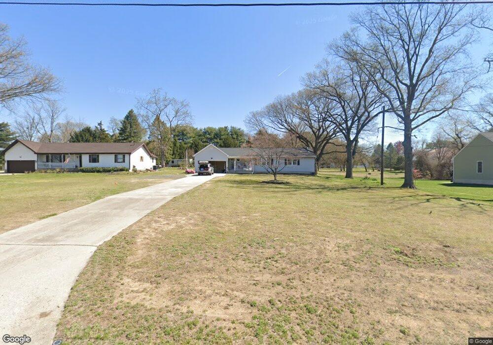
1009 S Fork Landing Rd Cinnaminson, NJ 08077
Estimated Value: $348,958 - $438,000
--
Bed
--
Bath
1,440
Sq Ft
$277/Sq Ft
Est. Value
About This Home
This home is located at 1009 S Fork Landing Rd, Cinnaminson, NJ 08077 and is currently estimated at $398,240, approximately $276 per square foot. 1009 S Fork Landing Rd is a home located in Burlington County with nearby schools including New Albany Elementary School, Eleanor Rush Intermediate School, and Cinnaminson Middle School.
Ownership History
Date
Name
Owned For
Owner Type
Purchase Details
Closed on
Jul 10, 2015
Sold by
Barbadoro John and Barbadoro Mary Barbadoro
Bought by
Mcaneny Kristen M
Current Estimated Value
Home Financials for this Owner
Home Financials are based on the most recent Mortgage that was taken out on this home.
Original Mortgage
$166,200
Outstanding Balance
$130,403
Interest Rate
4.04%
Estimated Equity
$267,837
Purchase Details
Closed on
Oct 27, 1980
Bought by
Barbadoro Alexander J and Barbadoro Mary
Create a Home Valuation Report for This Property
The Home Valuation Report is an in-depth analysis detailing your home's value as well as a comparison with similar homes in the area
Home Values in the Area
Average Home Value in this Area
Purchase History
| Date | Buyer | Sale Price | Title Company |
|---|---|---|---|
| Mcaneny Kristen M | -- | -- | |
| Barbadoro Alexander J | $15,000 | -- |
Source: Public Records
Mortgage History
| Date | Status | Borrower | Loan Amount |
|---|---|---|---|
| Open | Mcaneny Kristen M | $166,200 | |
| Closed | Mcaneny Kristen M | -- |
Source: Public Records
Tax History Compared to Growth
Tax History
| Year | Tax Paid | Tax Assessment Tax Assessment Total Assessment is a certain percentage of the fair market value that is determined by local assessors to be the total taxable value of land and additions on the property. | Land | Improvement |
|---|---|---|---|---|
| 2025 | $8,479 | $222,600 | $62,900 | $159,700 |
| 2024 | $8,274 | $222,600 | $62,900 | $159,700 |
| 2023 | $8,274 | $222,600 | $62,900 | $159,700 |
| 2022 | $8,094 | $222,600 | $62,900 | $159,700 |
| 2021 | $8,029 | $222,600 | $62,900 | $159,700 |
| 2020 | $7,951 | $222,600 | $62,900 | $159,700 |
| 2019 | $7,840 | $222,600 | $62,900 | $159,700 |
| 2018 | $7,784 | $222,600 | $62,900 | $159,700 |
| 2017 | $7,704 | $222,600 | $62,900 | $159,700 |
| 2016 | $7,597 | $222,600 | $62,900 | $159,700 |
| 2015 | $6,857 | $222,600 | $62,900 | $159,700 |
| 2014 | $6,505 | $222,600 | $62,900 | $159,700 |
Source: Public Records
Map
Nearby Homes
- 5 Kohlmyer Dr
- 21 Kohlmyer Dr
- 4 Smethwycke Dr
- 83 Kohlmyer Dr
- 12 Collins Ln
- 3 Glacier Dr
- 4 W Germantown Ave
- 3422 Palace Ct
- 218 E Germantown Ave
- 8704 Park Ave
- Ballad Plan at Villages at Moorestown
- Cadence Plan at Villages at Moorestown
- Odessa Plan at Villages at Moorestown
- 432 N Coles Ave
- 3423 New Jersey Ct
- 8221 Corbett Rd
- 8534 Orchard Ave
- 2414 Church Rd
- 1801 Madison St
- 2423 Church Rd
- 1011 S Fork Landing Rd
- 1013 S Fork Landing Rd
- 1004 S Fork Landing Rd
- 1008 S Fork Landing Rd
- 1007 S Fork Landing Rd
- 1007 S Fork Landing Rd
- 1006 S Fork Landing Rd
- 1010 S Fork Landing Rd
- 1012 S Fork Landing Rd
- 1002 S Fork Landing Rd
- 1015 S Fork Landing Rd
- 317 Odonnells Ln
- 321 Odonnells Ln
- 319 Odonnells Ln
- 313 Odonnells Ln
- 311 Odonnells Ln
- 322 Odonnells Ln
- 320 Odonnells Ln
- 1 Odonnells Ln
- 323 Odonnells Ln