1009 Saint Andrews Dr Mankato, MN 56001
Country Club Estates NeighborhoodEstimated Value: $356,657 - $373,000
4
Beds
2
Baths
3,276
Sq Ft
$111/Sq Ft
Est. Value
About This Home
This home is located at 1009 Saint Andrews Dr, Mankato, MN 56001 and is currently estimated at $362,164, approximately $110 per square foot. 1009 Saint Andrews Dr is a home located in Blue Earth County with nearby schools including Franklin Elementary School, Prairie Winds Middle School, and Mankato East Senior High School.
Ownership History
Date
Name
Owned For
Owner Type
Purchase Details
Closed on
Nov 9, 2018
Sold by
Ellingworth Paul and Ellingworth Misty L
Bought by
Kelley Benjamin F and Kelley Callista J
Current Estimated Value
Home Financials for this Owner
Home Financials are based on the most recent Mortgage that was taken out on this home.
Original Mortgage
$192,800
Outstanding Balance
$169,529
Interest Rate
4.8%
Mortgage Type
New Conventional
Estimated Equity
$192,635
Purchase Details
Closed on
Jul 31, 2015
Sold by
Jensen Erik J and Jensec Laura K
Bought by
Ellingworth Paul and Ellingworth Misty
Create a Home Valuation Report for This Property
The Home Valuation Report is an in-depth analysis detailing your home's value as well as a comparison with similar homes in the area
Home Values in the Area
Average Home Value in this Area
Purchase History
| Date | Buyer | Sale Price | Title Company |
|---|---|---|---|
| Kelley Benjamin F | $241,000 | Stewart Title | |
| Ellingworth Paul | $205,900 | -- |
Source: Public Records
Mortgage History
| Date | Status | Borrower | Loan Amount |
|---|---|---|---|
| Open | Kelley Benjamin F | $192,800 |
Source: Public Records
Tax History Compared to Growth
Tax History
| Year | Tax Paid | Tax Assessment Tax Assessment Total Assessment is a certain percentage of the fair market value that is determined by local assessors to be the total taxable value of land and additions on the property. | Land | Improvement |
|---|---|---|---|---|
| 2025 | $3,312 | $311,900 | $50,200 | $261,700 |
| 2024 | $3,312 | $307,700 | $50,200 | $257,500 |
| 2023 | $3,378 | $304,000 | $50,200 | $253,800 |
| 2022 | $3,040 | $296,800 | $50,200 | $246,600 |
| 2021 | $2,950 | $251,400 | $50,200 | $201,200 |
| 2020 | $2,830 | $234,500 | $50,200 | $184,300 |
| 2019 | $2,664 | $234,500 | $50,200 | $184,300 |
| 2018 | $2,570 | $221,800 | $41,800 | $180,000 |
| 2017 | $2,260 | $215,900 | $41,800 | $174,100 |
| 2016 | $2,192 | $201,400 | $41,800 | $159,600 |
| 2015 | $20 | $197,000 | $41,800 | $155,200 |
| 2014 | $1,948 | $182,500 | $41,800 | $140,700 |
Source: Public Records
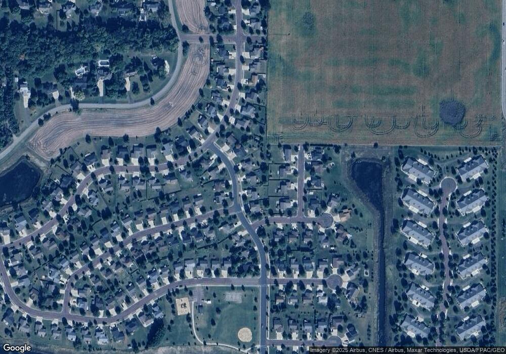
Map
Nearby Homes
- 313 Inverness Dr
- 147 Waynesborough Way
- 147 147 Waynesborough Way
- 117 Ct
- 320 320 Grovebrook Ct
- 320 Grovebrook Ct
- 403 Elm Dr Unit 116
- 204 Spruce Ln Unit 93
- 103 Maple Dr Unit 44
- 314 Oak Ln Unit 104
- 405 Elm Dr Unit 115
- 111 Maple Dr Unit 48
- 306 Oak Ln Unit 108
- 640 Grayhawk Dr
- 640 640 Grayhawk Dr
- 210 Spruce Ln Unit 90
- 101 La Costa Ln
- 407 Elm Dr Unit 114
- 55 Wood Dr Unit 24
- 212 Spruce Ln Unit 89
- 1009 1009 St Andrews Dr
- 1013 1013 St Andrews Dr
- 1013 St Andrews Dr
- 1005 Saint Andrews Dr
- 1013 Saint Andrews Dr
- 1005 1005 St Andrews Dr
- 1004 1004 St Andrews Dr
- 1017 Saint Andrews Dr
- 1001 Saint Andrews Dr
- 1008 1008 St Andrews Dr
- 1004 Saint Andrews Dr
- 1000 Saint Andrews Dr
- 108 Bay Hill Ct
- 1008 Saint Andrews Dr
- 104 Bay Hill Ct
- 112 Bay Hill Ct
- 1021 1021 St Andrews Dr
- 1021 Saint Andrews Dr
- 100 Bay Hill Ct
- 1012 1012 St Andrews Dr