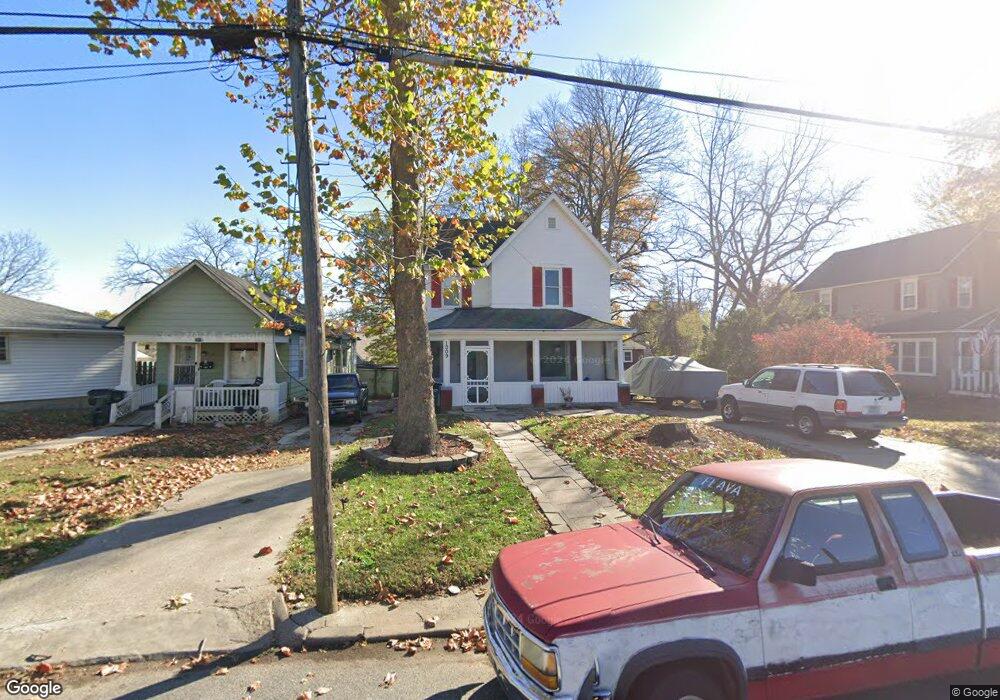
1009 Sherman Ave Leavenworth, KS 66048
Estimated Value: $163,164 - $194,000
3
Beds
2
Baths
1,763
Sq Ft
$99/Sq Ft
Est. Value
About This Home
This home is located at 1009 Sherman Ave, Leavenworth, KS 66048 and is currently estimated at $174,041, approximately $98 per square foot. 1009 Sherman Ave is a home located in Leavenworth County with nearby schools including David Brewer Elementary School, Richard Warren Middle School, and Leavenworth Senior High School.
Ownership History
Date
Name
Owned For
Owner Type
Purchase Details
Closed on
Nov 1, 1998
Bought by
Giles Geraldine Y
Current Estimated Value
Home Financials for this Owner
Home Financials are based on the most recent Mortgage that was taken out on this home.
Original Mortgage
$120,828
Outstanding Balance
$70,988
Interest Rate
5.5%
Mortgage Type
FHA
Estimated Equity
$103,053
Create a Home Valuation Report for This Property
The Home Valuation Report is an in-depth analysis detailing your home's value as well as a comparison with similar homes in the area
Home Values in the Area
Average Home Value in this Area
Purchase History
| Date | Buyer | Sale Price | Title Company |
|---|---|---|---|
| Giles Geraldine Y | $59,900 | -- |
Source: Public Records
Mortgage History
| Date | Status | Borrower | Loan Amount |
|---|---|---|---|
| Open | Giles Geraldine Y | $120,828 | |
| Closed | Giles Geraldine Y | $112,000 |
Source: Public Records
Tax History Compared to Growth
Tax History
| Year | Tax Paid | Tax Assessment Tax Assessment Total Assessment is a certain percentage of the fair market value that is determined by local assessors to be the total taxable value of land and additions on the property. | Land | Improvement |
|---|---|---|---|---|
| 2025 | $1,762 | $16,132 | $615 | $15,517 |
| 2024 | $1,767 | $15,364 | $615 | $14,749 |
| 2023 | $1,767 | $14,773 | $615 | $14,158 |
| 2022 | $1,547 | $12,845 | $662 | $12,183 |
| 2021 | $1,434 | $11,017 | $662 | $10,355 |
| 2020 | $1,297 | $9,867 | $662 | $9,205 |
| 2019 | $1,213 | $9,131 | $662 | $8,469 |
| 2018 | $1,222 | $9,131 | $662 | $8,469 |
| 2017 | $1,173 | $9,131 | $662 | $8,469 |
| 2016 | $1,207 | $9,366 | $662 | $8,704 |
| 2015 | $1,200 | $9,366 | $946 | $8,420 |
| 2014 | $1,232 | $9,648 | $946 | $8,702 |
Source: Public Records
Map
Nearby Homes
- 919 Walnut St
- 312 S 10th St
- 201 S 12th St
- 1208 Olive St
- 1213 Spruce St
- 1004 Randolph St
- 1240 Sanders St
- 1300 Cherokee St
- 917 Miami St
- 783 Miami St
- 1011 9th Ave
- 1405 Cherokee St
- 927 Columbia Ave
- 1116 Quincy St
- 1340 Spruce St
- 911 Pottawatomie St
- 310 N 8th St
- 219 Pottawatomie St
- 914 Madison St
- 1120 Pottawatomie St
- 1005 Sherman Ave
- 1013 Sherman Ave
- 1001 Sherman Ave
- 514 S 10th St
- 1017 Sherman Ave
- 0 S 10th St
- 1001 Walnut St
- 1010 Sherman Ave
- 1014 Sherman Ave
- 601 Grand Ave
- 509 S 10th St
- 1000 Sherman Ave
- 513 S 10th St
- 601 S 10th St
- 405 Grand Ave
- 605 Grand Ave
- 605 S 10th St
- 947 Sherman Ave
- 920 Walnut St
- 609 S 10th St