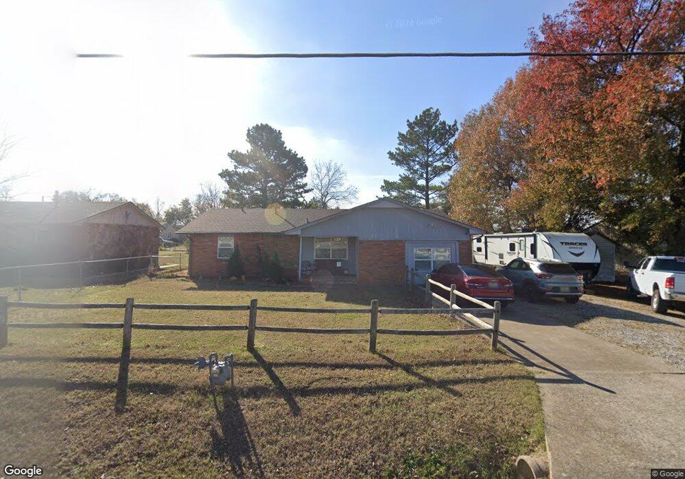
1009 Warren Rd Henryetta, OK 74437
Estimated Value: $124,389 - $175,000
3
Beds
2
Baths
1,422
Sq Ft
$103/Sq Ft
Est. Value
About This Home
This home is located at 1009 Warren Rd, Henryetta, OK 74437 and is currently estimated at $146,847, approximately $103 per square foot. 1009 Warren Rd is a home located in Okmulgee County with nearby schools including Henryetta Elementary School, Henryetta Middle School, and Henryetta High School.
Ownership History
Date
Name
Owned For
Owner Type
Purchase Details
Closed on
May 4, 2005
Sold by
Furer Bobby Keith and Furer Kelly Ann
Bought by
Green Keith E and Green Melanie Kay
Current Estimated Value
Home Financials for this Owner
Home Financials are based on the most recent Mortgage that was taken out on this home.
Original Mortgage
$15,000
Outstanding Balance
$7,811
Interest Rate
5.92%
Mortgage Type
Stand Alone Second
Estimated Equity
$139,036
Purchase Details
Closed on
Aug 6, 1999
Sold by
Ashcraft Ernest R
Bought by
Furer Bobby Keith
Create a Home Valuation Report for This Property
The Home Valuation Report is an in-depth analysis detailing your home's value as well as a comparison with similar homes in the area
Home Values in the Area
Average Home Value in this Area
Purchase History
| Date | Buyer | Sale Price | Title Company |
|---|---|---|---|
| Green Keith E | $75,000 | None Available | |
| Furer Bobby Keith | $50,000 | -- |
Source: Public Records
Mortgage History
| Date | Status | Borrower | Loan Amount |
|---|---|---|---|
| Open | Green Keith E | $15,000 | |
| Open | Green Keith E | $60,000 |
Source: Public Records
Tax History Compared to Growth
Tax History
| Year | Tax Paid | Tax Assessment Tax Assessment Total Assessment is a certain percentage of the fair market value that is determined by local assessors to be the total taxable value of land and additions on the property. | Land | Improvement |
|---|---|---|---|---|
| 2025 | $746 | $7,892 | $270 | $7,622 |
| 2024 | $671 | $7,892 | $270 | $7,622 |
| 2023 | $628 | $7,440 | $270 | $7,170 |
| 2022 | $609 | $7,223 | $270 | $6,953 |
| 2021 | $618 | $7,223 | $270 | $6,953 |
| 2020 | $632 | $7,371 | $270 | $7,101 |
| 2019 | $616 | $7,282 | $270 | $7,012 |
| 2018 | $598 | $7,070 | $270 | $6,800 |
| 2017 | $579 | $6,864 | $270 | $6,594 |
| 2016 | $698 | $8,076 | $270 | $7,806 |
| 2015 | $607 | $8,676 | $270 | $8,406 |
| 2014 | $616 | $8,676 | $270 | $8,406 |
Source: Public Records
Map
Nearby Homes
- 1205 N 8th St
- 810 W Gentry St
- 602 W Cummings St
- 502 W Merrick St
- 805 W Gentry St
- 611 W Gentry St
- 1409 N 5th St
- 512 N 4th St
- 911 W Trudgeon St
- 1103 Oakwood Cir
- 1403 W Division St
- 304 Hickory Dr
- 1508 Briarwood Ln
- 1503 Briarwood Ln
- 439 Maiden Ln
- 112 W Merrick St
- 407 N 2nd St
- 202 E John St
- 1511 Oakwood Dr
- 612 NE 1st St
- 1007 Warren Rd
- 0 11th St Unit 2104595
- 1002 Grant St
- 1009 Grant St
- 1007 Grant St
- 1005 Grant St
- 811 N 11th St
- 1003 Grant St
- 902 N 11th St
- 1001 Grant St
- 812 N 11th St
- 1008 Summitt St
- 913 Grant St
- 1014 Summitt St
- 1004 Summitt St
- 1008 Summit St
- 911 Grant St
- 1002 Summitt St
- 1102 Wade Wells Dr
- 909 Grant St