10090 Celio Rd Nevada City, CA 95959
Estimated Value: $305,000 - $400,000
1
Bed
1
Bath
741
Sq Ft
$454/Sq Ft
Est. Value
About This Home
This home is located at 10090 Celio Rd, Nevada City, CA 95959 and is currently estimated at $336,195, approximately $453 per square foot. 10090 Celio Rd is a home located in Nevada County with nearby schools including Deer Creek Elementary School, Seven Hills Intermediate School, and Forest Charter School.
Ownership History
Date
Name
Owned For
Owner Type
Purchase Details
Closed on
Mar 19, 2018
Sold by
Celio Richard C
Bought by
Celio Richard C and Celio Charlene H
Current Estimated Value
Purchase Details
Closed on
Nov 4, 2016
Sold by
Celio Gove Clarke and Celio Gove C
Bought by
Celio Gove C
Purchase Details
Closed on
Apr 12, 2007
Sold by
Celio Corinne
Bought by
Celio Corinne
Purchase Details
Closed on
Nov 15, 2006
Sold by
Celio Corinne
Bought by
Clarke Celio Corinne and Clarke Celio Gove
Create a Home Valuation Report for This Property
The Home Valuation Report is an in-depth analysis detailing your home's value as well as a comparison with similar homes in the area
Home Values in the Area
Average Home Value in this Area
Purchase History
| Date | Buyer | Sale Price | Title Company |
|---|---|---|---|
| Celio Richard C | -- | None Available | |
| Celio Gove C | -- | None Available | |
| Celio Corinne | -- | None Available | |
| Clarke Celio Corinne | -- | None Available |
Source: Public Records
Tax History
| Year | Tax Paid | Tax Assessment Tax Assessment Total Assessment is a certain percentage of the fair market value that is determined by local assessors to be the total taxable value of land and additions on the property. | Land | Improvement |
|---|---|---|---|---|
| 2025 | $1,080 | $79,859 | $29,756 | $50,103 |
| 2024 | $1,054 | $78,294 | $29,173 | $49,121 |
| 2023 | $1,054 | $76,759 | $28,601 | $48,158 |
| 2022 | $1,032 | $75,255 | $28,041 | $47,214 |
| 2021 | $993 | $73,781 | $27,492 | $46,289 |
| 2020 | $987 | $73,026 | $27,211 | $45,815 |
| 2019 | $966 | $71,595 | $26,678 | $44,917 |
| 2018 | $0 | $70,192 | $26,155 | $44,037 |
| 2017 | $927 | $68,817 | $25,643 | $43,174 |
| 2016 | $896 | $67,469 | $25,141 | $42,328 |
| 2015 | $882 | $66,457 | $24,764 | $41,693 |
| 2014 | $882 | $65,156 | $24,279 | $40,877 |
Source: Public Records
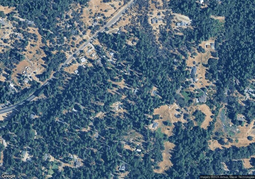
Map
Nearby Homes
- 10441 Rim Rock Ln
- 10121 Sun Ridge Ct
- 10641 Boulder St
- 10988 Berggren Ln
- 12056 N Bloomfield Rd
- 10952 Northcote Place
- 26853 N Bloomfield-Graniteville Rd
- 11793 Coyote Ct
- 11582 Red Dog Rd
- 126 Boulder St
- 11417 Red Dog Rd
- 11877 Incline Shaft Rd
- 224 Church St
- 347 Nile St
- 627 Beckman St
- 521 Silva Ave
- 203 Prospect St
- 603 W West Broad St
- 611 W Broad St
- 317 S Pine St
Your Personal Tour Guide
Ask me questions while you tour the home.