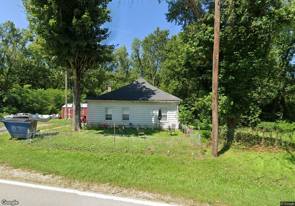
10097 Highway O Hannibal, MO 63401
Estimated Value: $101,257 - $371,000
2
Beds
1
Bath
1,266
Sq Ft
$178/Sq Ft
Est. Value
About This Home
This home is located at 10097 Highway O, Hannibal, MO 63401 and is currently estimated at $224,814, approximately $177 per square foot. 10097 Highway O is a home with nearby schools including Hannibal Senior High School, St. John's Lutheran School, and Holy Family School.
Ownership History
Date
Name
Owned For
Owner Type
Purchase Details
Closed on
Jun 15, 2020
Sold by
Brown Pamela S
Bought by
Horizon Rentals Llc
Current Estimated Value
Home Financials for this Owner
Home Financials are based on the most recent Mortgage that was taken out on this home.
Original Mortgage
$28,000
Outstanding Balance
$22,284
Interest Rate
3.2%
Mortgage Type
Future Advance Clause Open End Mortgage
Estimated Equity
$202,530
Create a Home Valuation Report for This Property
The Home Valuation Report is an in-depth analysis detailing your home's value as well as a comparison with similar homes in the area
Home Values in the Area
Average Home Value in this Area
Purchase History
| Date | Buyer | Sale Price | Title Company |
|---|---|---|---|
| Horizon Rentals Llc | -- | None Available |
Source: Public Records
Mortgage History
| Date | Status | Borrower | Loan Amount |
|---|---|---|---|
| Open | Horizon Rentals Llc | $28,000 |
Source: Public Records
Tax History Compared to Growth
Tax History
| Year | Tax Paid | Tax Assessment Tax Assessment Total Assessment is a certain percentage of the fair market value that is determined by local assessors to be the total taxable value of land and additions on the property. | Land | Improvement |
|---|---|---|---|---|
| 2024 | $405 | $6,800 | $2,420 | $4,380 |
| 2023 | $365 | $6,800 | $2,420 | $4,380 |
| 2022 | $364 | $6,800 | $2,420 | $4,380 |
| 2021 | $364 | $6,800 | $2,420 | $4,380 |
| 2020 | $371 | $6,800 | $2,420 | $4,380 |
| 2019 | $372 | $6,800 | $2,420 | $4,380 |
| 2018 | $360 | $6,540 | $2,420 | $4,120 |
| 2017 | $350 | $6,540 | $2,420 | $4,120 |
| 2016 | $342 | $6,550 | $2,420 | $4,130 |
| 2015 | -- | $6,550 | $2,420 | $4,130 |
| 2014 | -- | $5,150 | $1,200 | $3,950 |
| 2013 | -- | $5,150 | $1,200 | $3,950 |
Source: Public Records
Map
Nearby Homes
- 1927 Owens Ave
- 6 State Route O
- 1608 Singleton Ave
- 809 Lindell Ave
- 0 Minnow St
- 1716 36th St
- 2003 Spruce St
- 2101 Spruce St
- 1906-1910 Spruce St
- 321 S Griffith St
- 1914 Spruce St
- 2210 Spruce St
- 1908 Hope St
- 3710 Tilden St
- 1805 Chestnut St
- 1328 Ely St
- 2014 Chestnut St
- 2606 Hope St
- 2213 Broadway
- 1613 Broadway
- 10102 Highway O
- 1724 Montana St
- 2342 Lilly St
- 10034 Highway O
- 2309 Lilly St
- 2281 Lilly St
- 10127 Highway O
- 10127 Highway O Unit A
- 1902 Lindell Ave
- 10261 Highway O
- 2405 Lilly St
- 1713 Vermont St
- 1500 Elzea Ave
- 2403 Lilly St
- 1729 S Arch St
- 1718 Vermont St
- 2400 Lilly St
- 1714 S Arch St
- 1701 Dean Ave
- 1716 Vermont St