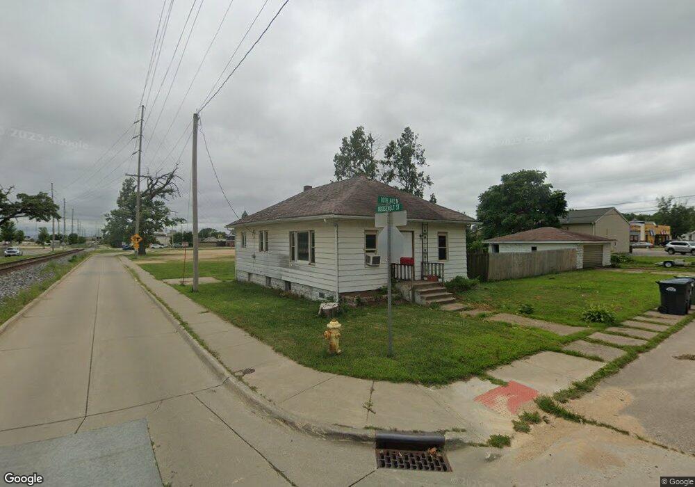
101 10th Ave N Clinton, IA 52732
Estimated Value: $82,000 - $98,000
2
Beds
1
Bath
984
Sq Ft
$88/Sq Ft
Est. Value
About This Home
This home is located at 101 10th Ave N, Clinton, IA 52732 and is currently estimated at $86,793, approximately $88 per square foot. 101 10th Ave N is a home with nearby schools including Whittier Elementary School, Clinton Middle School, and Clinton High School.
Ownership History
Date
Name
Owned For
Owner Type
Purchase Details
Closed on
Jul 26, 2024
Sold by
Barton Billy V and Mcvey Christina J
Bought by
Mcvey Christina J
Current Estimated Value
Purchase Details
Closed on
Jul 7, 2017
Sold by
Gateway State Bank
Bought by
Barton Billy V and Mcvey Vhristina J
Purchase Details
Closed on
Nov 18, 2016
Sold by
River City Investing Group Inc
Bought by
Gateway State Bank
Purchase Details
Closed on
Mar 21, 2013
Sold by
Bu Jp Rental Development Llc
Bought by
Barton Billy V and Mcvey Christina J
Purchase Details
Closed on
Oct 5, 2006
Sold by
Schwarz Thomas and Schwarz Sarah M
Bought by
River City Investing Group Inc
Home Financials for this Owner
Home Financials are based on the most recent Mortgage that was taken out on this home.
Original Mortgage
$58,364
Interest Rate
6.5%
Mortgage Type
Unknown
Create a Home Valuation Report for This Property
The Home Valuation Report is an in-depth analysis detailing your home's value as well as a comparison with similar homes in the area
Home Values in the Area
Average Home Value in this Area
Purchase History
| Date | Buyer | Sale Price | Title Company |
|---|---|---|---|
| Mcvey Christina J | -- | None Listed On Document | |
| Barton Billy V | $47,000 | None Available | |
| Gateway State Bank | -- | Attorney | |
| Gateway State Bank | -- | Attorney | |
| Barton Billy V | $46,900 | None Available | |
| Bu Jp Rental Development Llc | -- | None Available | |
| River City Investing Group Inc | $59,000 | None Available |
Source: Public Records
Mortgage History
| Date | Status | Borrower | Loan Amount |
|---|---|---|---|
| Previous Owner | River City Investing Group Inc | $58,364 |
Source: Public Records
Tax History Compared to Growth
Tax History
| Year | Tax Paid | Tax Assessment Tax Assessment Total Assessment is a certain percentage of the fair market value that is determined by local assessors to be the total taxable value of land and additions on the property. | Land | Improvement |
|---|---|---|---|---|
| 2024 | $1,322 | $71,050 | $19,600 | $51,450 |
| 2023 | $1,919 | $71,050 | $19,600 | $51,450 |
| 2022 | $1,547 | $42,608 | $8,417 | $34,191 |
| 2021 | $1,189 | $42,608 | $8,417 | $34,191 |
| 2020 | $1,968 | $42,608 | $8,417 | $34,191 |
| 2019 | $1,016 | $42,608 | $0 | $0 |
| 2018 | $988 | $42,608 | $0 | $0 |
| 2017 | $1,016 | $42,608 | $0 | $0 |
| 2016 | $984 | $42,608 | $0 | $0 |
| 2015 | $984 | $42,608 | $0 | $0 |
| 2014 | $988 | $42,608 | $0 | $0 |
| 2013 | $974 | $0 | $0 | $0 |
Source: Public Records
Map
Nearby Homes
- 1013 N 2nd St
- 923 Pershing Blvd
- 1022 Pershing Blvd
- 924 N 3rd St
- 828 Park Place
- 704 N 3rd St
- 728 Park Place
- 348 6th Ave N
- 620 N 4th St
- 1423 Pershing Blvd
- 700 N Bluff Blvd
- 312 N 3rd St
- 1022 Hickory Hill Ct
- 504 6th Ave N
- 515 Woodland Dr
- 510 6th Ave N
- 1522 N 4th St
- 582 Breezy Point Dr
- 591 Breezy Point Dr
- 320 16th Ave N