101 Ambush Rd Roundup, MT 59072
Estimated Value: $366,000 - $458,000
3
Beds
2
Baths
1,544
Sq Ft
$262/Sq Ft
Est. Value
About This Home
This home is located at 101 Ambush Rd, Roundup, MT 59072 and is currently estimated at $403,987, approximately $261 per square foot. 101 Ambush Rd is a home located in Musselshell County with nearby schools including Roundup Elementary School, Roundup Junior High School, and Roundup High School.
Ownership History
Date
Name
Owned For
Owner Type
Purchase Details
Closed on
Jul 15, 1996
Bought by
Hull Gene A and Hull Katherine M
Current Estimated Value
Create a Home Valuation Report for This Property
The Home Valuation Report is an in-depth analysis detailing your home's value as well as a comparison with similar homes in the area
Purchase History
| Date | Buyer | Sale Price | Title Company |
|---|---|---|---|
| Hull Gene A | -- | -- |
Source: Public Records
Tax History
| Year | Tax Paid | Tax Assessment Tax Assessment Total Assessment is a certain percentage of the fair market value that is determined by local assessors to be the total taxable value of land and additions on the property. | Land | Improvement |
|---|---|---|---|---|
| 2025 | $155 | $204,691 | $0 | $0 |
| 2024 | $200 | $166,737 | $0 | $0 |
| 2023 | $383 | $166,737 | $0 | $0 |
| 2022 | $247 | $152,403 | $0 | $0 |
| 2021 | $239 | $152,403 | $0 | $0 |
| 2020 | $430 | $147,654 | $0 | $0 |
| 2019 | $515 | $147,654 | $0 | $0 |
| 2018 | $464 | $150,223 | $0 | $0 |
| 2017 | $1,463 | $150,223 | $0 | $0 |
| 2016 | $1,226 | $121,041 | $0 | $0 |
| 2015 | $948 | $121,041 | $0 | $0 |
| 2014 | $880 | $61,736 | $0 | $0 |
Source: Public Records
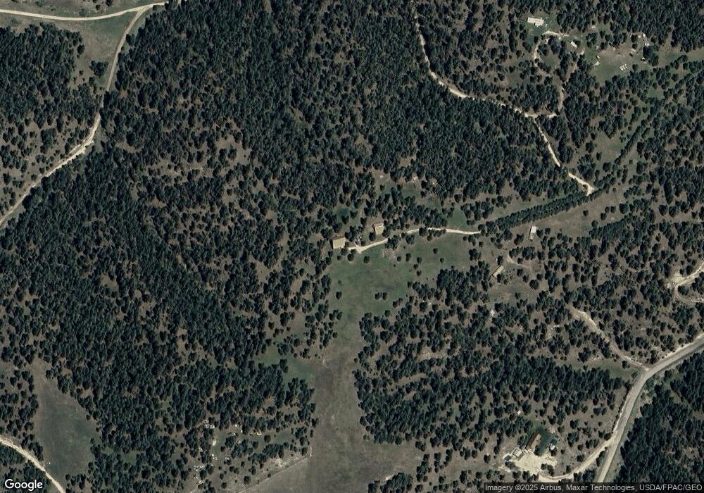
Map
Nearby Homes
- 47 Mountain View Rd
- 31 Three Forks Way
- 3698 U S 87
- tbd Buckskin Rd
- 262 Roland Rd
- 18 & 20 Meadow View Ln
- 0 Buckskin Rd
- 81 N Canyon Dr
- Tbd Buckskin Rd
- 20 Acres Roland Rd
- 0 Eagle Ridge Rd
- 245 Johnny's Coal Rd
- 51 Buckskin Rd
- 52 Buckskin Rd
- 252 Harper Coulee Rd
- TBD Blue Rd
- 101 Smith Rd
- 24 Klein Rd
- TBD Smith Ct
- 154 Old Divide Rd
Your Personal Tour Guide
Ask me questions while you tour the home.