Estimated Value: $789,457
Studio
3
Baths
--
Sq Ft
97,008
Sq Ft Lot
About This Home
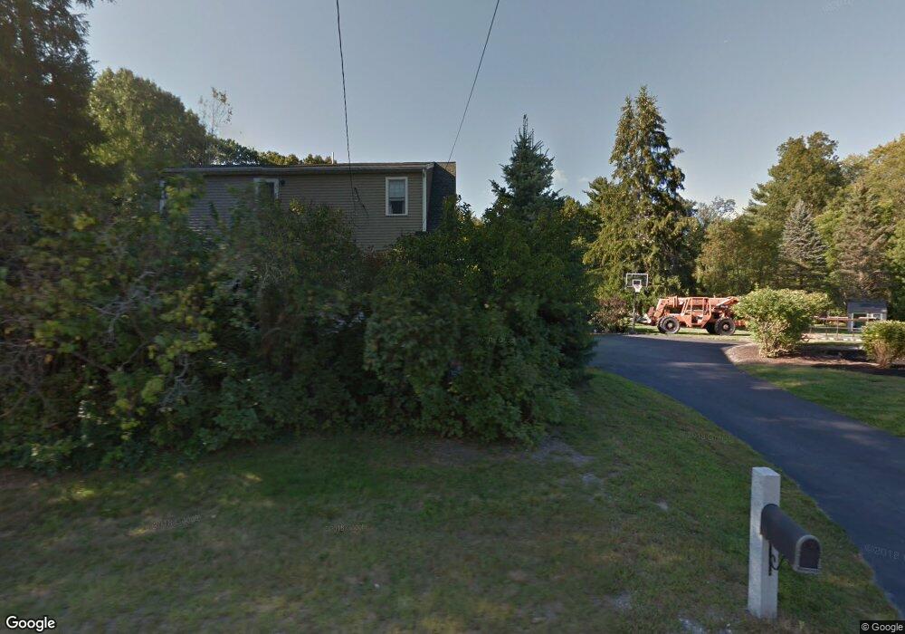
This home is located at 101 Central St, Acton, MA 01720 and is currently estimated at $789,457. 101 Central St is a home located in Middlesex County with nearby schools including Acton-Boxborough Regional High School, Maynard Knowledge Beginnings, and The Imago School.
Ownership History
Date
Name
Owned For
Owner Type
Purchase Details
Closed on
Oct 31, 2025
Sold by
Horne John C and Piper Deborah L
Bought by
Horne-Piper Childrens Gif and Chambers
Current Estimated Value
Purchase Details
Closed on
May 31, 1990
Sold by
Richardson Paul I
Bought by
Piper Deborah L
Create a Home Valuation Report for This Property
The Home Valuation Report is an in-depth analysis detailing your home's value as well as a comparison with similar homes in the area
Home Values in the Area
Average Home Value in this Area
Purchase History
| Date | Buyer | Sale Price | Title Company |
|---|---|---|---|
| Horne-Piper Childrens Gif | -- | -- | |
| Piper Deborah L | $189,000 | -- | |
| Piper Deborah L | $189,000 | -- |
Source: Public Records
Mortgage History
| Date | Status | Borrower | Loan Amount |
|---|---|---|---|
| Previous Owner | Piper Deborah L | $40,000 | |
| Previous Owner | Piper Deborah L | $25,000 |
Source: Public Records
Tax History
| Year | Tax Paid | Tax Assessment Tax Assessment Total Assessment is a certain percentage of the fair market value that is determined by local assessors to be the total taxable value of land and additions on the property. | Land | Improvement |
|---|---|---|---|---|
| 2025 | $12,152 | $708,600 | $333,000 | $375,600 |
| 2024 | $11,316 | $678,800 | $333,000 | $345,800 |
| 2023 | $11,921 | $678,900 | $302,900 | $376,000 |
| 2022 | $12,341 | $634,500 | $263,400 | $371,100 |
| 2021 | $95 | $576,200 | $243,700 | $332,500 |
| 2020 | $6,669 | $576,200 | $243,700 | $332,500 |
| 2019 | $204 | $551,000 | $243,700 | $307,300 |
| 2018 | $204 | $516,800 | $243,700 | $273,100 |
| 2017 | $9,984 | $523,800 | $243,700 | $280,100 |
| 2016 | $10,052 | $522,700 | $243,700 | $279,000 |
| 2015 | $6,892 | $361,800 | $115,600 | $246,200 |
| 2014 | $6,755 | $347,300 | $115,600 | $231,700 |
Source: Public Records
Map
Nearby Homes
- 184 Main St Unit 3
- 6 Beacon Ct
- 90 Willow St Unit 1
- 92 Willow St Unit 3
- 92 Willow St Unit 2
- 25 Nylander Way
- 7 Kelley Rd
- 131 Main St
- 129 Main St Unit 129
- 235 Arlington St
- 631 Massachusetts Ave Unit 631
- 20 Joseph Reed Ln
- 40 High St
- 70 River St
- 30 Brewster Ln
- 1 Vanderbelt Rd
- 79 Charter Rd
- 5 Perkins Ln
- 18 Hayward Rd
- 280 W Acton Rd
- 103 Central St
- 97 Central St
- 107 Central St
- 44 Tuttle Dr
- 113 Central St
- 106 Central St
- 39 Tuttle Dr
- 2 Wayside Ln
- 4 Wayside Ln
- 112 Central St Unit 112
- 110 Central St
- 42 Tuttle Dr
- 29 Lothrop Rd
- 93 Central St
- 116 Central St
- 116 Central St Unit 116
- 91 Central St
- 114 -116 Central St
- 5 Wayside Ln
- 30 Lothrop Rd
Your Personal Tour Guide
Ask me questions while you tour the home.