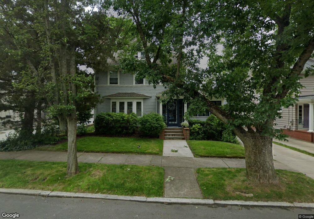
101 Cole Ave Providence, RI 02906
Blackstone NeighborhoodEstimated Value: $1,162,400 - $1,402,000
6
Beds
2
Baths
2,556
Sq Ft
$501/Sq Ft
Est. Value
About This Home
This home is located at 101 Cole Ave, Providence, RI 02906 and is currently estimated at $1,281,467, approximately $501 per square foot. 101 Cole Ave is a home located in Providence County with nearby schools including Asa Messer Elementary School, Charles N. Fortes Elementary School, and Veazie Street Elementary School.
Ownership History
Date
Name
Owned For
Owner Type
Purchase Details
Closed on
Aug 29, 1996
Sold by
Mazzucchelli Louis J
Bought by
Bonitati Michael J and Bonitati Alice
Current Estimated Value
Home Financials for this Owner
Home Financials are based on the most recent Mortgage that was taken out on this home.
Original Mortgage
$188,000
Interest Rate
8.18%
Create a Home Valuation Report for This Property
The Home Valuation Report is an in-depth analysis detailing your home's value as well as a comparison with similar homes in the area
Home Values in the Area
Average Home Value in this Area
Purchase History
| Date | Buyer | Sale Price | Title Company |
|---|---|---|---|
| Bonitati Michael J | $235,000 | -- |
Source: Public Records
Mortgage History
| Date | Status | Borrower | Loan Amount |
|---|---|---|---|
| Open | Bonitati Michael J | $269,000 | |
| Closed | Bonitati Michael J | $173,000 | |
| Closed | Bonitati Michael J | $188,000 |
Source: Public Records
Tax History Compared to Growth
Tax History
| Year | Tax Paid | Tax Assessment Tax Assessment Total Assessment is a certain percentage of the fair market value that is determined by local assessors to be the total taxable value of land and additions on the property. | Land | Improvement |
|---|---|---|---|---|
| 2025 | $8,182 | $974,000 | $537,100 | $436,900 |
| 2024 | $14,513 | $790,900 | $358,700 | $432,200 |
| 2023 | $14,513 | $790,900 | $358,700 | $432,200 |
| 2022 | $14,078 | $790,900 | $358,700 | $432,200 |
| 2021 | $14,579 | $593,600 | $280,900 | $312,700 |
| 2020 | $14,579 | $593,600 | $280,900 | $312,700 |
| 2019 | $14,579 | $593,600 | $280,900 | $312,700 |
| 2018 | $14,714 | $460,400 | $255,400 | $205,000 |
| 2017 | $14,526 | $454,500 | $255,400 | $199,100 |
| 2016 | $14,526 | $454,500 | $255,400 | $199,100 |
| 2015 | $14,054 | $424,600 | $246,400 | $178,200 |
| 2014 | $14,330 | $424,600 | $246,400 | $178,200 |
| 2013 | $14,330 | $424,600 | $246,400 | $178,200 |
Source: Public Records
Map
Nearby Homes
- 189 Laurel Ave Unit 189
- 160 Slater Ave
- 234 President Ave Unit 16
- 188 Blackstone Blvd
- 140 Freeman Pkwy
- 134 Irving Ave
- 184 Irving Ave Unit 1
- 22 Miles Ave Unit 1
- 80 Clarendon Ave
- 141 Elton St
- 125 Taber Ave
- 294 Cole Ave
- 296 Cole Ave
- 201 Arlington Ave
- 360 Taber Ave
- 41 Stadium Rd
- 41 Taber Ave
- 537 Angell St Unit 3
- 30 S Angell St Unit 2
- 19 S Angell St Unit 2
- 107 Cole Ave
- 95 Cole Ave
- 68 Lorraine Ave
- 115 Cole Ave
- 89 Cole Ave
- 78 Lorraine Ave
- 60 Lorraine Ave
- 104 Cole Ave
- 108 Cole Ave
- 117 Cole Ave
- 117 Cole Ave Unit 1
- 52 Lorraine Ave
- 182 Everett Ave
- 125 Cole Ave Unit 125 B
- 85 Cole Ave
- 123 Cole Ave
- 37 Luzon Ave
- 46 Lorraine Ave
- 39 Luzon Ave
- 39 Luzon Ave Unit 39