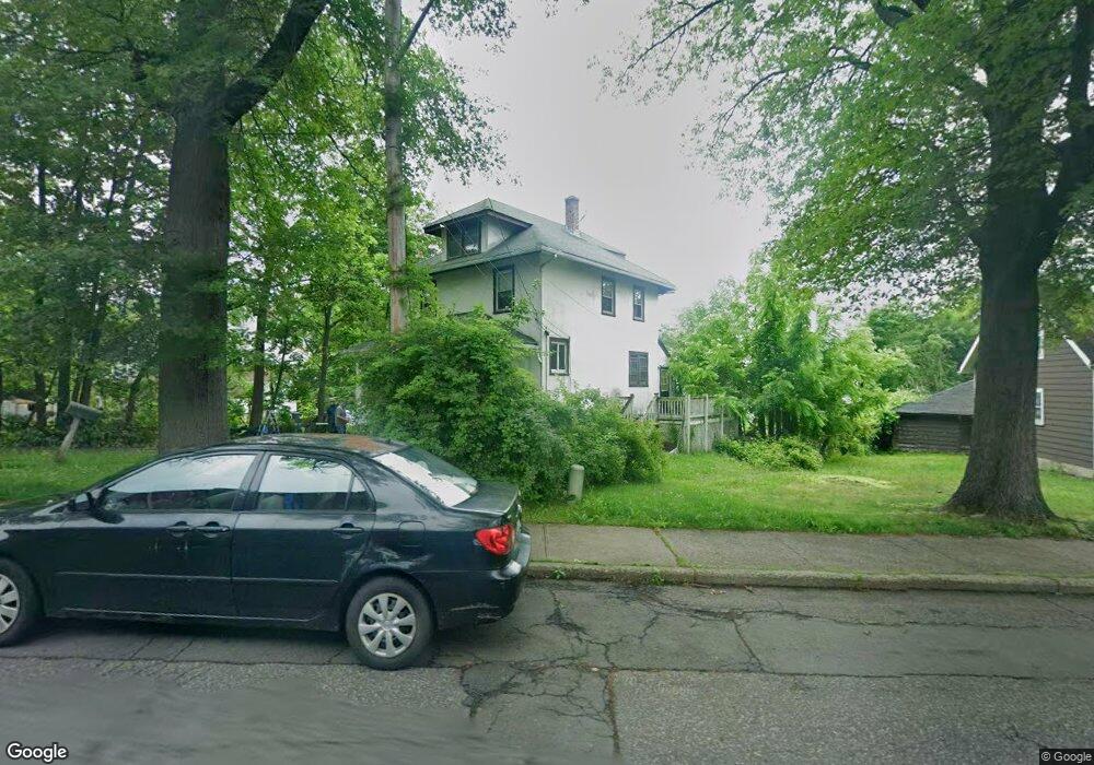
101 Cooper Dr Nyack, NY 10960
South Nyack NeighborhoodEstimated Value: $563,000 - $605,000
3
Beds
1
Bath
1,560
Sq Ft
$374/Sq Ft
Est. Value
About This Home
This home is located at 101 Cooper Dr, Nyack, NY 10960 and is currently estimated at $583,383, approximately $373 per square foot. 101 Cooper Dr is a home located in Rockland County with nearby schools including Nyack Senior High School and Transfiguration School.
Ownership History
Date
Name
Owned For
Owner Type
Purchase Details
Closed on
Jun 1, 2004
Sold by
Snodgrass Douglas and Snodgrass Catherine
Bought by
Alexis Jean Wilfred
Current Estimated Value
Home Financials for this Owner
Home Financials are based on the most recent Mortgage that was taken out on this home.
Original Mortgage
$264,000
Outstanding Balance
$137,613
Interest Rate
7%
Mortgage Type
Purchase Money Mortgage
Estimated Equity
$445,770
Purchase Details
Closed on
Jun 13, 1997
Sold by
Stubblefield Herman and Stubblefield Twyla
Bought by
Snodgrass Douglas and Snodgrass Catherine
Home Financials for this Owner
Home Financials are based on the most recent Mortgage that was taken out on this home.
Original Mortgage
$133,200
Interest Rate
7.87%
Mortgage Type
Construction
Create a Home Valuation Report for This Property
The Home Valuation Report is an in-depth analysis detailing your home's value as well as a comparison with similar homes in the area
Home Values in the Area
Average Home Value in this Area
Purchase History
| Date | Buyer | Sale Price | Title Company |
|---|---|---|---|
| Alexis Jean Wilfred | $330,000 | -- | |
| Snodgrass Douglas | $148,000 | Commonwealth Land Title Ins |
Source: Public Records
Mortgage History
| Date | Status | Borrower | Loan Amount |
|---|---|---|---|
| Open | Alexis Jean Wilfred | $264,000 | |
| Previous Owner | Snodgrass Douglas | $133,200 |
Source: Public Records
Tax History Compared to Growth
Tax History
| Year | Tax Paid | Tax Assessment Tax Assessment Total Assessment is a certain percentage of the fair market value that is determined by local assessors to be the total taxable value of land and additions on the property. | Land | Improvement |
|---|---|---|---|---|
| 2024 | $12,682 | $148,000 | $16,700 | $131,300 |
| 2023 | $12,682 | $148,000 | $16,700 | $131,300 |
| 2022 | $11,078 | $148,000 | $16,700 | $131,300 |
| 2021 | $11,078 | $148,000 | $16,700 | $131,300 |
| 2020 | $9,998 | $148,000 | $16,700 | $131,300 |
| 2019 | $2,302 | $148,000 | $16,700 | $131,300 |
| 2018 | $7,264 | $148,000 | $16,700 | $131,300 |
| 2017 | $9,128 | $148,000 | $16,700 | $131,300 |
| 2016 | $9,128 | $148,000 | $16,700 | $131,300 |
| 2015 | -- | $148,000 | $16,700 | $131,300 |
| 2014 | -- | $148,000 | $16,700 | $131,300 |
Source: Public Records
Map
Nearby Homes
- 162 S Broadway
- 7 Berachah Ave
- 18 Division Ave
- 36 Prospect St
- 10 Prospect St
- 9 Voorhis Point
- 16 Anna St
- 24 Washington Ave
- 2 Shadyside Ave
- 3 Remsen St
- 2 Washington Ave
- 1 Washington Ave
- 53 Glen Byron Ave
- 28 Catherine St
- 109 High Ave Unit 302
- 26 Catherine St
- 153 High Ave
- 320 S Broadway
- 218 High Ave
- 19 Shadyside Ave
- 77 Brookside Ave
- 77 Brookside Ave Unit 1
- 77 Brookside Ave Unit 2
- 77 Brookside Ave Unit 3
- 103 Cooper Dr
- 99 Cooper Dr
- 105 Cooper Dr
- 148 Clinton Ave
- 65 Brookside Ave
- 82 Brookside Ave Unit 82-84
- 82 Brookside Ave Unit 84
- 84 Brookside Ave
- 144 Clinton Ave
- 86 Brookside Ave
- 80 Brookside Ave
- 76 Brookside Ave
- 88 Brookside Ave
- 74 Brookside Ave
- 70 Brookside Ave Unit 72
- 90 Brookside Ave