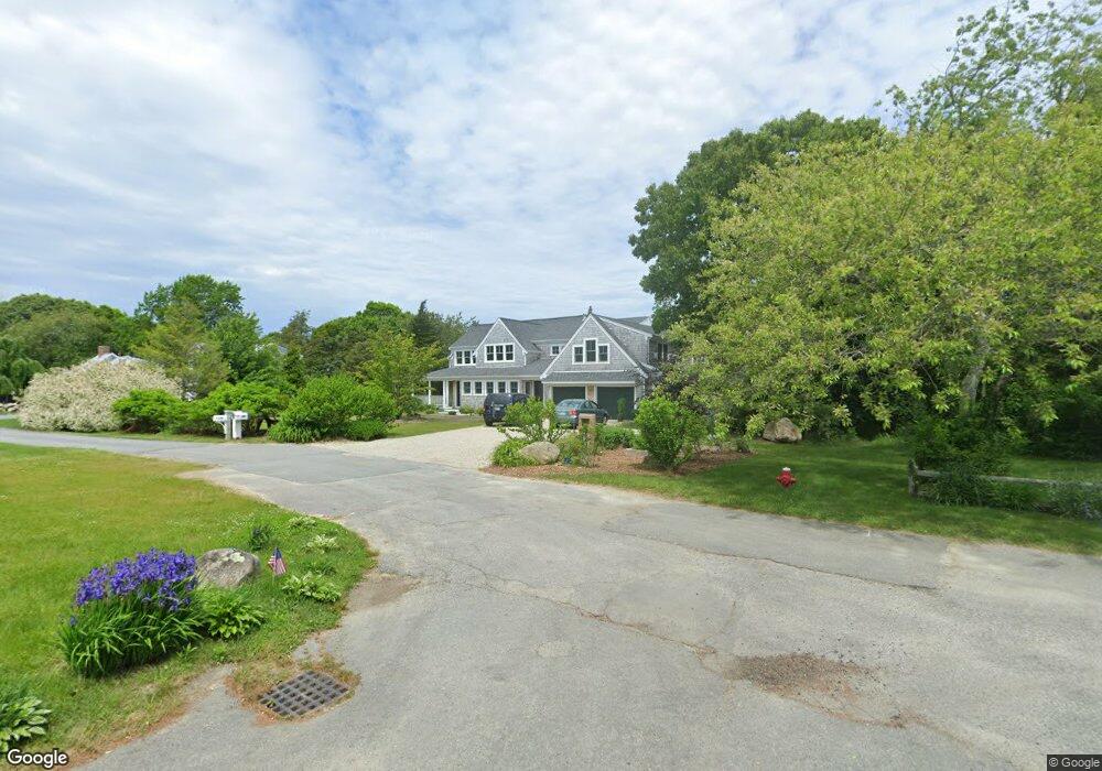
101 Deacon Ct Barnstable, MA 02630
Barnstable Village NeighborhoodEstimated Value: $1,239,000 - $2,032,000
3
Beds
4
Baths
3,567
Sq Ft
$473/Sq Ft
Est. Value
About This Home
This home is located at 101 Deacon Ct, Barnstable, MA 02630 and is currently estimated at $1,686,643, approximately $472 per square foot. 101 Deacon Ct is a home located in Barnstable County with nearby schools including West Barnstable Elementary School, Barnstable United Elementary School, and Barnstable Intermediate School.
Ownership History
Date
Name
Owned For
Owner Type
Purchase Details
Closed on
Aug 31, 2010
Sold by
Swift William F and Swift Catherine R
Bought by
Brown David J
Current Estimated Value
Home Financials for this Owner
Home Financials are based on the most recent Mortgage that was taken out on this home.
Original Mortgage
$584,000
Outstanding Balance
$386,665
Interest Rate
4.57%
Mortgage Type
Purchase Money Mortgage
Estimated Equity
$1,299,978
Purchase Details
Closed on
Sep 29, 1997
Sold by
Swift William P and Swift Harriett J
Bought by
Swift Catherine R
Purchase Details
Closed on
Nov 15, 1990
Sold by
First Fed S & L Assoc
Bought by
Parke Robert C
Home Financials for this Owner
Home Financials are based on the most recent Mortgage that was taken out on this home.
Original Mortgage
$80,000
Interest Rate
10.03%
Mortgage Type
Purchase Money Mortgage
Purchase Details
Closed on
May 17, 1990
Sold by
Blakely George W
Bought by
Fst Fed S & L Assn Cp Cd
Create a Home Valuation Report for This Property
The Home Valuation Report is an in-depth analysis detailing your home's value as well as a comparison with similar homes in the area
Home Values in the Area
Average Home Value in this Area
Purchase History
| Date | Buyer | Sale Price | Title Company |
|---|---|---|---|
| Brown David J | $730,000 | -- | |
| Swift Catherine R | $38,000 | -- | |
| Swift William F | $38,000 | -- | |
| Parke Robert C | $135,000 | -- | |
| Fst Fed S & L Assn Cp Cd | $130,000 | -- |
Source: Public Records
Mortgage History
| Date | Status | Borrower | Loan Amount |
|---|---|---|---|
| Open | Brown David J | $584,000 | |
| Previous Owner | Fst Fed S & L Assn Cp Cd | $80,000 |
Source: Public Records
Tax History
| Year | Tax Paid | Tax Assessment Tax Assessment Total Assessment is a certain percentage of the fair market value that is determined by local assessors to be the total taxable value of land and additions on the property. | Land | Improvement |
|---|---|---|---|---|
| 2025 | $16,444 | $1,779,600 | $547,200 | $1,232,400 |
| 2024 | $13,027 | $1,487,100 | $547,200 | $939,900 |
| 2023 | $6,949 | $773,800 | $385,500 | $388,300 |
| 2022 | $9,071 | $812,800 | $327,500 | $485,300 |
| 2021 | $8,277 | $706,800 | $297,800 | $409,000 |
| 2020 | $8,741 | $713,000 | $298,600 | $414,400 |
| 2019 | $8,244 | $674,600 | $298,600 | $376,000 |
| 2018 | $7,963 | $633,000 | $326,800 | $306,200 |
| 2017 | $8,019 | $641,500 | $339,300 | $302,200 |
| 2016 | $7,886 | $639,600 | $338,500 | $301,100 |
| 2015 | $8,465 | $699,000 | $410,700 | $288,300 |
Source: Public Records
Map
Nearby Homes
- 3528 Main St
- 0 Indian Trail
- 30 Indian Trail
- 79 Bayberry Ln
- 93 Harris Meadow Ln
- 69 Allyn Ln
- 41 Dromoland Ln
- 44 Iris Ln
- 2656 Main St
- 0 Phinneys Ln
- 11 Shepherds Way
- 65 Oakmont Rd
- 4390 Main St
- 210 Attucks Ln
- 230 Attucks Ln
- 100 Spy Glass Hill Rd
- 18 Sleeping Dog Path
- 34 Black Duck Ln
- 81 Desert Sands Ln
- 162 Route 6a
Your Personal Tour Guide
Ask me questions while you tour the home.