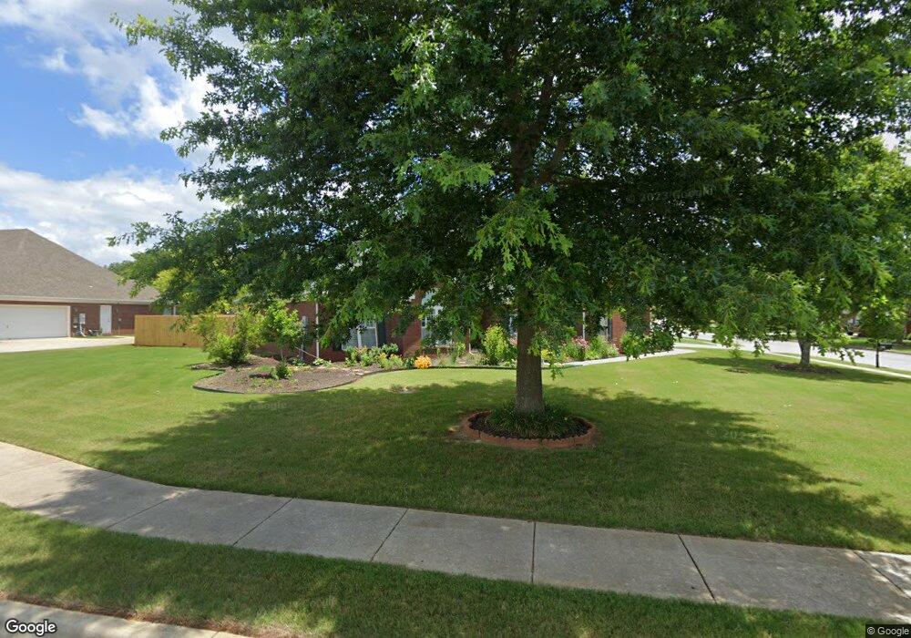
101 Dupont Cir Madison, AL 35758
Estimated Value: $359,784 - $392,000
4
Beds
3
Baths
2,023
Sq Ft
$183/Sq Ft
Est. Value
About This Home
This home is located at 101 Dupont Cir, Madison, AL 35758 and is currently estimated at $371,196, approximately $183 per square foot. 101 Dupont Cir is a home located in Madison County with nearby schools including Discovery Middle School, Bob Jones High School, and Madison Baptist Academy.
Ownership History
Date
Name
Owned For
Owner Type
Purchase Details
Closed on
Jun 12, 2019
Sold by
Randolph Carl R
Bought by
Parsons Gregory S and Parsons Sally E
Current Estimated Value
Home Financials for this Owner
Home Financials are based on the most recent Mortgage that was taken out on this home.
Original Mortgage
$178,960
Outstanding Balance
$117,420
Interest Rate
4.1%
Mortgage Type
New Conventional
Estimated Equity
$253,776
Create a Home Valuation Report for This Property
The Home Valuation Report is an in-depth analysis detailing your home's value as well as a comparison with similar homes in the area
Home Values in the Area
Average Home Value in this Area
Purchase History
| Date | Buyer | Sale Price | Title Company |
|---|---|---|---|
| Parsons Gregory S | $223,700 | Adm Title Services Llc |
Source: Public Records
Mortgage History
| Date | Status | Borrower | Loan Amount |
|---|---|---|---|
| Open | Parsons Gregory S | $178,960 |
Source: Public Records
Tax History Compared to Growth
Tax History
| Year | Tax Paid | Tax Assessment Tax Assessment Total Assessment is a certain percentage of the fair market value that is determined by local assessors to be the total taxable value of land and additions on the property. | Land | Improvement |
|---|---|---|---|---|
| 2024 | $2,204 | $35,340 | $6,000 | $29,340 |
| 2023 | $2,214 | $34,160 | $6,000 | $28,160 |
| 2022 | $1,663 | $26,580 | $4,260 | $22,320 |
| 2021 | $1,511 | $24,180 | $4,260 | $19,920 |
| 2020 | $1,413 | $20,870 | $4,250 | $16,620 |
| 2019 | $995 | $19,730 | $4,250 | $15,480 |
| 2018 | $949 | $18,840 | $0 | $0 |
| 2017 | $909 | $18,700 | $0 | $0 |
| 2016 | $909 | $18,700 | $0 | $0 |
| 2015 | $909 | $18,700 | $0 | $0 |
| 2014 | $940 | $19,500 | $0 | $0 |
Source: Public Records
Map
Nearby Homes
- 469 1/2 Gillespie Rd
- 102 Mabscott Dr
- 125 Monument Ln
- 106 Clover Ridge Dr
- 107 Monument Ln
- 469 Gillespie Rd
- 108 Sunnyfield Dr
- 104 Fireside Ln
- 122 Sunnyfield Dr
- 1304 Liberty Dr
- 198 Fernbridge Blvd
- 351 Gillespie Rd
- 205 Little Oak
- 115 Liverpool Dr
- 110 Woodley Rd
- 2009 Liberty Dr Unit 2009
- 2006 Liberty Dr
- 305 Walden Glen Ct
- 133 Philadelphia Dr
- 5220 Wall Triana Hwy
- 103 Dupont Cir
- 205 Pennsylvania Ave
- 100 Dupont Cir
- 105 Dupont Cir
- 102 Dupont Cir
- 208 Pennsylvania Ave
- 203 Pennsylvania Ave
- 204 Pennsylvania Ave
- 206 Pennsylvania Ave
- 104 Dupont Cir
- 210 Pennsylvania Ave
- 107 Dupont Cir
- 202 Pennsylvania Ave
- 101 Tudor Place
- 103 Tudor Place
- 106 Dupont Cir
- 212 Pennsylvania Ave
- 105 Tudor Place
- 109 Dupont Cir
- 108 Dupont Cir