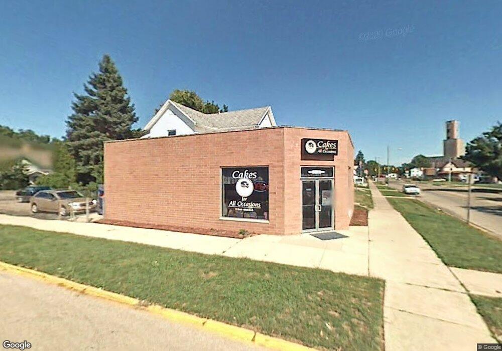
101 E Main St Fairborn, OH 45324
Estimated Value: $209,742
Studio
--
Bath
2,950
Sq Ft
$71/Sq Ft
Est. Value
About This Home
This home is located at 101 E Main St, Fairborn, OH 45324 and is currently estimated at $209,742, approximately $71 per square foot. 101 E Main St is a home located in Greene County with nearby schools including Fairborn Primary School, Fairborn Intermediate School, and Fairborn Middle School.
Ownership History
Date
Name
Owned For
Owner Type
Purchase Details
Closed on
Aug 16, 2024
Sold by
Revocable Inter Vivos Trust Of Ann Homan and Elder Audrey
Bought by
Neff Robert
Current Estimated Value
Purchase Details
Closed on
Aug 6, 2013
Sold by
Mccaskey Beverly A
Bought by
Brooks Tara L
Purchase Details
Closed on
Dec 29, 2006
Sold by
Estate Of Ann Homanick
Bought by
Mccaskey Beverly A and Ann Homanick Revocable Inter Vivos Trust
Purchase Details
Closed on
Jan 20, 2006
Sold by
Estate Of Ann Homanick
Bought by
Mccaskey Beverly A and Ann Homanick Revocable Inter Vivos Trust
Create a Home Valuation Report for This Property
The Home Valuation Report is an in-depth analysis detailing your home's value as well as a comparison with similar homes in the area
Home Values in the Area
Average Home Value in this Area
Purchase History
| Date | Buyer | Sale Price | Title Company |
|---|---|---|---|
| Neff Robert | $200,000 | None Listed On Document | |
| Brooks Tara L | $100,000 | None Available | |
| Mccaskey Beverly A | -- | None Available | |
| Mccaskey Beverly A | -- | None Available |
Source: Public Records
Mortgage History
| Date | Status | Borrower | Loan Amount |
|---|---|---|---|
| Closed | Brooks Tara L | $0 |
Source: Public Records
Tax History
| Year | Tax Paid | Tax Assessment Tax Assessment Total Assessment is a certain percentage of the fair market value that is determined by local assessors to be the total taxable value of land and additions on the property. | Land | Improvement |
|---|---|---|---|---|
| 2025 | $3,307 | $56,850 | $13,640 | $43,210 |
| 2024 | $3,307 | $55,360 | $13,640 | $41,720 |
| 2023 | $3,198 | $55,360 | $13,640 | $41,720 |
| 2022 | $3,476 | $52,050 | $13,640 | $38,410 |
| 2021 | $3,536 | $52,050 | $13,640 | $38,410 |
| 2020 | $3,544 | $52,050 | $13,640 | $38,410 |
| 2019 | $3,388 | $51,280 | $13,640 | $37,640 |
| 2018 | $3,422 | $51,280 | $13,640 | $37,640 |
| 2017 | $3,355 | $51,280 | $13,640 | $37,640 |
| 2016 | $3,293 | $50,030 | $13,640 | $36,390 |
| 2015 | $7,387 | $50,030 | $13,640 | $36,390 |
| 2014 | $3,454 | $50,030 | $13,640 | $36,390 |
Source: Public Records
Map
Nearby Homes
- 112 E Xenia Dr
- 308 E Xenia Dr
- 112 Mann Ave
- 323 Mann Ave
- 34 Greene St
- 261 Archer Dr
- 106 E Hebble Ave
- 313 Archer Dr
- 315 W Dayton Dr
- 315 Greene St
- 388-390 Morris Dr Unit 388
- 000 Morris Dr
- 504 Greene St
- 15 Diana Ln N
- 303 E Whittier Ave
- 226-230 N Broad St
- 621 June Dr
- 139 Hower Ln
- 711 N Central Ave
- 153 Diana Ln N
- 109 E Main St Unit 111
- 20 N Pleasant Ave
- 19 E Main St
- 1851 Prairie Way
- 1737 Wildflower Rd
- 2305 206 Pinnacle Private Ct
- 2305 Ct Unit 205
- 22 E Main St
- 126 E Main St
- 16 S Pleasant Ave
- 16 S Pleasant Ave
- 133 E Main St
- 30 N Pleasant Ave
- 21 N Pleasant Ave
- 25 N Maple Ave
- 27 N Pleasant Ave
- 7-9 S Maple Ave
- 9 S Maple Ave Unit 7
- 9 S Maple Ave
- 7 S Maple Ave
Your Personal Tour Guide
Ask me questions while you tour the home.