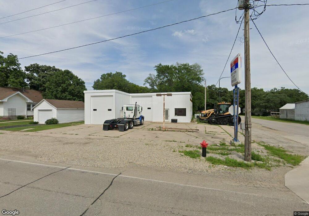
101 E Main St Fertile, IA 50434
--
Bed
--
Bath
2,088
Sq Ft
6,316
Sq Ft Lot
About This Home
This home is located at 101 E Main St, Fertile, IA 50434. 101 E Main St is a home located in Worth County with nearby schools including Forest City Elementary School, Forest City Middle School, and Forest City High School.
Ownership History
Date
Name
Owned For
Owner Type
Purchase Details
Closed on
Jan 23, 2024
Sold by
Sheriff Worth County
Bought by
Miller Josh
Purchase Details
Closed on
Feb 25, 2021
Sold by
Franks Daniel D and Franks Madalyn M
Bought by
Gonnerman Toni M
Home Financials for this Owner
Home Financials are based on the most recent Mortgage that was taken out on this home.
Original Mortgage
$20,000
Interest Rate
2.7%
Mortgage Type
New Conventional
Purchase Details
Closed on
Oct 17, 2008
Sold by
Thompson Henry and Thompson Christi
Bought by
Franks Daniel D
Create a Home Valuation Report for This Property
The Home Valuation Report is an in-depth analysis detailing your home's value as well as a comparison with similar homes in the area
Home Values in the Area
Average Home Value in this Area
Purchase History
| Date | Buyer | Sale Price | Title Company |
|---|---|---|---|
| Miller Josh | $36,439 | None Listed On Document | |
| Gonnerman Toni M | -- | None Listed On Document | |
| Franks Daniel D | $20,500 | None Available |
Source: Public Records
Mortgage History
| Date | Status | Borrower | Loan Amount |
|---|---|---|---|
| Previous Owner | Gonnerman Toni M | $20,000 |
Source: Public Records
Tax History Compared to Growth
Tax History
| Year | Tax Paid | Tax Assessment Tax Assessment Total Assessment is a certain percentage of the fair market value that is determined by local assessors to be the total taxable value of land and additions on the property. | Land | Improvement |
|---|---|---|---|---|
| 2025 | $622 | $45,672 | $8,690 | $36,982 |
| 2024 | $622 | $38,769 | $8,690 | $30,079 |
| 2023 | $998 | $38,769 | $8,690 | $30,079 |
| 2022 | $602 | $37,064 | $2,202 | $34,862 |
| 2021 | $414 | $37,064 | $2,202 | $34,862 |
| 2020 | $414 | $23,989 | $2,202 | $21,787 |
| 2019 | $1,397 | $23,989 | $2,202 | $21,787 |
| 2018 | $771 | $22,674 | $2,444 | $20,230 |
| 2017 | $408 | $22,674 | $2,444 | $20,230 |
| 2016 | $402 | $22,674 | $0 | $0 |
| 2015 | $402 | $20,975 | $0 | $0 |
| 2014 | $602 | $20,975 | $0 | $0 |
Source: Public Records
Map
Nearby Homes
- 101 Spring St
- 304 Main St
- 23838 -A Highway 9
- 108 Franke St
- 203 Keerl St
- 7138 275th Way
- 7021 275th Way
- 37231 210th Ave
- 23870 400th St
- 17661 Eagle Ave
- 1810 N 8th St
- 1501 Poplar St
- 1606 N 8th Place
- 1310 Village Rd Unit C-1
- 816 W 12th Ave N
- 1400 Blake Dr
- 2120 River Rd
- 413 W 12th Ave N
- 409 W 12th Ave N
- 405 W 12th Ave N