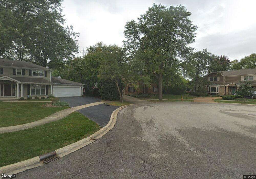
101 E Thompson Dr Wheaton, IL 60189
Southeast Wheaton NeighborhoodEstimated Value: $697,980 - $802,000
4
Beds
3
Baths
3,056
Sq Ft
$247/Sq Ft
Est. Value
About This Home
This home is located at 101 E Thompson Dr, Wheaton, IL 60189 and is currently estimated at $755,745, approximately $247 per square foot. 101 E Thompson Dr is a home located in DuPage County with nearby schools including Whittier Elementary School, Edison Middle School, and Wheaton Warrenville South High School.
Ownership History
Date
Name
Owned For
Owner Type
Purchase Details
Closed on
Nov 14, 2002
Sold by
Danner Donald P and Danner Susan H
Bought by
Cox Daniel R and Cox Tracy A
Current Estimated Value
Home Financials for this Owner
Home Financials are based on the most recent Mortgage that was taken out on this home.
Original Mortgage
$364,800
Outstanding Balance
$153,473
Interest Rate
6.08%
Estimated Equity
$602,272
Create a Home Valuation Report for This Property
The Home Valuation Report is an in-depth analysis detailing your home's value as well as a comparison with similar homes in the area
Home Values in the Area
Average Home Value in this Area
Purchase History
| Date | Buyer | Sale Price | Title Company |
|---|---|---|---|
| Cox Daniel R | $456,000 | Stewart Title Guaranty Compa |
Source: Public Records
Mortgage History
| Date | Status | Borrower | Loan Amount |
|---|---|---|---|
| Open | Cox Daniel R | $364,800 | |
| Closed | Cox Daniel R | $18,000 |
Source: Public Records
Tax History
| Year | Tax Paid | Tax Assessment Tax Assessment Total Assessment is a certain percentage of the fair market value that is determined by local assessors to be the total taxable value of land and additions on the property. | Land | Improvement |
|---|---|---|---|---|
| 2024 | $12,364 | $199,832 | $46,226 | $153,606 |
| 2023 | $11,890 | $183,940 | $42,550 | $141,390 |
| 2022 | $11,623 | $173,830 | $40,210 | $133,620 |
| 2021 | $11,587 | $169,710 | $39,260 | $130,450 |
| 2020 | $11,551 | $168,120 | $38,890 | $129,230 |
| 2019 | $11,288 | $163,680 | $37,860 | $125,820 |
| 2018 | $12,593 | $179,870 | $35,680 | $144,190 |
| 2017 | $12,411 | $173,230 | $34,360 | $138,870 |
| 2016 | $12,253 | $166,310 | $32,990 | $133,320 |
| 2015 | $12,167 | $158,660 | $31,470 | $127,190 |
| 2014 | $11,545 | $148,390 | $31,190 | $117,200 |
| 2013 | $11,247 | $148,830 | $31,280 | $117,550 |
Source: Public Records
Map
Nearby Homes
- 24 Winners Cup Cir Unit 3
- 76 Somerset Cir
- 141 Loretto Ct
- 570 Riva Ct
- 1219 Golf Ln
- 1028 Lodalia Ct
- 1021 Greenwood Dr
- 1180 Mount Vernon Ct Unit C
- 1135 Mount Vernon Ct Unit B
- 1120 Mount Vernon Ct Unit C
- 840 Sheldon Ct Unit B
- Lot 1 Foothill Dr
- 1026 Briarcliffe Blvd
- 1129 Rhodes Ct
- 715 S Naperville Rd
- 1110 S Gables Blvd
- 1601 W Wiesbrook Rd
- 536 W Evergreen St
- 520 S Wheaton Ave
- 522 S West St
- 99 E Thompson Dr
- 103 E Thompson Dr
- 1652 Raleigh Ct
- 1676 S Thompson Dr
- 105 E Thompson Dr
- 1651 Raleigh Ct
- 1640 Raleigh Ct
- 1682 S Thompson Dr
- 102 E Thompson Dr
- 107 E Thompson Dr
- 1679 S Thompson Dr
- 1654 Wadsworth Rd
- 108 E Thompson Dr
- 1688 S Thompson Dr
- 1685 S Thompson Dr
- 1641 Raleigh Ct
- 1644 Wadsworth Rd
- 120 Hunters Glen Dr
- 110 E Thompson Dr
- 110 Hunters Glen Dr
Your Personal Tour Guide
Ask me questions while you tour the home.