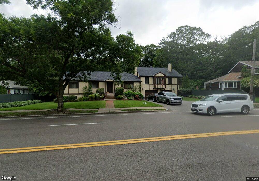
101 Grove St Chestnut Hill, MA 02467
South Brookline NeighborhoodEstimated Value: $1,929,000 - $2,389,000
4
Beds
3
Baths
2,328
Sq Ft
$900/Sq Ft
Est. Value
About This Home
This home is located at 101 Grove St, Chestnut Hill, MA 02467 and is currently estimated at $2,095,817, approximately $900 per square foot. 101 Grove St is a home located in Norfolk County with nearby schools including Baker School, Dexter School, and The Park School.
Ownership History
Date
Name
Owned For
Owner Type
Purchase Details
Closed on
Nov 19, 2024
Sold by
Kaplan Alan F
Bought by
Alan F Kaplan Ret and Kaplan
Current Estimated Value
Purchase Details
Closed on
Jun 8, 1990
Sold by
Brookline Co-Op Bk
Bought by
Kaplan Alan F
Purchase Details
Closed on
Apr 30, 1990
Sold by
Brookline Co-Op Bank
Bought by
Brookline Co-Op Bank
Create a Home Valuation Report for This Property
The Home Valuation Report is an in-depth analysis detailing your home's value as well as a comparison with similar homes in the area
Home Values in the Area
Average Home Value in this Area
Purchase History
| Date | Buyer | Sale Price | Title Company |
|---|---|---|---|
| Alan F Kaplan Ret | -- | None Available | |
| Alan F Kaplan Ret | -- | None Available | |
| Kaplan Alan F | $200,000 | -- | |
| Brookline Co-Op Bank | $185,000 | -- |
Source: Public Records
Mortgage History
| Date | Status | Borrower | Loan Amount |
|---|---|---|---|
| Previous Owner | Brookline Co-Op Bank | $250,000 | |
| Previous Owner | Brookline Co-Op Bank | $100,000 |
Source: Public Records
Tax History Compared to Growth
Tax History
| Year | Tax Paid | Tax Assessment Tax Assessment Total Assessment is a certain percentage of the fair market value that is determined by local assessors to be the total taxable value of land and additions on the property. | Land | Improvement |
|---|---|---|---|---|
| 2025 | $18,380 | $1,862,200 | $1,018,800 | $843,400 |
| 2024 | $17,848 | $1,826,800 | $979,600 | $847,200 |
| 2023 | $15,997 | $1,604,500 | $793,300 | $811,200 |
| 2022 | $15,572 | $1,528,200 | $755,600 | $772,600 |
| 2021 | $14,400 | $1,469,400 | $726,500 | $742,900 |
| 2020 | $13,159 | $1,392,500 | $660,500 | $732,000 |
| 2019 | $12,426 | $1,326,100 | $629,000 | $697,100 |
| 2018 | $12,669 | $1,339,200 | $610,300 | $728,900 |
| 2017 | $12,482 | $1,263,400 | $575,800 | $687,600 |
| 2016 | $12,019 | $1,153,500 | $538,100 | $615,400 |
| 2015 | $11,507 | $1,077,400 | $502,300 | $575,100 |
| 2014 | $11,584 | $1,017,000 | $459,700 | $557,300 |
Source: Public Records
Map
Nearby Homes
- 91 Grove St
- 50 Bellingham Rd
- 1125 W Roxbury Pkwy
- 173 South St
- 83 Payson Rd
- 72 Wallis Rd
- 206 Allandale Rd Unit 3C
- 10 Hackensack Terrace
- 232 Allandale Rd Unit 2D
- 214 Allandale Rd Unit B
- 382 Lee St
- 57 Broadlawn Park Unit 4B
- 138 Woodland Rd
- 44 Broadlawn Park Unit 22
- 21 Westgate Rd Unit 6
- 79 Goddard Ave
- 64 Bryon Rd Unit 1
- 42 Bryon Rd Unit 6
- 83 Whitcomb Ave
- 23 Westgate Rd Unit 6
- 107 Grove St
- 95 Grove St
- 115 Grove St
- 115 Grove St Unit 1
- 25 Bellingham Dr
- 28 Hallwood Rd
- 34 Hallwood Rd
- 22 Hallwood Rd
- 121 Grove St
- 85 Grove St
- 21 Bellingham Dr
- 45 Hallwood Rd
- 122 Grove St
- 18 Bellingham Dr
- 15 Bellingham Dr
- 100 Bellingham Rd
- 46 Hallwood Rd
- 90 Bellingham Rd
- 21 Hallwood Rd
- 18 Hallwood Rd