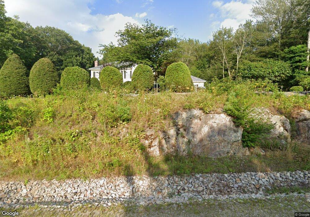
101 Hawk Dr Bedford, NH 03110
Bedford NeighborhoodEstimated Value: $879,871 - $1,033,000
4
Beds
3
Baths
3,026
Sq Ft
$316/Sq Ft
Est. Value
About This Home
This home is located at 101 Hawk Dr, Bedford, NH 03110 and is currently estimated at $954,968, approximately $315 per square foot. 101 Hawk Dr is a home located in Hillsborough County with nearby schools including Mckelvie Intermediate School, Ross A. Lurgio Middle School, and Bedford High School.
Ownership History
Date
Name
Owned For
Owner Type
Purchase Details
Closed on
Feb 16, 2022
Sold by
Froio Joseph M and Froio Leslie L
Bought by
Froio Ft 2022
Current Estimated Value
Purchase Details
Closed on
Jun 25, 2001
Sold by
Dampolo Robert S and Dampolo Shannon D
Bought by
Froio Joseph M and Froio Leslie L
Home Financials for this Owner
Home Financials are based on the most recent Mortgage that was taken out on this home.
Original Mortgage
$195,000
Interest Rate
7.09%
Create a Home Valuation Report for This Property
The Home Valuation Report is an in-depth analysis detailing your home's value as well as a comparison with similar homes in the area
Home Values in the Area
Average Home Value in this Area
Purchase History
| Date | Buyer | Sale Price | Title Company |
|---|---|---|---|
| Froio Ft 2022 | -- | None Available | |
| Froio Joseph M | $427,300 | -- |
Source: Public Records
Mortgage History
| Date | Status | Borrower | Loan Amount |
|---|---|---|---|
| Previous Owner | Froio Joseph M | $195,000 |
Source: Public Records
Tax History
| Year | Tax Paid | Tax Assessment Tax Assessment Total Assessment is a certain percentage of the fair market value that is determined by local assessors to be the total taxable value of land and additions on the property. | Land | Improvement |
|---|---|---|---|---|
| 2024 | $12,865 | $813,700 | $285,400 | $528,300 |
| 2023 | $12,043 | $813,700 | $285,400 | $528,300 |
| 2022 | $10,968 | $623,200 | $211,400 | $411,800 |
| 2021 | $10,682 | $623,200 | $211,400 | $411,800 |
| 2020 | $10,623 | $530,600 | $162,600 | $368,000 |
| 2019 | $10,055 | $530,600 | $162,600 | $368,000 |
| 2018 | $9,365 | $500,200 | $162,600 | $337,600 |
| 2017 | $9,562 | $500,200 | $162,600 | $337,600 |
| 2016 | $9,646 | $431,200 | $124,900 | $306,300 |
| 2015 | $9,814 | $431,200 | $124,900 | $306,300 |
| 2014 | $9,702 | $431,200 | $124,900 | $306,300 |
| 2013 | $9,560 | $431,200 | $124,900 | $306,300 |
Source: Public Records
Map
Nearby Homes
- 9 Cherry Ln
- 28 Olde Lantern Rd
- 99 Cambridge Rd
- 14 Jackson Square
- 129 Mountain Base Rd
- 4 Westview Rd Unit Lot 4 - Hannah Floor
- Lot 6 Aisling Ln Unit Lot 6 - The Silverto
- 3 Westview Rd Unit Lot 3 - The Saffron
- 144 Pulpit Rd
- 18 Sprague Mill Rd
- 258 N Amherst Rd Unit 34
- 301 N Amherst Rd
- 40 Tirrell Hill Rd
- 18 Holbrook Rd
- 21 Grand Ave Unit Lot 6
- 15 Grand Ave Unit Lot 3
- 17 Grand Ave
- 16 Angel Point Cir Unit A
- 17-4-28 Boiling Kettle Way
- 17-4-28 Boiling Kettle Way Unit 28