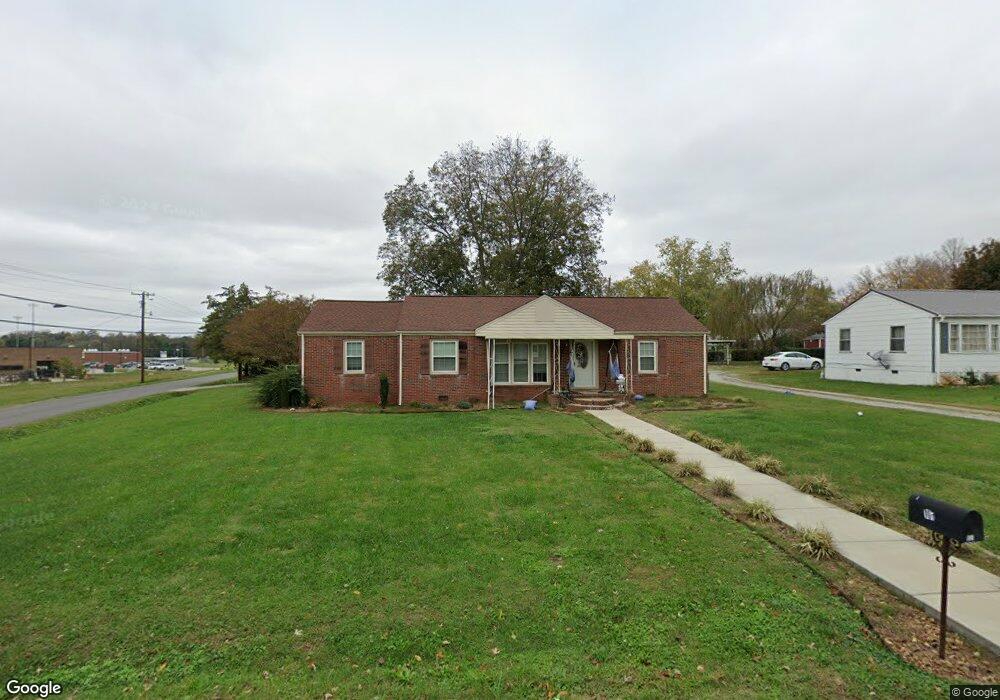
101 Highland Dr Winchester, TN 37398
Estimated Value: $159,845 - $224,000
--
Bed
1
Bath
1,480
Sq Ft
$133/Sq Ft
Est. Value
About This Home
This home is located at 101 Highland Dr, Winchester, TN 37398 and is currently estimated at $196,461, approximately $132 per square foot. 101 Highland Dr is a home located in Franklin County with nearby schools including North Middle School, Franklin County High School, and School of the Good Shepherd.
Ownership History
Date
Name
Owned For
Owner Type
Purchase Details
Closed on
Jun 22, 2018
Sold by
Hutson Larry David and Hutson Larry
Bought by
Solomon Amber L
Current Estimated Value
Home Financials for this Owner
Home Financials are based on the most recent Mortgage that was taken out on this home.
Original Mortgage
$81,000
Outstanding Balance
$70,051
Interest Rate
4.5%
Mortgage Type
New Conventional
Estimated Equity
$126,410
Purchase Details
Closed on
Apr 28, 1992
Bought by
Hutson Larry David and Hutso Sharon D
Purchase Details
Closed on
Aug 6, 1965
Bought by
Hutson Lawrence D and Hutson Mae
Create a Home Valuation Report for This Property
The Home Valuation Report is an in-depth analysis detailing your home's value as well as a comparison with similar homes in the area
Home Values in the Area
Average Home Value in this Area
Purchase History
| Date | Buyer | Sale Price | Title Company |
|---|---|---|---|
| Solomon Amber L | $81,000 | Access Title & Escrow Inc | |
| Hutson Larry David | $38,100 | -- | |
| Hutson Lawrence D | -- | -- |
Source: Public Records
Mortgage History
| Date | Status | Borrower | Loan Amount |
|---|---|---|---|
| Open | Solomon Amber L | $81,000 |
Source: Public Records
Tax History Compared to Growth
Tax History
| Year | Tax Paid | Tax Assessment Tax Assessment Total Assessment is a certain percentage of the fair market value that is determined by local assessors to be the total taxable value of land and additions on the property. | Land | Improvement |
|---|---|---|---|---|
| 2024 | $808 | $31,400 | $3,375 | $28,025 |
| 2023 | $808 | $31,400 | $3,375 | $28,025 |
| 2022 | $792 | $31,400 | $3,375 | $28,025 |
| 2021 | $442 | $31,400 | $3,375 | $28,025 |
| 2020 | $610 | $17,275 | $2,725 | $14,550 |
| 2019 | $610 | $17,275 | $2,725 | $14,550 |
| 2018 | $575 | $17,275 | $2,725 | $14,550 |
| 2017 | $575 | $17,275 | $2,725 | $14,550 |
| 2016 | $569 | $17,100 | $2,725 | $14,375 |
| 2015 | $559 | $17,100 | $2,725 | $14,375 |
| 2014 | $559 | $17,099 | $0 | $0 |
Source: Public Records
Map
Nearby Homes
- 120 Dogwood Ln
- 136 Bel Aire Dr
- 209 Franklin Park
- 0 Spring Hill Dr
- 103 Lisa Cir
- 108 Allen Dr
- 114 Allen Dr
- 1106 Old Cowan Rd
- 0 Sharp Springs Rd Unit RTC2980057
- 510 N Porter St
- 0 N Porter St
- 709 Hunt St
- 303 N Porter St
- 60 Sharp Cir
- 203 3rd Ave NE
- 201&203 3rd Ave NE
- 75 Summerset Dr
- 505 Kindel Dr
- 0 Old Cowan Rd Unit RTC2970796
- 211 S Porter St
- 103 Highland Dr
- 307 W Petty Ln
- 123 Highland Dr
- 301 W Petty Ln
- 100 Highland Dr
- 121 Highland Dr
- 105 Highland Dr
- 211 W Petty Ln
- 102 Highland Dr
- 209 W Petty Ln
- 119 Highland Dr
- 207 W Petty Ln Unit 205
- 207 W Petty Ln
- 207 W Petty Ln
- 104 Highland Dr
- 107 Highland Dr
- 117 Highland Dr
- 203 W Petty Ln
- 134 Highland Dr
- 106 Highland Dr