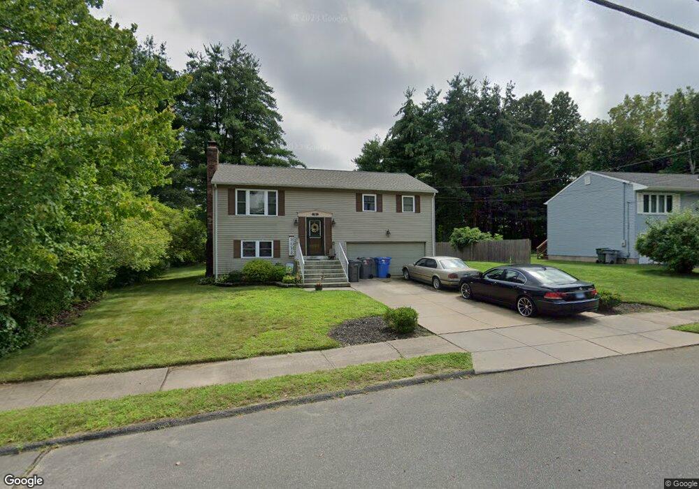
101 Marlene St Bristol, CT 06010
North Bristol NeighborhoodEstimated Value: $345,000 - $374,000
3
Beds
2
Baths
1,040
Sq Ft
$344/Sq Ft
Est. Value
About This Home
This home is located at 101 Marlene St, Bristol, CT 06010 and is currently estimated at $358,207, approximately $344 per square foot. 101 Marlene St is a home located in Hartford County with nearby schools including West Bristol Sch, Bristol Central High School, and St. Joseph School.
Ownership History
Date
Name
Owned For
Owner Type
Purchase Details
Closed on
Jun 17, 2010
Sold by
Sylvestre Raymond L
Bought by
Jacobs Melissa A
Current Estimated Value
Purchase Details
Closed on
Jul 6, 2004
Sold by
Kissel Marlene
Bought by
Sylvestre Raymond L and West Tammy
Create a Home Valuation Report for This Property
The Home Valuation Report is an in-depth analysis detailing your home's value as well as a comparison with similar homes in the area
Home Values in the Area
Average Home Value in this Area
Purchase History
| Date | Buyer | Sale Price | Title Company |
|---|---|---|---|
| Jacobs Melissa A | -- | -- | |
| Sylvestre Raymond L | $340,000 | -- |
Source: Public Records
Mortgage History
| Date | Status | Borrower | Loan Amount |
|---|---|---|---|
| Open | Sylvestre Raymond L | $158,000 | |
| Previous Owner | Sylvestre Raymond L | $50,700 |
Source: Public Records
Tax History Compared to Growth
Tax History
| Year | Tax Paid | Tax Assessment Tax Assessment Total Assessment is a certain percentage of the fair market value that is determined by local assessors to be the total taxable value of land and additions on the property. | Land | Improvement |
|---|---|---|---|---|
| 2025 | $6,275 | $185,920 | $46,830 | $139,090 |
| 2024 | $5,922 | $185,920 | $46,830 | $139,090 |
| 2023 | $5,643 | $185,920 | $46,830 | $139,090 |
| 2022 | $5,178 | $135,030 | $36,610 | $98,420 |
| 2021 | $5,178 | $135,030 | $36,610 | $98,420 |
| 2020 | $5,178 | $135,030 | $36,610 | $98,420 |
| 2019 | $5,138 | $135,030 | $36,610 | $98,420 |
| 2018 | $4,980 | $135,030 | $36,610 | $98,420 |
| 2017 | $4,893 | $135,800 | $49,770 | $86,030 |
| 2016 | $4,893 | $135,800 | $49,770 | $86,030 |
| 2015 | $4,700 | $135,800 | $49,770 | $86,030 |
| 2014 | $4,700 | $135,800 | $49,770 | $86,030 |
Source: Public Records
Map
Nearby Homes
- 48 Boivin St
- 36 Henderson St
- 112 Ambler Rd
- 88 N Pond St
- 351 Glendale Dr
- 15 Alder St
- 0 Hart St Unit 170255530
- 127 Curtiss St
- 62 (Lot 13-1) James P Casey Rd
- 454 Maple Ave
- 114 El Toro Dr
- 39 Williams St
- 0 Fairlawn St
- 41 Pardee St
- 58 Lincoln St
- 146 Perkins St
- 20 Lincoln St
- 65 Ingraham St
- 55 Haig Ave
- 439 James P Casey Rd