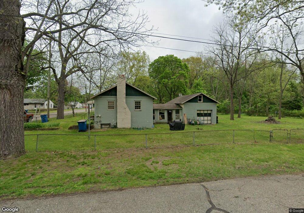
101 Mason Ave S Battle Creek, MI 49037
Urbandale NeighborhoodEstimated Value: $144,000 - $155,000
2
Beds
1
Bath
1,225
Sq Ft
$122/Sq Ft
Est. Value
About This Home
This home is located at 101 Mason Ave S, Battle Creek, MI 49037 and is currently estimated at $148,932, approximately $121 per square foot. 101 Mason Ave S is a home located in Calhoun County with nearby schools including LaMora Park School, Northwestern Middle School, and Battle Creek Central High School.
Ownership History
Date
Name
Owned For
Owner Type
Purchase Details
Closed on
Oct 30, 2023
Sold by
Quinn Deborah
Bought by
Johnson Gregory Lee and Johnson Cheryl Valerie
Current Estimated Value
Home Financials for this Owner
Home Financials are based on the most recent Mortgage that was taken out on this home.
Original Mortgage
$16,841
Outstanding Balance
$16,529
Interest Rate
7.18%
Mortgage Type
Seller Take Back
Estimated Equity
$132,403
Purchase Details
Closed on
Aug 16, 1996
Bought by
Quinn
Create a Home Valuation Report for This Property
The Home Valuation Report is an in-depth analysis detailing your home's value as well as a comparison with similar homes in the area
Home Values in the Area
Average Home Value in this Area
Purchase History
| Date | Buyer | Sale Price | Title Company |
|---|---|---|---|
| Johnson Gregory Lee | $32,000 | None Listed On Document | |
| Johnson Gregory Lee | $32,000 | None Listed On Document | |
| Quinn | $24,000 | -- |
Source: Public Records
Mortgage History
| Date | Status | Borrower | Loan Amount |
|---|---|---|---|
| Open | Johnson Gregory Lee | $16,841 | |
| Closed | Johnson Gregory Lee | $16,841 |
Source: Public Records
Tax History Compared to Growth
Tax History
| Year | Tax Paid | Tax Assessment Tax Assessment Total Assessment is a certain percentage of the fair market value that is determined by local assessors to be the total taxable value of land and additions on the property. | Land | Improvement |
|---|---|---|---|---|
| 2025 | -- | $68,200 | $0 | $0 |
| 2024 | $1,731 | $61,783 | $0 | $0 |
| 2023 | $1,975 | $50,759 | $0 | $0 |
| 2022 | $1,356 | $44,882 | $0 | $0 |
| 2021 | $1,655 | $41,988 | $0 | $0 |
| 2020 | $2,077 | $41,821 | $0 | $0 |
| 2019 | $2,749 | $40,320 | $0 | $0 |
| 2018 | $2,749 | $35,453 | $1,866 | $33,587 |
| 2017 | $2,325 | $31,423 | $0 | $0 |
| 2016 | $1,920 | $30,435 | $0 | $0 |
| 2015 | $1,287 | $29,753 | $5,568 | $24,185 |
| 2014 | $1,287 | $29,285 | $5,568 | $23,717 |
Source: Public Records
Map
Nearby Homes
- 1823 Michigan Ave W
- 53 Lamora Ave
- 35 Avery Ave
- 84 Lamora Ave
- 163 Spaulding Ave W
- 180 Woodlawn Ave N
- 112 Feld Ave
- 1528 Michigan Ave W
- 213 Broadway Blvd
- 232 Woodlawn Ave N
- 116 Geneva Ave
- 244 Woodlawn Ave N
- 641 John Bria Rd
- 144 Maxine Place
- 430 Presidential Dr
- 33 Shellenberger Ave
- 193 Ellis Rd
- 338 Cross St
- 420 Presidential Dr
- 133 Mosher Ave
- 101 Babcock Ave
- 100 Mason Ave S
- 93 Babcock Ave
- 97 Mason Ave S
- 100 Cedar Ave S
- 89 Babcock Ave
- 96 Mason Ave S
- 95 Mason Ave S
- 114 Mason Ave S
- 96 Cedar Ave S
- 94 Mason Ave S
- 92 Mason Ave S
- 92 Cedar Ave S
- 85 Babcock Ave
- 91 Mason Ave S
- 99 Cedar Ave S
- 90 Mason Ave S
- 88 Cedar Ave S
- 77 Babcock Ave
- 95 Cedar Ave S