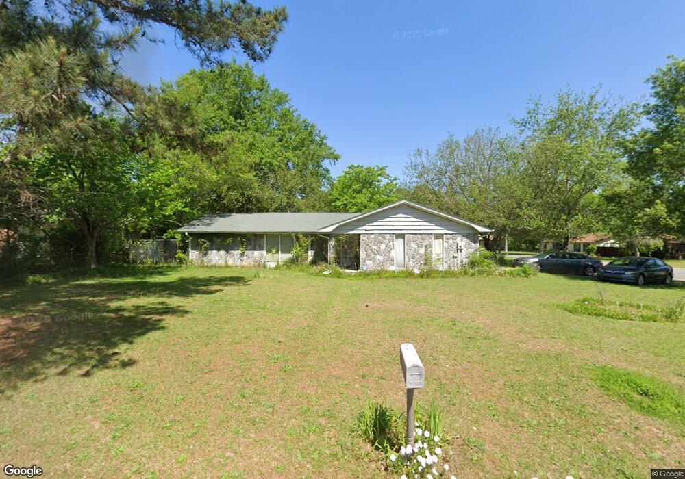
101 Mitchell Ct Warner Robins, GA 31093
Estimated Value: $192,494 - $202,000
3
Beds
2
Baths
1,788
Sq Ft
$111/Sq Ft
Est. Value
About This Home
This home is located at 101 Mitchell Ct, Warner Robins, GA 31093 and is currently estimated at $198,124, approximately $110 per square foot. 101 Mitchell Ct is a home located in Houston County with nearby schools including Northside Elementary School, Northside Middle School, and Northside High School.
Ownership History
Date
Name
Owned For
Owner Type
Purchase Details
Closed on
Jan 2, 2009
Sold by
Secretary Of Veterans Affairs
Bought by
Lawrence Suzanne M
Current Estimated Value
Home Financials for this Owner
Home Financials are based on the most recent Mortgage that was taken out on this home.
Original Mortgage
$78,464
Interest Rate
5.03%
Mortgage Type
FHA
Purchase Details
Closed on
Jan 2, 2008
Sold by
The Bank Of New York
Bought by
Secretary Of Veterans Affairs
Purchase Details
Closed on
Jul 30, 1998
Sold by
Zdrakas Winifred C
Bought by
Allen Joseph H
Purchase Details
Closed on
Mar 6, 1997
Sold by
Zdrakas Thomas and Zdrakas Winifred C
Bought by
Zdrakas Winifred C
Purchase Details
Closed on
Nov 9, 1984
Sold by
Johnson Donald E and Donna Gayle
Bought by
Zdrakas Thomas and Zdrakas Winifred C
Purchase Details
Closed on
Sep 10, 1976
Sold by
Paramount Builders Inc
Bought by
Johnson Donald E and Donna Gayle
Create a Home Valuation Report for This Property
The Home Valuation Report is an in-depth analysis detailing your home's value as well as a comparison with similar homes in the area
Home Values in the Area
Average Home Value in this Area
Purchase History
| Date | Buyer | Sale Price | Title Company |
|---|---|---|---|
| Lawrence Suzanne M | -- | None Available | |
| Lawrence Suzanne M | $79,500 | -- | |
| Secretary Of Veterans Affairs | $99,600 | -- | |
| Allen Joseph H | $89,500 | -- | |
| Zdrakas Winifred C | -- | -- | |
| Zdrakas Winifred C | -- | -- | |
| Zdrakas Thomas | -- | -- | |
| Johnson Donald E | $43,900 | -- |
Source: Public Records
Mortgage History
| Date | Status | Borrower | Loan Amount |
|---|---|---|---|
| Previous Owner | Lawrence Suzanne M | $78,464 |
Source: Public Records
Tax History
| Year | Tax Paid | Tax Assessment Tax Assessment Total Assessment is a certain percentage of the fair market value that is determined by local assessors to be the total taxable value of land and additions on the property. | Land | Improvement |
|---|---|---|---|---|
| 2025 | $1,764 | $60,560 | $8,000 | $52,560 |
| 2024 | $1,853 | $56,640 | $8,000 | $48,640 |
| 2023 | $1,486 | $45,080 | $8,000 | $37,080 |
| 2022 | $892 | $38,800 | $5,400 | $33,400 |
| 2021 | $828 | $35,800 | $5,400 | $30,400 |
| 2020 | $820 | $35,280 | $5,400 | $29,880 |
| 2019 | $820 | $35,280 | $5,400 | $29,880 |
| 2018 | $820 | $35,280 | $5,400 | $29,880 |
| 2017 | $820 | $35,280 | $5,400 | $29,880 |
| 2016 | $822 | $35,280 | $5,400 | $29,880 |
| 2015 | -- | $35,280 | $5,400 | $29,880 |
| 2014 | -- | $35,280 | $5,400 | $29,880 |
| 2013 | -- | $35,280 | $5,400 | $29,880 |
Source: Public Records
Map
Nearby Homes
- 105 Mitchell Ct
- 110 Mitchell Ct
- 94 Tiffany Ln
- 414 Forest Lake Dr
- 107 Onyx Ct
- 317 Emory Dr
- 501 Dunbar Rd
- 319 Air View Dr Unit 14
- 208 Pellimore Dr
- 305 Norman Ln
- 156 Martin Mill Trail
- 118 Avalon Dr
- 302 Kensington Cir
- 106 Scarborough Rd
- 145 Kensington Cir
- 112 Emory Dr
- 110 Eastlake Dr
- 116 Kensington Cir
- 105 Eagles Ridge
- 0 N Houston Rd Unit Northlake Dr.
- 103 Mitchell Ct
- 210 Wake Forest Dr
- 120 Haag Dr
- 115 Haag Dr
- 118 Haag Dr
- 102 Mitchell Ct
- 206 Wake Forest Dr
- 122 Haag Dr
- 104 Mitchell Ct
- 116 Haag Dr
- 107 Mitchell Ct
- 113 Haag Dr
- 106 Mithchell Ct
- 204 Wake Forest Dr
- 216 Wake Forest Dr
- 106 Mitchell Ct
- 209 Wake Forest Dr
- 107 Wendell Ct
- 203 Wake Forest Dr
- 205 Wake Forest Dr
Your Personal Tour Guide
Ask me questions while you tour the home.