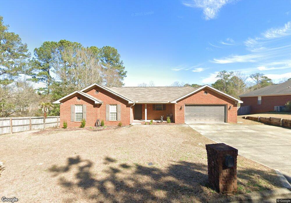
101 Mohegan Dr Enterprise, AL 36330
Estimated Value: $255,120 - $260,000
4
Beds
2
Baths
1,900
Sq Ft
$136/Sq Ft
Est. Value
About This Home
This home is located at 101 Mohegan Dr, Enterprise, AL 36330 and is currently estimated at $258,030, approximately $135 per square foot. 101 Mohegan Dr is a home located in Coffee County with nearby schools including Harrand Creek Elementary School, Dauphin Junior High School, and Enterprise High School.
Ownership History
Date
Name
Owned For
Owner Type
Purchase Details
Closed on
Mar 1, 2021
Sold by
Hammond Jason B and Hammond Jamie K
Bought by
Villarreal Patricia
Current Estimated Value
Home Financials for this Owner
Home Financials are based on the most recent Mortgage that was taken out on this home.
Original Mortgage
$206,164
Outstanding Balance
$184,811
Interest Rate
2.7%
Mortgage Type
VA
Estimated Equity
$73,219
Purchase Details
Closed on
Jan 21, 2014
Sold by
Darrell T Darrell T
Bought by
Hammond Jason B and Hammon Jamie K
Purchase Details
Closed on
Oct 31, 2008
Sold by
Norman Riley Construction Inc
Bought by
Hammond Jason B and Hammond Jamie K
Home Financials for this Owner
Home Financials are based on the most recent Mortgage that was taken out on this home.
Original Mortgage
$193,447
Interest Rate
6.08%
Create a Home Valuation Report for This Property
The Home Valuation Report is an in-depth analysis detailing your home's value as well as a comparison with similar homes in the area
Home Values in the Area
Average Home Value in this Area
Purchase History
| Date | Buyer | Sale Price | Title Company |
|---|---|---|---|
| Villarreal Patricia | $199,000 | None Available | |
| Hammond Jason B | -- | -- | |
| Hammond Jason B | -- | -- |
Source: Public Records
Mortgage History
| Date | Status | Borrower | Loan Amount |
|---|---|---|---|
| Open | Villarreal Patricia | $206,164 | |
| Previous Owner | Hammond Jason B | $193,447 |
Source: Public Records
Tax History Compared to Growth
Tax History
| Year | Tax Paid | Tax Assessment Tax Assessment Total Assessment is a certain percentage of the fair market value that is determined by local assessors to be the total taxable value of land and additions on the property. | Land | Improvement |
|---|---|---|---|---|
| 2024 | $1,010 | $23,620 | $2,858 | $20,762 |
| 2023 | $935 | $19,669 | $2,800 | $16,869 |
| 2022 | $839 | $19,680 | $0 | $0 |
| 2021 | $1,515 | $34,140 | $0 | $0 |
| 2020 | $1,480 | $33,340 | $0 | $0 |
| 2019 | $1,480 | $33,340 | $0 | $0 |
| 2018 | $1,561 | $35,200 | $0 | $0 |
| 2017 | $1,462 | $32,920 | $0 | $0 |
| 2016 | $1,486 | $33,480 | $0 | $0 |
| 2015 | $1,486 | $33,480 | $0 | $0 |
| 2014 | $730 | $17,180 | $0 | $0 |
| 2013 | -- | $0 | $0 | $0 |
Source: Public Records
Map
Nearby Homes
- 102 Mohegan Dr
- 101 Mohegan Dr
- 105 Comanche St
- 114 Iroquois Rd
- 109 Cahaba St
- 200 Lake Oliver Dr
- 702 Dixie Dr
- 000 Springdale Dr
- 604 Springdale Dr
- 0 E Lee St
- 202 Harrand Creek Dr
- 302 Robin Ln
- 413 Lake Oliver Dr
- 621 Boll Weevil Cir Unit 40
- 113 Wynn Rd
- 311 Antler Dr
- 103 Cleo Ct
- 110 Barbara Dr
- 413 Springdale Dr
- 410 Melbourne Dr
- 103 Mohegan Dr
- 405 Iroquois Rd
- 405 Iroquois Dr
- 100 Mohegan Dr
- 403 Iroquois Dr
- 403 Iroquois Rd
- 105 Mohegan Dr
- 501 Iroquois Dr
- 104 Mohegan Dr
- 501 Iroquois Rd
- 107 Mohegan Dr
- 404 Iroquois Rd
- 401 Iroquois Rd
- 106 Mohegan Dr
- 402 Iroquois Rd
- 406 Iroquois Dr
- 406 Iroquois Rd
- 103 Sioux St
- 108 Mohegan Dr
- 105 Sioux St