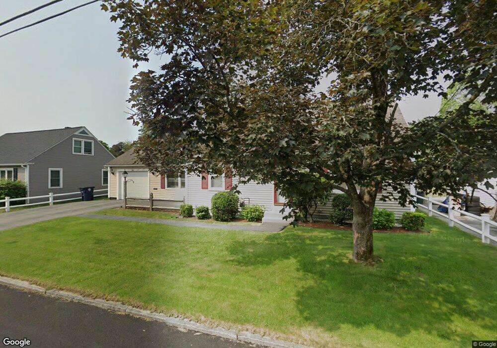
101 Monroe St Nashua, NH 03060
South End Nashua NeighborhoodEstimated Value: $480,000 - $534,000
3
Beds
1
Bath
1,490
Sq Ft
$334/Sq Ft
Est. Value
About This Home
This home is located at 101 Monroe St, Nashua, NH 03060 and is currently estimated at $498,156, approximately $334 per square foot. 101 Monroe St is a home located in Hillsborough County with nearby schools including Fairgrounds Elementary School, Fairgrounds Middle School, and Nashua High School South.
Ownership History
Date
Name
Owned For
Owner Type
Purchase Details
Closed on
Jul 11, 2012
Sold by
Barton Pierre A and Barton Michelle R
Bought by
Barton Ft and Barton
Current Estimated Value
Purchase Details
Closed on
Oct 17, 1985
Bought by
Barton Ft
Create a Home Valuation Report for This Property
The Home Valuation Report is an in-depth analysis detailing your home's value as well as a comparison with similar homes in the area
Home Values in the Area
Average Home Value in this Area
Purchase History
| Date | Buyer | Sale Price | Title Company |
|---|---|---|---|
| Barton Ft | -- | -- | |
| Barton Ft | -- | -- | |
| Barton Ft | $110,000 | -- |
Source: Public Records
Mortgage History
| Date | Status | Borrower | Loan Amount |
|---|---|---|---|
| Previous Owner | Barton Ft | $131,000 |
Source: Public Records
Tax History Compared to Growth
Tax History
| Year | Tax Paid | Tax Assessment Tax Assessment Total Assessment is a certain percentage of the fair market value that is determined by local assessors to be the total taxable value of land and additions on the property. | Land | Improvement |
|---|---|---|---|---|
| 2024 | $7,400 | $465,400 | $146,400 | $319,000 |
| 2023 | $6,951 | $381,300 | $117,100 | $264,200 |
| 2022 | $6,890 | $381,300 | $117,100 | $264,200 |
| 2021 | $6,016 | $259,100 | $78,100 | $181,000 |
| 2020 | $5,786 | $255,900 | $78,100 | $177,800 |
| 2019 | $5,568 | $255,900 | $78,100 | $177,800 |
| 2018 | $5,428 | $255,900 | $78,100 | $177,800 |
| 2017 | $4,508 | $174,800 | $67,200 | $107,600 |
| 2016 | $4,382 | $174,800 | $67,200 | $107,600 |
| 2015 | $4,288 | $174,800 | $67,200 | $107,600 |
| 2014 | $4,204 | $174,800 | $67,200 | $107,600 |
Source: Public Records
Map
Nearby Homes
- 97 Linwood St
- 63 Dexter St
- 22 Kern Dr
- 15 Lovell St Unit 3
- 15 Lovell St Unit 7
- 15 Lovell St Unit 10
- 11 Bordeaux St
- 22 New Dunstable Rd Unit 132133
- 169A W Hollis St Unit 193
- 22 Wilder St
- 4 Badger St
- 41 New Dunstable Rd Unit 371
- 6 Hayden St
- 15 Learned St Unit 123
- 17 Herrick St
- 8 Buck St Unit 10
- 29 Greenwood Dr
- 36 Eastman St Unit 26
- 30 Ledge St
- 1 Circle Ave
- 105 Monroe St Unit 128
- 97 Monroe St
- 50 Almont St Unit 129
- 44 Almont St Unit 125
- 100 Monroe St Unit 185
- 42 Almont St Unit 121
- 92 Monroe St Unit 94
- 93 Monroe St Unit 120
- 15 Cleveland St Unit 17
- 104 Monroe St
- 56 Almont St Unit 133
- 106 Monroe St Unit 179
- 43 Almont St Unit 25
- 15 Thorndike St Unit 116
- 99 Linwood St
- 49 Almont St Unit 27
- 41 Almont St
- 101 Linwood St Unit 182
- 40 Almont St Unit 117
- 53 Almont St