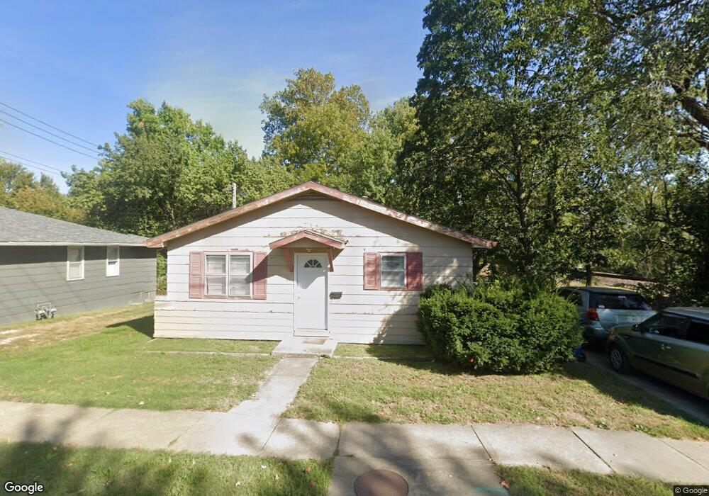
101 N Mitchell St Warrensburg, MO 64093
Estimated Value: $139,000 - $169,000
Studio
--
Bath
962
Sq Ft
$156/Sq Ft
Est. Value
About This Home
This home is located at 101 N Mitchell St, Warrensburg, MO 64093 and is currently estimated at $150,333, approximately $156 per square foot. 101 N Mitchell St is a home located in Johnson County with nearby schools including Ridge View Elementary School, Sterling Elementary School, and Warrensburg Middle School.
Ownership History
Date
Name
Owned For
Owner Type
Purchase Details
Closed on
Jun 1, 2006
Sold by
Conant Craig C and Conant Ramona F
Bought by
Buttram Justin T and Buttram Diane E
Current Estimated Value
Purchase Details
Closed on
Jun 1, 2005
Sold by
Phillips John and Phillips Angela
Bought by
Conant Cragi C and Conant Ramona F
Home Financials for this Owner
Home Financials are based on the most recent Mortgage that was taken out on this home.
Original Mortgage
$53,818
Interest Rate
5.83%
Mortgage Type
Future Advance Clause Open End Mortgage
Create a Home Valuation Report for This Property
The Home Valuation Report is an in-depth analysis detailing your home's value as well as a comparison with similar homes in the area
Home Values in the Area
Average Home Value in this Area
Purchase History
| Date | Buyer | Sale Price | Title Company |
|---|---|---|---|
| Buttram Justin T | -- | -- | |
| Conant Cragi C | -- | None Available |
Source: Public Records
Mortgage History
| Date | Status | Borrower | Loan Amount |
|---|---|---|---|
| Previous Owner | Conant Cragi C | $53,818 |
Source: Public Records
Tax History
| Year | Tax Paid | Tax Assessment Tax Assessment Total Assessment is a certain percentage of the fair market value that is determined by local assessors to be the total taxable value of land and additions on the property. | Land | Improvement |
|---|---|---|---|---|
| 2025 | $723 | $9,635 | $0 | $0 |
| 2024 | $678 | $8,878 | $0 | $0 |
| 2023 | $678 | $8,878 | $0 | $0 |
| 2022 | $654 | $8,527 | $0 | $0 |
| 2021 | $652 | $8,527 | $0 | $0 |
| 2020 | $632 | $8,177 | $0 | $0 |
| 2019 | $631 | $8,177 | $0 | $0 |
| 2017 | $630 | $8,177 | $0 | $0 |
| 2016 | $581 | $8,177 | $0 | $0 |
| 2015 | $596 | $8,177 | $0 | $0 |
| 2014 | -- | $8,177 | $0 | $0 |
Source: Public Records
Map
Nearby Homes
- 103 N Mitchell St
- 449 E Market St
- 701 A B C Broad St
- 432 E Market St
- 602 Grover St
- 513 Broad St
- 408 E Gay St
- 607 Christopher St
- 612 Christopher St
- 1008 Anderson St
- 300 9th St
- 713 Tyler Ave
- 912 Vest Dr
- 903 E Clark St
- 1007 Vest Dr
- 408 Creach Dr
- 704 Chaucer Ln
- 221 Broad St
- 411 10th Street Terrace
- 803 E Market St
- 502 E Market St
- 502 E Market St Unit ST 1/2
- 100 N Mitchell St
- 500 E Market St
- 458 E Market St
- 456 E Market St
- 103 S Mitchell St
- 705 E Culton St
- 454 E Market St
- 102 S Mitchell St
- 711 E Culton St
- 457 E Market St
- 448 E Market St
- 455 E Market St
- 201 S Mitchell St
- 446 E Market St
- 713 E Culton St
- 307 N Mitchell St
- 451 E Market St
- 704 E Culton St
Your Personal Tour Guide
Ask me questions while you tour the home.