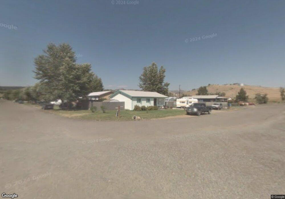
101 N Parsons St Boulder, MT 59632
Estimated Value: $295,000 - $337,000
4
Beds
2
Baths
1,908
Sq Ft
$168/Sq Ft
Est. Value
About This Home
This home is located at 101 N Parsons St, Boulder, MT 59632 and is currently estimated at $320,360, approximately $167 per square foot. 101 N Parsons St is a home located in Jefferson County with nearby schools including Jefferson High School.
Ownership History
Date
Name
Owned For
Owner Type
Purchase Details
Closed on
May 19, 2016
Sold by
U S Bank National Association
Bought by
Giulio Bruce Gordon
Current Estimated Value
Purchase Details
Closed on
Feb 27, 2009
Sold by
Hamilton Carolyn S and Hamilton Michael S
Bought by
Llewellyn Laura Leigh
Home Financials for this Owner
Home Financials are based on the most recent Mortgage that was taken out on this home.
Original Mortgage
$100,152
Interest Rate
4.91%
Mortgage Type
FHA
Create a Home Valuation Report for This Property
The Home Valuation Report is an in-depth analysis detailing your home's value as well as a comparison with similar homes in the area
Purchase History
| Date | Buyer | Sale Price | Title Company |
|---|---|---|---|
| Giulio Bruce Gordon | -- | None Available | |
| Llewellyn Laura Leigh | -- | Rocky Mountain Title & Insur |
Source: Public Records
Mortgage History
| Date | Status | Borrower | Loan Amount |
|---|---|---|---|
| Previous Owner | Llewellyn Laura Leigh | $100,152 |
Source: Public Records
Tax History Compared to Growth
Tax History
| Year | Tax Paid | Tax Assessment Tax Assessment Total Assessment is a certain percentage of the fair market value that is determined by local assessors to be the total taxable value of land and additions on the property. | Land | Improvement |
|---|---|---|---|---|
| 2025 | $1,695 | $277,200 | $0 | $0 |
| 2024 | $2,136 | $225,300 | $0 | $0 |
| 2023 | $2,112 | $225,300 | $0 | $0 |
| 2022 | $1,524 | $135,700 | $0 | $0 |
| 2021 | $1,433 | $135,700 | $0 | $0 |
| 2020 | $1,406 | $125,000 | $0 | $0 |
| 2019 | $1,429 | $129,300 | $0 | $0 |
| 2018 | $1,492 | $133,900 | $0 | $0 |
| 2017 | $1,453 | $133,900 | $0 | $0 |
| 2016 | $1,187 | $110,700 | $0 | $0 |
| 2015 | $1,151 | $110,700 | $0 | $0 |
| 2014 | $934 | $52,152 | $0 | $0 |
Source: Public Records
Map
Nearby Homes
- 109 N Jefferson St
- 218 S Madison St
- 114 N Washington St
- 306 S Adams St Unit 13
- 303 N Adams St
- 508 & 510 W 1st Ave
- 125 S Cleveland St
- 75 Foothill Rd
- TBD Lot16a -Idaho Lode
- 31 Rogers Ln
- 456 Boulder Frontage Rd
- TBD (12.7+/- acres) High Ore Rd
- TBD (12.7 +/- Acres High Ore Rd
- TBD (28.6 +/- Acres) High Ore Rd
- TBD (28.6+/- acres) High Ore Rd
- 0 Tbd High Ore Rd Unit 23845743
- 0 Tbd High Ore Rd Unit LotWP003
- 0 Tbd High Ore Rd Unit 23863048
- NHN Boulder Chief Rd
- 21 Platt Gulch Rd
- 405 E Centennial Ave
- 403 E Centennial Ave
- 401 E Centennial Ave
- 102 N Parsons St
- 402 E Centennial Ave
- 406 E 2nd Ave
- 507 E Centennial Ave
- 404 E 2nd Ave
- TBD E Centennial
- 100 N Elder St
- 407 E 3rd Ave
- 502 E 2nd Ave
- 300 E Centennial Ave
- 101 S Elder St
- 405 E 3rd Ave
- 501 E 2nd Ave
- 403 E 2nd Ave
- 316 E Centennial Ave
- 311 E 3rd Ave
- 311 E 2nd Ave