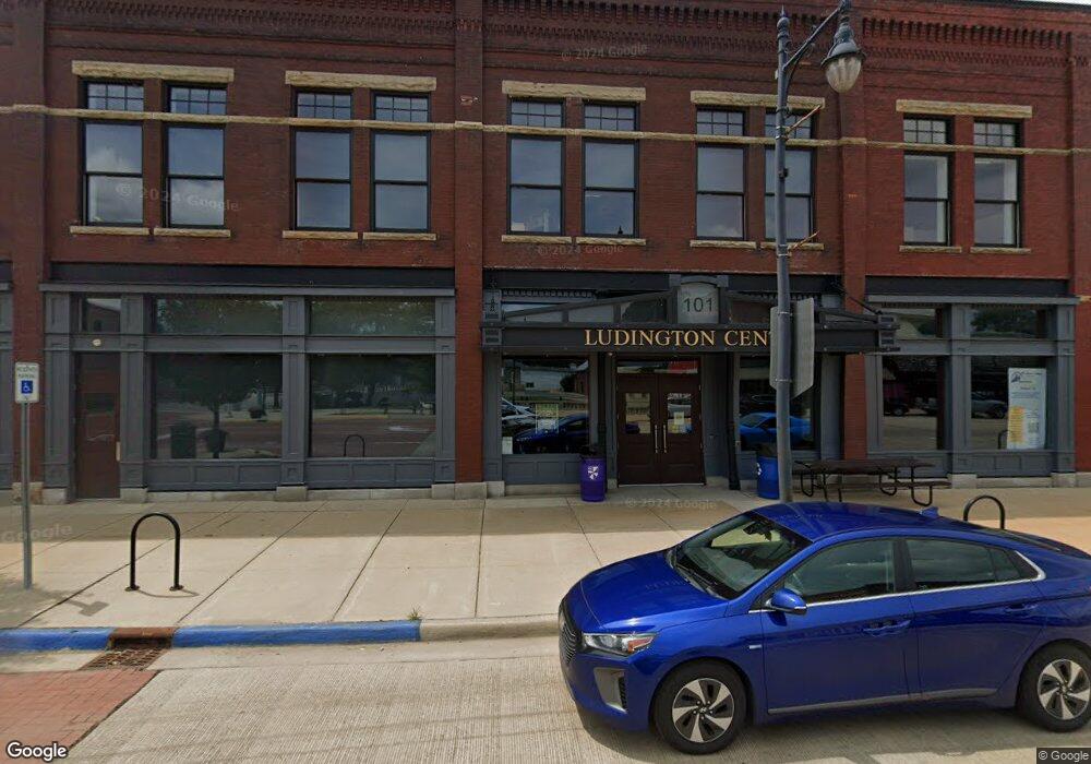
101 N Superior St Albion, MI 49224
Estimated Value: $81,953
--
Bed
--
Bath
2,822
Sq Ft
$29/Sq Ft
Est. Value
About This Home
This home is located at 101 N Superior St, Albion, MI 49224 and is currently estimated at $81,953, approximately $29 per square foot. 101 N Superior St is a home located in Calhoun County with nearby schools including Harrington Elementary School, St. John School, and Montcalm School.
Ownership History
Date
Name
Owned For
Owner Type
Purchase Details
Closed on
Dec 22, 2016
Sold by
Calhoun County Land Bank Authority
Bought by
Albion Reinvestment Corporation Arc
Current Estimated Value
Purchase Details
Closed on
Jan 31, 2014
Sold by
Proactis Development Strategies
Bought by
Calhoun County Land Bank Authority
Purchase Details
Closed on
Jan 16, 2013
Sold by
Plassman Family Properties Llc
Bought by
Proactis Development Strategies
Purchase Details
Closed on
May 9, 2012
Sold by
Williamson Daniel
Bought by
Plassman Family Properties Llc
Purchase Details
Closed on
Apr 13, 2007
Sold by
Williamson Shirley M and Williamson Herbert J
Bought by
Williamson Daniel
Purchase Details
Closed on
Feb 26, 1993
Bought by
Williamson Shirley
Create a Home Valuation Report for This Property
The Home Valuation Report is an in-depth analysis detailing your home's value as well as a comparison with similar homes in the area
Home Values in the Area
Average Home Value in this Area
Purchase History
| Date | Buyer | Sale Price | Title Company |
|---|---|---|---|
| Albion Reinvestment Corporation Arc | -- | None Available | |
| Calhoun County Land Bank Authority | -- | None Available | |
| Proactis Development Strategies | $30,000 | None Available | |
| Plassman Family Properties Llc | $25,000 | None Available | |
| Williamson Daniel | -- | None Available | |
| Williamson Shirley | $7,500 | -- |
Source: Public Records
Tax History Compared to Growth
Tax History
| Year | Tax Paid | Tax Assessment Tax Assessment Total Assessment is a certain percentage of the fair market value that is determined by local assessors to be the total taxable value of land and additions on the property. | Land | Improvement |
|---|---|---|---|---|
| 2025 | $107 | $4,800 | $0 | $0 |
| 2024 | $52 | $4,800 | $0 | $0 |
| 2023 | $12,049 | $5,900 | $0 | $0 |
| 2022 | $6,217 | $187,800 | $0 | $0 |
| 2021 | $11,606 | $187,800 | $0 | $0 |
| 2020 | $2,651 | $39,700 | $0 | $0 |
| 2019 | $0 | $0 | $0 | $0 |
| 2018 | $0 | $34,300 | $1,200 | $33,100 |
| 2017 | -- | $6,650 | $0 | $0 |
| 2016 | -- | $6,650 | $0 | $0 |
| 2015 | -- | $6,650 | $6,650 | $0 |
| 2014 | -- | $6,650 | $6,650 | $0 |
Source: Public Records
Map
Nearby Homes
- 214 W Porter St
- 404 N Superior St
- 208 W Erie St
- 116 W Vine St
- 112 E Mulberry St
- 116 E Mulberry St
- 211 W Erie St
- 211 E Mulberry St
- 408 Washington St
- 117 E Walnut St
- 211 S Ann St
- 217 S Ann St
- 501 W Cass St
- 405 W Chestnut St
- 208 E Oak St
- 806 S Eaton St
- 508 Linden Ave
- 711 N Eaton St
- 612 N Ann St
- 614 N Ann St
- 111 N Superior St
- 106 S Superior St
- 115 N Superior St
- 104 S Superior St
- 119 N Superior St
- 118 N Superior St Unit 202 N Superior
- 118 N Superior St Unit 202 N
- 117 N Superior St
- 129 N Superior St
- 204 S Superior St
- 131 N Superior St
- 215 S Superior St
- 200 S Superior St
- V/L Mercury Dr
- 118 E Michigan Ave
- 26740 W Michigan Ave
- 200 N Clinton St
- 200 W Center St
- 300 S Superior St
- 309 E Cass St