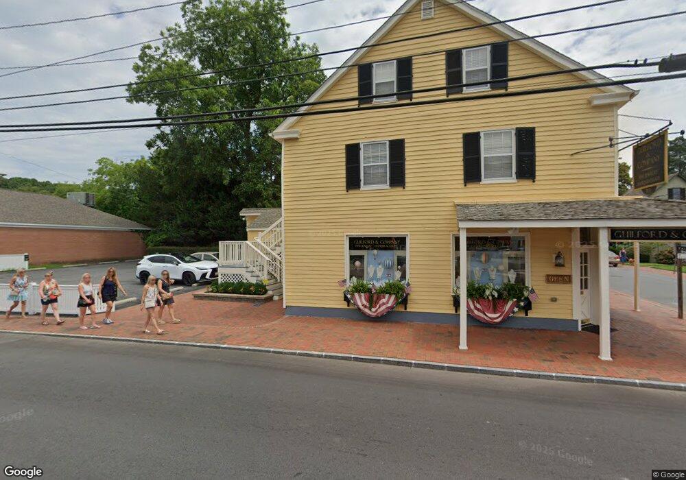
101 N Talbot St Saint Michaels, MD 21663
Estimated Value: $964,659
--
Bed
--
Bath
3,315
Sq Ft
$291/Sq Ft
Est. Value
About This Home
This home is located at 101 N Talbot St, Saint Michaels, MD 21663 and is currently estimated at $964,659, approximately $290 per square foot. 101 N Talbot St is a home located in Talbot County with nearby schools including St. Michaels Elementary School, St. Michaels Middle/High School, and Easton High School.
Ownership History
Date
Name
Owned For
Owner Type
Purchase Details
Closed on
Jul 20, 2017
Sold by
Michael T Morgan & Associates Lllp
Bought by
Michael T Morgan & Associates Llc and Michael T Morgan & Associates Lllp
Current Estimated Value
Purchase Details
Closed on
Oct 26, 2012
Sold by
Proserpi Penelope P
Bought by
101 Talbot St Llc
Purchase Details
Closed on
May 5, 1990
Sold by
Mohlman Theodore A
Bought by
Nabob-Co
Create a Home Valuation Report for This Property
The Home Valuation Report is an in-depth analysis detailing your home's value as well as a comparison with similar homes in the area
Home Values in the Area
Average Home Value in this Area
Purchase History
| Date | Buyer | Sale Price | Title Company |
|---|---|---|---|
| Michael T Morgan & Associates Llc | -- | None Available | |
| 101 Talbot St Llc | $505,000 | Venture Title Company | |
| Nabob-Co | $250,000 | -- |
Source: Public Records
Tax History Compared to Growth
Tax History
| Year | Tax Paid | Tax Assessment Tax Assessment Total Assessment is a certain percentage of the fair market value that is determined by local assessors to be the total taxable value of land and additions on the property. | Land | Improvement |
|---|---|---|---|---|
| 2025 | $11,604 | $1,007,300 | $759,000 | $248,300 |
| 2024 | $11,604 | $939,833 | $0 | $0 |
| 2023 | $10,361 | $872,367 | $0 | $0 |
| 2022 | $9,229 | $804,900 | $659,000 | $145,900 |
| 2021 | $8,999 | $798,567 | $0 | $0 |
| 2020 | $8,999 | $792,233 | $0 | $0 |
| 2019 | $8,927 | $785,900 | $659,000 | $126,900 |
| 2018 | $8,747 | $784,433 | $0 | $0 |
| 2017 | $8,454 | $782,967 | $0 | $0 |
| 2016 | $7,066 | $781,500 | $0 | $0 |
| 2015 | $8,088 | $734,167 | $0 | $0 |
| 2014 | $8,088 | $686,833 | $0 | $0 |
Source: Public Records
Map
Nearby Homes
- 102 Gloria Ave
- 408 Spinnaker Ln
- 207 Dodson Ave
- 100 Grace St
- 209 Webb Ln
- 107 E Chestnut St
- 300 Perry St
- 25500 Chance Farm Rd
- 222 E Chestnut St
- 0 Grace St Unit MDTA2012346
- 216 Brooks Ln
- 216 E Chew Ave
- 704 Meadow St
- Lot 16A Meadow St
- 105 Seymour Ave
- 807 Radcliff Ave
- 912 Calvert Ave
- 228 Tyler Ave
- 9171 Deepwater Point Rd
- 24390 Oakwood Park Rd
- 103 Cherry St
- 106 Railroad Ave
- 101 S Talbot St
- 100 Cherry St
- 103 S Talbot St
- 105 N Talbot St
- 106 N Talbot St
- 102 S Talbot St
- 104 N Talbot St
- 105 Cherry St
- 102 Cherry St
- 107 S Talbot St Unit FIRST FLOOR
- 107 S Talbot St
- 105 S Talbot St
- 205 S Talbot St
- 104 Cherry St
- 0 Talbot St N Unit MDTA138216
- 106 Cherry St
- 203 N Talbot St
- 201 Cherry St