Estimated Value: $224,000 - $274,000
2
Beds
1
Bath
814
Sq Ft
$308/Sq Ft
Est. Value
About This Home
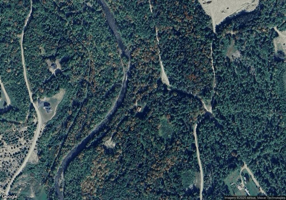
This home is located at 101 Nash Stream Rd, Stark, NH 03582 and is currently estimated at $250,956, approximately $308 per square foot. 101 Nash Stream Rd is a home located in Coos County.
Ownership History
Date
Name
Owned For
Owner Type
Purchase Details
Closed on
Apr 16, 2021
Sold by
Nichols Michael and Nichols Kathryn
Bought by
Shine Christopher and Shine Jennifer
Current Estimated Value
Home Financials for this Owner
Home Financials are based on the most recent Mortgage that was taken out on this home.
Original Mortgage
$140,000
Outstanding Balance
$125,410
Interest Rate
3.05%
Mortgage Type
Purchase Money Mortgage
Estimated Equity
$125,546
Create a Home Valuation Report for This Property
The Home Valuation Report is an in-depth analysis detailing your home's value as well as a comparison with similar homes in the area
Purchase History
| Date | Buyer | Sale Price | Title Company |
|---|---|---|---|
| Shine Christopher | $175,000 | None Available |
Source: Public Records
Mortgage History
| Date | Status | Borrower | Loan Amount |
|---|---|---|---|
| Open | Shine Christopher | $140,000 |
Source: Public Records
Tax History
| Year | Tax Paid | Tax Assessment Tax Assessment Total Assessment is a certain percentage of the fair market value that is determined by local assessors to be the total taxable value of land and additions on the property. | Land | Improvement |
|---|---|---|---|---|
| 2024 | $2,215 | $204,000 | $71,800 | $132,200 |
| 2023 | $1,819 | $87,800 | $33,400 | $54,400 |
| 2022 | $1,436 | $87,800 | $33,400 | $54,400 |
| 2021 | $1,749 | $87,800 | $33,400 | $54,400 |
| 2020 | $1,580 | $87,800 | $33,400 | $54,400 |
| 2019 | $1,587 | $87,800 | $33,400 | $54,400 |
| 2018 | $1,487 | $82,800 | $24,300 | $58,500 |
| 2017 | $1,506 | $82,800 | $24,300 | $58,500 |
| 2016 | $1,442 | $82,800 | $24,300 | $58,500 |
| 2015 | $1,408 | $82,800 | $24,300 | $58,500 |
| 2014 | $1,447 | $82,800 | $24,300 | $58,500 |
| 2013 | $1,582 | $90,500 | $26,600 | $63,900 |
Source: Public Records
Map
Nearby Homes
- 406 New Hampshire 110
- 238 Northside Rd
- 13 Hillside Ave
- 41 Crow Hill St
- 388 Percy Rd
- 338 Percy Rd
- 0 Town Line Rd Unit 1 and 33 4953131
- 14 Odell Park
- 27 West St
- 114 US Route 3
- 147 U S 3
- 441 Bog Rd
- 75 Walther Way
- 00 Bog Rd Unit 31
- 370 Percy Rd
- 43 Holbrook Hill Rd
- 0 Egan Rd Unit 220000
- 0 Bell Hill Rd Unit 29.22
- 24 Pine Rd
- 0 Mountain View Rd
- 105 Nash Stream Rd
- 57 Nash Stream Rd
- 112 Log Hollow Rd
- 0 Amos Emery Rd Unit 4506992
- 0 Amos Emery Rd Unit 4675404
- 47 Nash Stream Rd Unit 16
- 118 Log Hollow Rd
- 156 Nash Stream Rd
- 0 Log Hollow Rd Unit 4788201
- 33 Nash Stream Rd
- 176 Cloutier Dr
- 3 Peaks Dr
- 39 Peaks Dr
- 104 Log Hollow Rd
- 1 Nash Stream Rd
- 209 Cloutier Dr
- 244 Cloutier Dr
- 258 Cloutier Dr
- 96 Log Hollow Rd
- 217 Cloutier Dr
