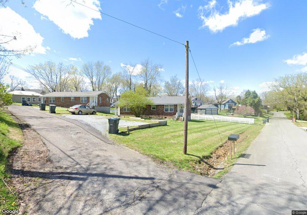
101 Nesbitt St Dickson, TN 37055
Estimated Value: $191,000 - $234,000
Studio
2
Baths
1,157
Sq Ft
$182/Sq Ft
Est. Value
About This Home
This home is located at 101 Nesbitt St, Dickson, TN 37055 and is currently estimated at $210,452, approximately $181 per square foot. 101 Nesbitt St is a home located in Dickson County with nearby schools including Centennial Elementary School, Dickson Middle School, and Dickson County High School.
Ownership History
Date
Name
Owned For
Owner Type
Purchase Details
Closed on
Nov 20, 2025
Sold by
Brown Brent Fielder and Brown Tracie Goodman
Bought by
Brown Tennessee Community Property Trust and Brown
Current Estimated Value
Purchase Details
Closed on
Jul 17, 1998
Sold by
Tucker Jackie Lee
Bought by
Tucker Jack L
Purchase Details
Closed on
Aug 21, 1991
Bought by
Tucker Jackie Lee
Purchase Details
Closed on
Sep 30, 1986
Bought by
Tucker Jackie L
Purchase Details
Closed on
Jan 1, 1983
Purchase Details
Closed on
Jan 1, 1977
Create a Home Valuation Report for This Property
The Home Valuation Report is an in-depth analysis detailing your home's value as well as a comparison with similar homes in the area
Home Values in the Area
Average Home Value in this Area
Purchase History
| Date | Buyer | Sale Price | Title Company |
|---|---|---|---|
| Brown Tennessee Community Property Trust | -- | None Listed On Document | |
| Tucker Jack L | -- | -- | |
| Tucker Jackie Lee | -- | -- | |
| Tucker Jackie L | -- | -- | |
| -- | $46,500 | -- | |
| -- | $67,000 | -- | |
| -- | $57,500 | -- |
Source: Public Records
Tax History
| Year | Tax Paid | Tax Assessment Tax Assessment Total Assessment is a certain percentage of the fair market value that is determined by local assessors to be the total taxable value of land and additions on the property. | Land | Improvement |
|---|---|---|---|---|
| 2025 | -- | $54,480 | $9,640 | $44,840 |
| 2024 | -- | $54,480 | $9,640 | $44,840 |
| 2023 | $1,303 | $41,720 | $11,000 | $30,720 |
| 2022 | $1,303 | $41,720 | $11,000 | $30,720 |
| 2021 | $1,303 | $41,720 | $11,000 | $30,720 |
| 2020 | $1,303 | $41,720 | $11,000 | $30,720 |
| 2019 | $1,303 | $41,720 | $11,000 | $30,720 |
| 2018 | $1,204 | $33,000 | $11,000 | $22,000 |
| 2017 | $1,204 | $33,000 | $11,000 | $22,000 |
| 2016 | $1,204 | $33,000 | $11,000 | $22,000 |
| 2015 | $1,280 | $33,000 | $11,000 | $22,000 |
| 2014 | $1,280 | $33,000 | $11,000 | $22,000 |
Source: Public Records
Map
Nearby Homes
- 110 Mccreary Heights
- 414 W College St
- 0 Truform Way Unit RTC3139035
- 202 W College St Unit 4
- 402 W Railroad St
- 300 W Railroad St
- 108 Aries Aly
- 220 Darlington Dr
- 222 Darlington Dr
- 224 Darlington Dr
- 218 Darlington Dr
- 103 Freeman Ave
- 701 W 5th St
- 501 W Chestnut St
- 104 W Chestnut St
- 806 Dotson Aly
- 412 E Rickert Ave
- 402 S Mulberry St
- 0 Country Club Dr Unit 26
- 0 Henslee Dr Spring St Unit RTC3128657
- 103 Nesbitt St
- 405 Murrell St
- 407 Murrell St
- 112 Mccreary Heights
- 102 Nesbitt St
- 201 Mccreary Heights
- 409 Murrell St
- 401 Murrell St
- 106D Nesbitt St Unit 106C
- 207 Mccreary Heights
- 411 Murrell St
- 404 Murrell St
- 406 Murrell St
- 311 Murrell St
- 104 Nesbitt St Unit 104A
- 402 Murrell St
- 200 Mccreary Heights
- 408 Murrell St
- 113 Mccreary Heights
- 111 Mccreary Heights
Your Personal Tour Guide
Ask me questions while you tour the home.