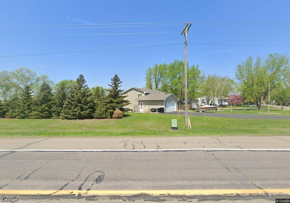
101 Norwood Dr Big Lake, MN 55309
Estimated Value: $267,000 - $325,000
2
Beds
2
Baths
984
Sq Ft
$307/Sq Ft
Est. Value
About This Home
This home is located at 101 Norwood Dr, Big Lake, MN 55309 and is currently estimated at $301,651, approximately $306 per square foot. 101 Norwood Dr is a home located in Sherburne County with nearby schools including Liberty Elementary School, Independence Elementary School, and Big Lake Middle School.
Ownership History
Date
Name
Owned For
Owner Type
Purchase Details
Closed on
Jan 4, 2021
Sold by
Grussing Jeffrey A and Grussing Christine E
Bought by
Grussing Jeffrey A and Grussing Christine E
Current Estimated Value
Home Financials for this Owner
Home Financials are based on the most recent Mortgage that was taken out on this home.
Original Mortgage
$116,000
Outstanding Balance
$103,512
Interest Rate
2.7%
Mortgage Type
New Conventional
Estimated Equity
$198,139
Purchase Details
Closed on
May 8, 2013
Sold by
Grussing Jeffrey A and Grussing Jeffrey Alan
Bought by
Grussing Jeffrey A
Home Financials for this Owner
Home Financials are based on the most recent Mortgage that was taken out on this home.
Original Mortgage
$130,750
Interest Rate
3.38%
Mortgage Type
New Conventional
Create a Home Valuation Report for This Property
The Home Valuation Report is an in-depth analysis detailing your home's value as well as a comparison with similar homes in the area
Home Values in the Area
Average Home Value in this Area
Purchase History
| Date | Buyer | Sale Price | Title Company |
|---|---|---|---|
| Grussing Jeffrey A | -- | Home Security Abstract & Tit | |
| Grussing Jeffrey A | -- | First American Title Ins Co |
Source: Public Records
Mortgage History
| Date | Status | Borrower | Loan Amount |
|---|---|---|---|
| Open | Grussing Jeffrey A | $116,000 | |
| Previous Owner | Grussing Jeffrey A | $130,750 |
Source: Public Records
Tax History Compared to Growth
Tax History
| Year | Tax Paid | Tax Assessment Tax Assessment Total Assessment is a certain percentage of the fair market value that is determined by local assessors to be the total taxable value of land and additions on the property. | Land | Improvement |
|---|---|---|---|---|
| 2025 | $4,790 | $309,900 | $111,100 | $198,800 |
| 2024 | $4,638 | $308,200 | $111,100 | $197,100 |
| 2023 | $3,422 | $293,000 | $95,500 | $197,500 |
| 2022 | $2,892 | $280,400 | $80,700 | $199,700 |
| 2020 | $2,592 | $197,300 | $47,700 | $149,600 |
| 2019 | $2,402 | $181,800 | $43,300 | $138,500 |
| 2018 | $2,224 | $168,500 | $39,700 | $128,800 |
| 2017 | $2,100 | $152,700 | $36,100 | $116,600 |
| 2016 | $1,986 | $141,400 | $32,600 | $108,800 |
| 2015 | $1,996 | $111,100 | $26,600 | $84,500 |
| 2014 | $1,856 | $118,300 | $23,800 | $94,500 |
| 2013 | -- | $104,500 | $22,900 | $81,600 |
Source: Public Records
Map
Nearby Homes
- 637 Norwood Ln
- 874 Independence Dr NW
- TBD Highway 10 NW
- 19101 Gunter Way
- 241 Leighton Dr
- 541 William St
- 491 Highland Ave
- 19400 Karen Ln
- 20050 County Road 81 NW
- 679 Lakeshore Dr
- 240 Wyoming Ave
- 23xxx 182nd St NW
- 20311 Gordon Ln
- 100 Park Ave
- 20467 Gordon Ln
- TBD Manitou St
- 585 Glenwood Ave
- 20189 Esther Pkwy
- 3300 Lake View Ln
- 110 Powell Cir E
- 111 Norwood Dr
- 121 Norwood Dr
- 19200 Highway 25
- 19200 19200 State Hwy 25 NW
- 131 Norwood Dr
- 782 Independence Dr NW
- 774 Independence Dr NW
- 770 Independence Dr NW
- 766 Independence Dr NW
- 762 Independence Dr NW
- 786 Independence Dr NW
- 758 Independence Dr NW
- 790 Independence Dr NW
- 754 Independence Dr NW
- 794 Independence Dr NW
- 746 Independence Dr NW
- 141 Norwood Dr
- 798 Independence Dr NW
- 742 Independence Dr NW
- 738 Independence Dr NW