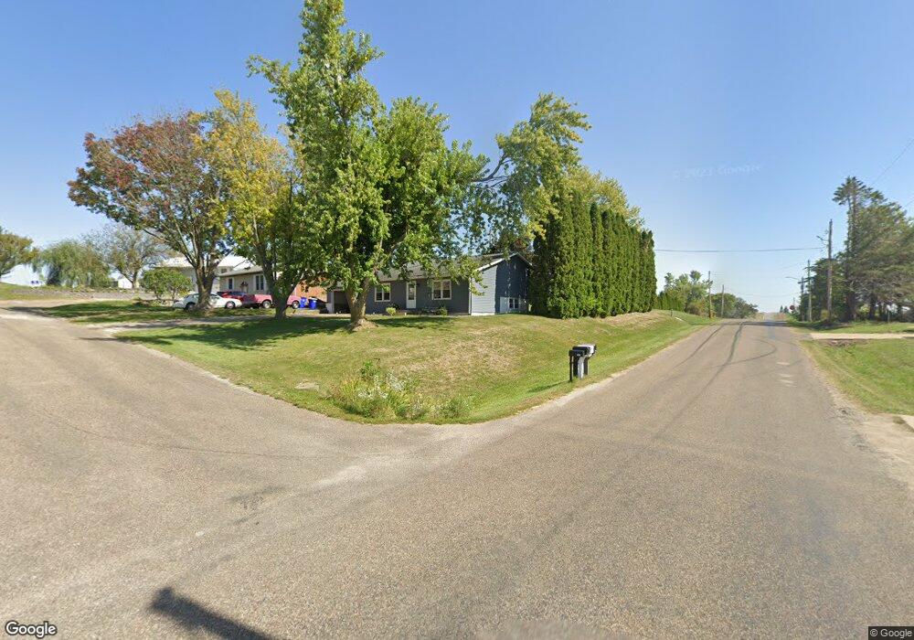
101 Patricia Ct NE Shellsburg, IA 52332
Estimated Value: $179,000 - $245,000
3
Beds
1
Bath
1,036
Sq Ft
$192/Sq Ft
Est. Value
About This Home
This home is located at 101 Patricia Ct NE, Shellsburg, IA 52332 and is currently estimated at $198,559, approximately $191 per square foot. 101 Patricia Ct NE is a home located in Benton County with nearby schools including Shellsburg Elementary School, Vinton-Shellsburg Middle School, and Vinton-Shellsburg High School.
Ownership History
Date
Name
Owned For
Owner Type
Purchase Details
Closed on
Apr 10, 2023
Sold by
Mahr Linda C
Bought by
Crandall Alexander W
Current Estimated Value
Home Financials for this Owner
Home Financials are based on the most recent Mortgage that was taken out on this home.
Original Mortgage
$164,900
Outstanding Balance
$160,425
Interest Rate
6.73%
Mortgage Type
New Conventional
Estimated Equity
$38,134
Create a Home Valuation Report for This Property
The Home Valuation Report is an in-depth analysis detailing your home's value as well as a comparison with similar homes in the area
Purchase History
| Date | Buyer | Sale Price | Title Company |
|---|---|---|---|
| Crandall Alexander W | $170,000 | None Listed On Document |
Source: Public Records
Mortgage History
| Date | Status | Borrower | Loan Amount |
|---|---|---|---|
| Open | Crandall Alexander W | $164,900 |
Source: Public Records
Tax History
| Year | Tax Paid | Tax Assessment Tax Assessment Total Assessment is a certain percentage of the fair market value that is determined by local assessors to be the total taxable value of land and additions on the property. | Land | Improvement |
|---|---|---|---|---|
| 2025 | $2,728 | $167,100 | $21,900 | $145,200 |
| 2024 | $2,728 | $155,600 | $22,100 | $133,500 |
| 2023 | $2,376 | $155,600 | $22,100 | $133,500 |
| 2022 | $2,346 | $128,400 | $17,700 | $110,700 |
| 2021 | $2,346 | $128,400 | $17,700 | $110,700 |
| 2020 | $1,818 | $100,300 | $16,300 | $84,000 |
| 2019 | $1,770 | $100,300 | $16,300 | $84,000 |
| 2018 | $1,702 | $97,800 | $14,700 | $83,100 |
| 2017 | $1,716 | $97,800 | $14,700 | $83,100 |
| 2016 | $1,680 | $94,000 | $14,100 | $79,900 |
| 2015 | $1,680 | $94,000 | $14,100 | $79,900 |
| 2014 | $1,782 | $99,000 | $0 | $0 |
Source: Public Records
Map
Nearby Homes
- 201 Grove St NW
- 401 Main St NW
- 410 Cottage St NW
- 700 Sunset Blvd
- 208 Northgate St NW
- 6127 32nd Ave Unit Lot 3
- 301 Wildcat Ct
- 804 Fairway Dr
- 101 Meadow Dr
- 103 Meadow Dr
- 105 Meadow Dr
- 0 31st Ave
- 926 Indigo Dr
- 736 Indigo Dr
- 827 Indigo Dr
- 2573 Linn Benton Rd
- Lots 223 & 224 Juneberry Dr
- Lots 225 & 226 Juneberry Dr
- Lots 217 & 218 Juneberry Dr
- Lots 39 & 41 Oak Dr
- 103 Patricia Ct NE
- 611 Main St NE
- 105 Patricia Ct NE
- 600 Main St NE
- 611 Main St NE
- 102 Patricia Ct NE
- 602 Main St SE
- 602 Main St E
- 104 Patricia Ct NE
- 107 Patricia Ct
- 110 East St
- 106 Patricia Ct NE
- 510 Main St SE
- 701 Main St NE
- 601 Jones St SE
- 506 Main St SE
- 513 Jones St SE
- 705 Main St NE
- 511 Jones St SE
- 0 Jones St SE Unit 2105921
Your Personal Tour Guide
Ask me questions while you tour the home.