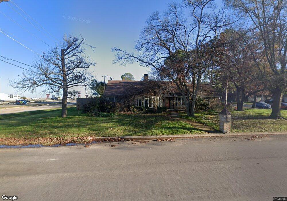
101 Pennsylvania Dr Denton, TX 76205
South Denton NeighborhoodEstimated Value: $410,125 - $504,000
4
Beds
3
Baths
2,800
Sq Ft
$166/Sq Ft
Est. Value
About This Home
This home is located at 101 Pennsylvania Dr, Denton, TX 76205 and is currently estimated at $463,531, approximately $165 per square foot. 101 Pennsylvania Dr is a home located in Denton County with nearby schools including Houston Elementary School, McMath Middle School, and Denton High School.
Ownership History
Date
Name
Owned For
Owner Type
Purchase Details
Closed on
Jun 7, 2024
Sold by
Cole Shana
Bought by
Cole-Gattie Trust and Cole
Current Estimated Value
Purchase Details
Closed on
Dec 10, 2012
Sold by
Smith S R and Smith Sherri
Bought by
Cole Shana L
Home Financials for this Owner
Home Financials are based on the most recent Mortgage that was taken out on this home.
Original Mortgage
$142,043
Interest Rate
3.3%
Mortgage Type
FHA
Create a Home Valuation Report for This Property
The Home Valuation Report is an in-depth analysis detailing your home's value as well as a comparison with similar homes in the area
Home Values in the Area
Average Home Value in this Area
Purchase History
| Date | Buyer | Sale Price | Title Company |
|---|---|---|---|
| Cole-Gattie Trust | -- | None Listed On Document | |
| Cole Shana L | -- | None Available |
Source: Public Records
Mortgage History
| Date | Status | Borrower | Loan Amount |
|---|---|---|---|
| Previous Owner | Cole Shana L | $142,043 |
Source: Public Records
Tax History Compared to Growth
Tax History
| Year | Tax Paid | Tax Assessment Tax Assessment Total Assessment is a certain percentage of the fair market value that is determined by local assessors to be the total taxable value of land and additions on the property. | Land | Improvement |
|---|---|---|---|---|
| 2025 | $5,612 | $337,978 | $122,485 | $215,493 |
| 2024 | $6,808 | $352,697 | $0 | $0 |
| 2023 | $4,925 | $320,634 | $122,485 | $236,941 |
| 2022 | $6,188 | $291,485 | $108,075 | $218,938 |
| 2021 | $5,891 | $264,986 | $72,050 | $192,936 |
| 2020 | $5,727 | $250,573 | $72,050 | $178,523 |
| 2019 | $6,095 | $255,435 | $72,050 | $183,385 |
| 2018 | $5,910 | $244,647 | $72,050 | $173,430 |
| 2017 | $5,497 | $222,406 | $72,050 | $159,053 |
| 2016 | $4,956 | $202,187 | $72,050 | $140,495 |
| 2015 | $3,915 | $183,806 | $72,050 | $126,814 |
| 2013 | -- | $172,204 | $74,117 | $98,087 |
Source: Public Records
Map
Nearby Homes
- 1412 Ridgecrest Cir
- 209 Pennsylvania Dr
- 2218 Southridge Dr
- 1541 Valley Creek Rd
- 1500 Sandy Creek Dr
- 924 Ridgecrest Cir
- 1536 Valley Creek Rd
- 408 Hollyhill Ln
- 412 Hollyhill Ln Unit 412
- 2012 Hollyhill Ln
- 2253 Hollyhill Ln
- 2272 Hollyhill Ln
- 1517 Valley Creek Rd
- 1512 Valley Creek Rd
- 1501 Valley Creek Rd
- 2544 Natchez Trace
- 1508 Kenwood St
- 2100 Fairfax Rd
- 1000 Lynhurst Ln
- 2120 Fairfax Rd
- 107 Lexington Ln
- 105 Pennsylvania Dr
- 108 Lexington Ln
- 111 Lexington Ln
- 109 Pennsylvania Dr
- 112 Lexington Ln
- 117 Lexington Ln
- 119 Pennsylvania Dr
- 1318 Ridgecrest Cir
- 1718 Stonegate Dr
- 1400 Ridgecrest Cir
- 1306 Ridgecrest Cir
- 1716 Stonegate Dr Unit 17
- 1720 Stonegate Dr Unit 17
- 1407 Ridgecrest Cir
- 1722 Stonegate Dr
- 1406 Ridgecrest Cir
- 125 Pennsylvania Dr
- 1726 Stonegate Dr Unit 17
- 505 Ridgecrest Cir