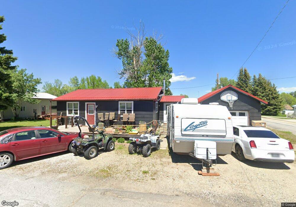
101 Pine St Roberts, MT 59070
Roberts NeighborhoodEstimated Value: $238,000 - $280,161
2
Beds
1
Bath
768
Sq Ft
$330/Sq Ft
Est. Value
About This Home
This home is located at 101 Pine St, Roberts, MT 59070 and is currently estimated at $253,290, approximately $329 per square foot. 101 Pine St is a home located in Carbon County with nearby schools including Roberts School.
Ownership History
Date
Name
Owned For
Owner Type
Purchase Details
Closed on
Apr 12, 2025
Sold by
Howard James E and Howard Tiffany
Bought by
Howard James E and Howard Tiffany
Current Estimated Value
Home Financials for this Owner
Home Financials are based on the most recent Mortgage that was taken out on this home.
Original Mortgage
$193,833
Outstanding Balance
$190,410
Interest Rate
5.8%
Estimated Equity
$62,880
Purchase Details
Closed on
Apr 16, 2018
Sold by
Etzok Inc
Bought by
Howard James E
Create a Home Valuation Report for This Property
The Home Valuation Report is an in-depth analysis detailing your home's value as well as a comparison with similar homes in the area
Home Values in the Area
Average Home Value in this Area
Purchase History
| Date | Buyer | Sale Price | Title Company |
|---|---|---|---|
| Howard James E | -- | -- | |
| Howard James E | $68,563 | Other |
Source: Public Records
Mortgage History
| Date | Status | Borrower | Loan Amount |
|---|---|---|---|
| Open | Howard James E | $193,833 |
Source: Public Records
Tax History
| Year | Tax Paid | Tax Assessment Tax Assessment Total Assessment is a certain percentage of the fair market value that is determined by local assessors to be the total taxable value of land and additions on the property. | Land | Improvement |
|---|---|---|---|---|
| 2025 | $2,004 | $247,200 | $0 | $0 |
| 2024 | $2,094 | $161,500 | $0 | $0 |
| 2023 | $1,318 | $161,500 | $0 | $0 |
| 2022 | $1,201 | $122,800 | $0 | $0 |
| 2021 | $840 | $122,800 | $0 | $0 |
| 2020 | $1,388 | $136,100 | $0 | $0 |
| 2019 | $1,422 | $136,100 | $0 | $0 |
| 2018 | $1,485 | $142,100 | $0 | $0 |
| 2017 | $1,048 | $142,100 | $0 | $0 |
| 2016 | $1,448 | $134,400 | $0 | $0 |
| 2015 | $902 | $134,400 | $0 | $0 |
| 2014 | $719 | $59,678 | $0 | $0 |
Source: Public Records
Map
Nearby Homes
- 101 S 2nd St
- Lot 4A, Blk 1 Larowe St
- Lot 3AM, Blk 1 Larowe St
- 123 Maki Johnson Rd
- 120 Cooney Rd
- 40 Acres Maki Johnson Rd
- 7 Internet Access
- 13 Wireless Way
- 166 Laptop Loop
- 5 Cursor Cir
- 27 Laptop Loop
- TBD Laptop Loop
- 50 Big Sky Ln
- 45 Buttercup Dr
- 38 Buttercup Dr
- 48 Buttercup Dr
- 00 Paintbrush Trail
- 20 Rosebud View
- NSN Lightning Ln
- 17 Horseshoe Trail
Your Personal Tour Guide
Ask me questions while you tour the home.