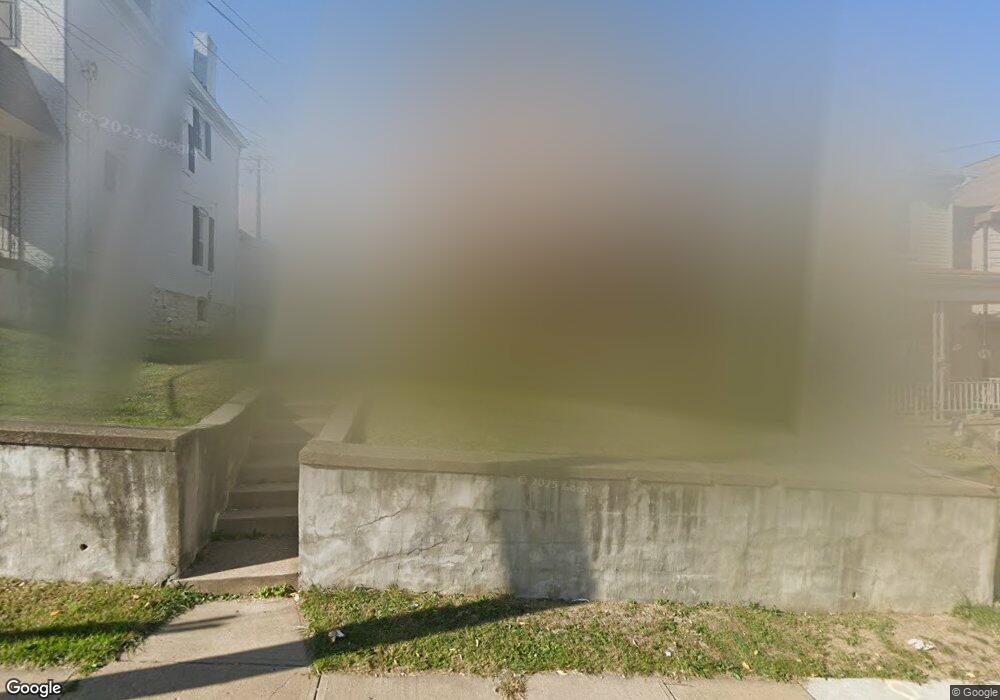
101 Poplargrove St Pittsburgh, PA 15210
Carrick NeighborhoodEstimated Value: $179,000 - $253,000
3
Beds
4
Baths
2,361
Sq Ft
$90/Sq Ft
Est. Value
About This Home
This home is located at 101 Poplargrove St, Pittsburgh, PA 15210 and is currently estimated at $213,203, approximately $90 per square foot. 101 Poplargrove St is a home located in Allegheny County with nearby schools including Pittsburgh Roosevelt K. - 5, Pittsburgh South Brook, and Pittsburgh Carrick High School.
Ownership History
Date
Name
Owned For
Owner Type
Purchase Details
Closed on
Nov 21, 2007
Sold by
Mullen Mary Lou
Bought by
Rhodes Tiponi T and Potts,Timothy B
Current Estimated Value
Home Financials for this Owner
Home Financials are based on the most recent Mortgage that was taken out on this home.
Original Mortgage
$93,100
Outstanding Balance
$58,875
Interest Rate
6.37%
Mortgage Type
FHA
Estimated Equity
$154,328
Purchase Details
Closed on
Jul 10, 2002
Sold by
Bubacz Robert D and Bubacz Mary M
Bought by
Bubacz Robert D and Bubacz Mary M
Create a Home Valuation Report for This Property
The Home Valuation Report is an in-depth analysis detailing your home's value as well as a comparison with similar homes in the area
Home Values in the Area
Average Home Value in this Area
Purchase History
| Date | Buyer | Sale Price | Title Company |
|---|---|---|---|
| Rhodes Tiponi T | $96,000 | -- | |
| Bubacz Robert D | -- | -- |
Source: Public Records
Mortgage History
| Date | Status | Borrower | Loan Amount |
|---|---|---|---|
| Open | Rhodes Tiponi T | $93,100 |
Source: Public Records
Tax History Compared to Growth
Tax History
| Year | Tax Paid | Tax Assessment Tax Assessment Total Assessment is a certain percentage of the fair market value that is determined by local assessors to be the total taxable value of land and additions on the property. | Land | Improvement |
|---|---|---|---|---|
| 2025 | $1,631 | $70,800 | $14,400 | $56,400 |
| 2024 | $1,631 | $70,800 | $14,400 | $56,400 |
| 2023 | $1,631 | $70,800 | $14,400 | $56,400 |
| 2022 | $1,610 | $70,800 | $14,400 | $56,400 |
| 2021 | $1,531 | $70,800 | $14,400 | $56,400 |
| 2020 | $1,602 | $70,800 | $14,400 | $56,400 |
| 2019 | $1,602 | $70,800 | $14,400 | $56,400 |
| 2018 | $1,192 | $70,800 | $14,400 | $56,400 |
| 2017 | $1,602 | $70,800 | $14,400 | $56,400 |
| 2016 | $335 | $70,800 | $14,400 | $56,400 |
| 2015 | $335 | $70,800 | $14,400 | $56,400 |
| 2014 | $1,567 | $70,800 | $14,400 | $56,400 |
Source: Public Records
Map
Nearby Homes
- 134 Poplargrove St
- 2000 Brownsville Rd
- 2020 Brownsville Rd
- 12 E Meyers St
- 228 Alries St
- 145 E Woodford Ave
- 1641 Mount Joseph St
- 254 Alries St
- 1611 Westmont Ave
- 244-246 E Meyers St
- 309 Parkfield St
- 1607 Fredell St
- 331 Redwood St
- 1401 Amanda St
- 119 Birmingham Ave Unit 117
- 119 Birmingham Ave
- 203 Birmingham Ave
- 373 Copperfield Ave
- 108 Linnview Ave
- 230 Linnview Ave
- 107 Poplargrove St
- 109 Poplargrove St
- 111 Poplargrove St
- 1819 Concordia St
- 115 Poplargrove St
- 106 Poplargrove St
- 104 Poplargrove St
- 1817 Concordia St
- 108 Poplargrove St
- 1907 Concordia St
- 110 Poplargrove St
- 119 Poplargrove St
- 114 Poplargrove St
- 1 Appian Way
- 116 Poplargrove St
- 121 Poplargrove St
- 118 Poplargrove St
- 120 Poplargrove St
- 1810 Concordia St
- 1917 Brownsville Rd