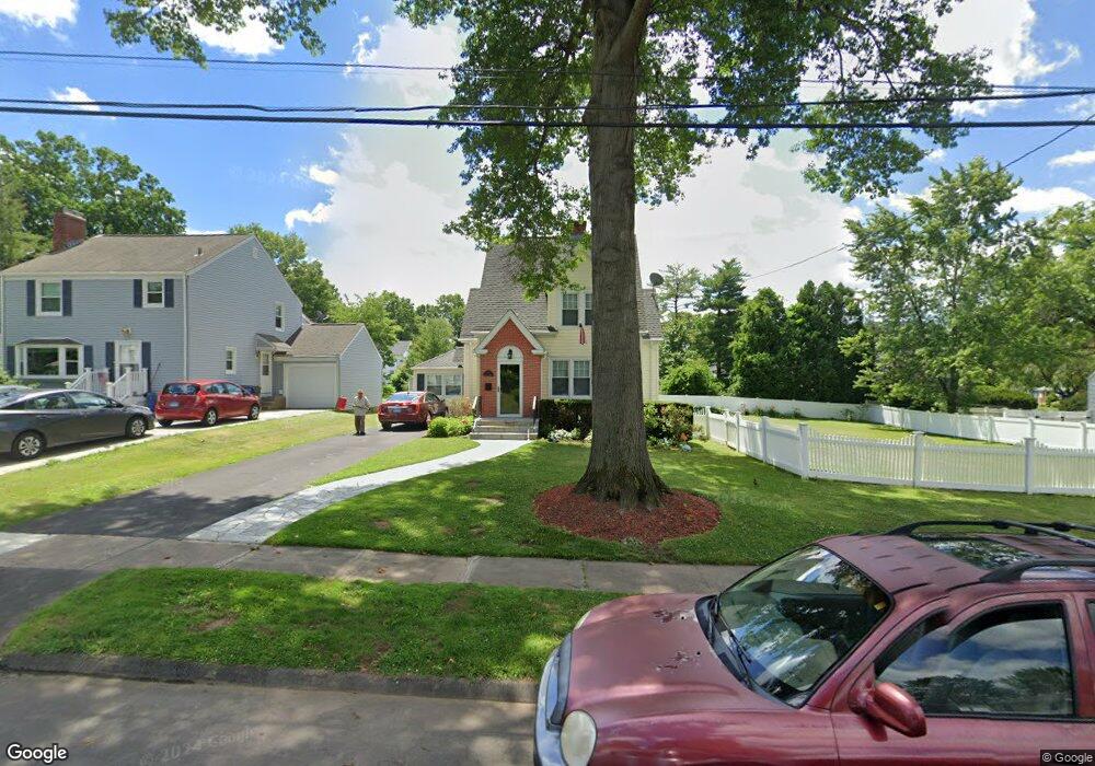
101 Robbins Dr Wethersfield, CT 06109
Estimated Value: $361,000 - $374,000
2
Beds
2
Baths
1,247
Sq Ft
$294/Sq Ft
Est. Value
About This Home
This home is located at 101 Robbins Dr, Wethersfield, CT 06109 and is currently estimated at $366,751, approximately $294 per square foot. 101 Robbins Dr is a home located in Hartford County with nearby schools including Charles Wright School, Silas Deane Middle School, and Wethersfield High School.
Ownership History
Date
Name
Owned For
Owner Type
Purchase Details
Closed on
Oct 21, 2004
Sold by
Roen Erik A and Roen Suzanne S
Bought by
Segobia Maria A and Segobia Manuel A
Current Estimated Value
Home Financials for this Owner
Home Financials are based on the most recent Mortgage that was taken out on this home.
Original Mortgage
$176,000
Interest Rate
5.85%
Purchase Details
Closed on
Mar 15, 2000
Sold by
Watson Elizabeth F
Bought by
Poem Erik A and Saadeh Suzane M
Purchase Details
Closed on
Feb 19, 1997
Sold by
Anderson Carl A and Anderson Kathryn S
Bought by
Watson Kirk Andrew and Foote Elizabeth C
Purchase Details
Closed on
May 1, 1987
Sold by
Gerarrde Patricia
Bought by
Anderson Kathryn S
Create a Home Valuation Report for This Property
The Home Valuation Report is an in-depth analysis detailing your home's value as well as a comparison with similar homes in the area
Home Values in the Area
Average Home Value in this Area
Purchase History
| Date | Buyer | Sale Price | Title Company |
|---|---|---|---|
| Segobia Maria A | $220,000 | -- | |
| Poem Erik A | $141,000 | -- | |
| Watson Kirk Andrew | $118,000 | -- | |
| Anderson Kathryn S | $153,000 | -- |
Source: Public Records
Mortgage History
| Date | Status | Borrower | Loan Amount |
|---|---|---|---|
| Open | Anderson Kathryn S | $198,748 | |
| Closed | Anderson Kathryn S | $199,735 | |
| Closed | Anderson Kathryn S | $176,000 |
Source: Public Records
Tax History
| Year | Tax Paid | Tax Assessment Tax Assessment Total Assessment is a certain percentage of the fair market value that is determined by local assessors to be the total taxable value of land and additions on the property. | Land | Improvement |
|---|---|---|---|---|
| 2025 | $9,415 | $228,420 | $93,800 | $134,620 |
| 2024 | $6,276 | $145,200 | $65,110 | $80,090 |
| 2023 | $6,066 | $145,200 | $65,110 | $80,090 |
| 2022 | $5,965 | $145,200 | $65,110 | $80,090 |
| 2021 | $5,905 | $145,200 | $65,110 | $80,090 |
| 2020 | $5,908 | $145,200 | $65,110 | $80,090 |
| 2019 | $5,915 | $145,200 | $65,110 | $80,090 |
| 2018 | $5,852 | $143,500 | $63,800 | $79,700 |
| 2017 | $5,707 | $143,500 | $63,800 | $79,700 |
| 2016 | $5,530 | $143,500 | $63,800 | $79,700 |
| 2015 | $5,480 | $143,500 | $63,800 | $79,700 |
| 2014 | $5,272 | $143,500 | $63,800 | $79,700 |
Source: Public Records
Map
Nearby Homes
- 192 Wolcott Hill Rd
- 55 Rutledge Rd
- 23 Hillcrest Ave
- 269 Pine Ln
- 144 Brown St
- 31 Somerset St
- 219-221 Jordan Ln
- 91 Somerset St
- 1 Bristol St
- 1 Fernwood St
- 1 Brussels Ave
- 19 Albert Ave
- 63 Wells Farm Dr
- 317-319 Garden St
- 43 Edward St
- 107 Harmund Place
- 295 Ridge Rd Unit 8
- 35 Stillwold Dr
- 158 Dix Rd
- 95 Garden St
Your Personal Tour Guide
Ask me questions while you tour the home.