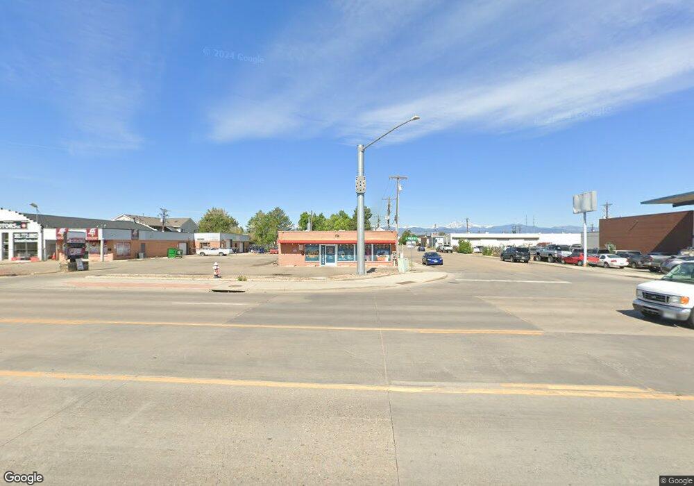
101 S Main St Longmont, CO 80501
Estimated Value: $1,846,035
--
Bed
--
Bath
2,204
Sq Ft
$838/Sq Ft
Est. Value
About This Home
This home is located at 101 S Main St, Longmont, CO 80501 and is currently estimated at $1,846,035, approximately $837 per square foot. 101 S Main St is a home located in Boulder County with nearby schools including Central Elementary School, Westview Middle School, and Longmont High School.
Ownership History
Date
Name
Owned For
Owner Type
Purchase Details
Closed on
Jul 28, 2016
Sold by
Tebo Stephen D
Bought by
City Of Longmont
Current Estimated Value
Purchase Details
Closed on
Mar 28, 2002
Sold by
The Green Spectrum Group
Bought by
Tebo Stephen D
Purchase Details
Closed on
Apr 7, 1998
Sold by
Korte Fred B and Korte Leoma P
Bought by
The Green Spectrum Group Ubto
Purchase Details
Closed on
Dec 15, 1997
Sold by
Korte Fred B and Korte Leoma P
Bought by
Korte 111 Llc
Create a Home Valuation Report for This Property
The Home Valuation Report is an in-depth analysis detailing your home's value as well as a comparison with similar homes in the area
Home Values in the Area
Average Home Value in this Area
Purchase History
| Date | Buyer | Sale Price | Title Company |
|---|---|---|---|
| City Of Longmont | -- | Heritage Title Co | |
| Tebo Stephen D | $695,000 | -- | |
| The Green Spectrum Group Ubto | -- | -- | |
| Korte Fred B | -- | -- | |
| Korte 111 Llc | -- | -- |
Source: Public Records
Tax History Compared to Growth
Tax History
| Year | Tax Paid | Tax Assessment Tax Assessment Total Assessment is a certain percentage of the fair market value that is determined by local assessors to be the total taxable value of land and additions on the property. | Land | Improvement |
|---|---|---|---|---|
| 2025 | $44,035 | $579,817 | $236,871 | $342,946 |
| 2024 | $44,035 | $579,817 | $236,871 | $342,946 |
| 2023 | $43,434 | $460,350 | $279,000 | $189,720 |
| 2022 | $27,225 | $275,123 | $194,300 | $80,823 |
| 2021 | $26,806 | $275,123 | $194,300 | $80,823 |
| 2020 | $26,762 | $275,500 | $194,300 | $81,200 |
| 2019 | $26,340 | $275,500 | $194,300 | $81,200 |
| 2018 | $24,792 | $261,002 | $115,058 | $145,944 |
| 2017 | $24,455 | $305,818 | $115,348 | $190,470 |
| 2016 | $22,251 | $232,784 | $105,495 | $127,289 |
| 2015 | $21,204 | $207,843 | $94,192 | $113,651 |
| 2014 | $19,413 | $207,843 | $94,192 | $113,651 |
Source: Public Records
Map
Nearby Homes
- 219 Terry St
- 201 Pratt St
- 240 Pratt St
- 818 S Terry St Unit 98
- 818 S Terry St Unit 85
- 831 4th Ave
- 1129 2nd Ave
- 348 Collyer St Unit 105
- 409 Terry St Unit D
- 409 Terry St Unit B
- 835 Kane Dr Unit E25
- 222 Bowen St
- 400 Emery St Unit 302
- 400 Emery St Unit 208
- 417 Emery St
- 309 Sheley Ct Unit 98
- 922 S Coffman St
- 421 Barnard Ct Unit 61
- 1301 Spruce Ave
- 832 S Bowen St
- 125 S Main St
- 695 Boston Ave
- 129 S Main St
- 131 S Main St
- 15 Prince St
- 35 Prince St
- 12 Royal St Unit 12
- 0 Colorado Ave
- 740 Boston Ave
- 136 S Main St
- 54 Mobile St
- 1 S Main St
- 617 1st Ave
- 705 1st Ave
- 199 S Main St
- 0 Hwy 287 Unit 1218980
- 0 Hwy 287 Unit 4064633
- 0 Hwy 287 Unit 716406
- 637 1st Ave
- 720 Fairlane Ave Unit 824