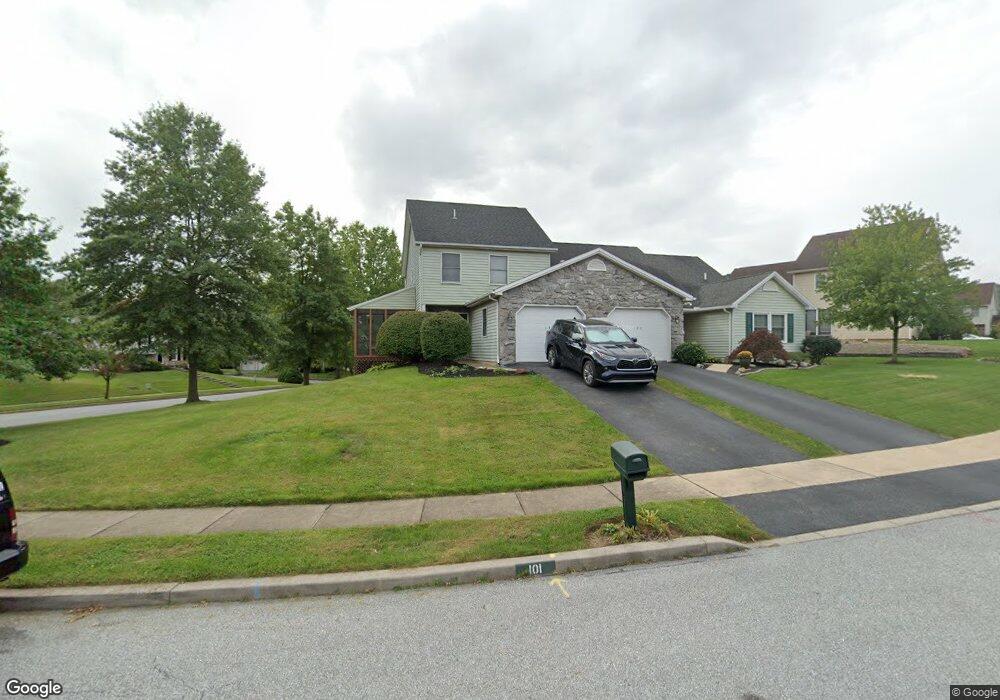
101 Sarah Ct Lewisberry, PA 17339
Estimated Value: $259,000 - $285,000
2
Beds
3
Baths
1,220
Sq Ft
$225/Sq Ft
Est. Value
About This Home
This home is located at 101 Sarah Ct, Lewisberry, PA 17339 and is currently estimated at $274,453, approximately $224 per square foot. 101 Sarah Ct is a home located in York County with nearby schools including Fishing Creek Elementary School, Crossroads Middle School, and Red Land Senior High School.
Ownership History
Date
Name
Owned For
Owner Type
Purchase Details
Closed on
Dec 21, 2001
Sold by
National City Mtg Company
Bought by
Hess Leisa Brooke
Current Estimated Value
Home Financials for this Owner
Home Financials are based on the most recent Mortgage that was taken out on this home.
Original Mortgage
$85,069
Interest Rate
6.72%
Purchase Details
Closed on
Aug 17, 2001
Sold by
Blodgett April L
Bought by
National City Mtg Company
Create a Home Valuation Report for This Property
The Home Valuation Report is an in-depth analysis detailing your home's value as well as a comparison with similar homes in the area
Home Values in the Area
Average Home Value in this Area
Purchase History
| Date | Buyer | Sale Price | Title Company |
|---|---|---|---|
| Hess Leisa Brooke | $87,700 | -- | |
| National City Mtg Company | $1,564 | -- |
Source: Public Records
Mortgage History
| Date | Status | Borrower | Loan Amount |
|---|---|---|---|
| Closed | Hess Leisa Brooke | $85,069 |
Source: Public Records
Tax History Compared to Growth
Tax History
| Year | Tax Paid | Tax Assessment Tax Assessment Total Assessment is a certain percentage of the fair market value that is determined by local assessors to be the total taxable value of land and additions on the property. | Land | Improvement |
|---|---|---|---|---|
| 2025 | $3,129 | $119,500 | $33,030 | $86,470 |
| 2024 | $2,963 | $119,500 | $33,030 | $86,470 |
| 2023 | $2,881 | $119,500 | $33,030 | $86,470 |
| 2022 | $2,872 | $119,500 | $33,030 | $86,470 |
| 2021 | $2,702 | $119,500 | $33,030 | $86,470 |
| 2020 | $2,670 | $119,500 | $33,030 | $86,470 |
| 2019 | $2,624 | $119,500 | $33,030 | $86,470 |
| 2018 | $2,572 | $119,500 | $33,030 | $86,470 |
| 2017 | $2,486 | $119,500 | $33,030 | $86,470 |
| 2016 | $0 | $119,500 | $33,030 | $86,470 |
| 2015 | -- | $119,500 | $33,030 | $86,470 |
| 2014 | -- | $119,500 | $33,030 | $86,470 |
Source: Public Records
Map
Nearby Homes
- 0 Catherine Ct
- 142 Scully Place
- 103 Scully Place
- 18 Kingswood Dr
- 100 Scully Place
- 12 Kingswood Dr
- 706 Pleasant View Rd
- 719 Pleasant View Rd
- 439 Shuler Rd
- 667 Old York Rd
- 20 Ramblewood Dr
- 633 Potts Hill Rd
- 1550 Robinhood Dr
- 633 Canvasbach Dr Unit 17B
- 604 Bluebill Dr Unit 22D
- 603 Bluebill Dr Unit 21B
- 85 Hilldale Rd
- 0 Potts Hill Rd - Lot 2 (D-2)
- 615 Beinhower Rd
- 614 Copper Cir