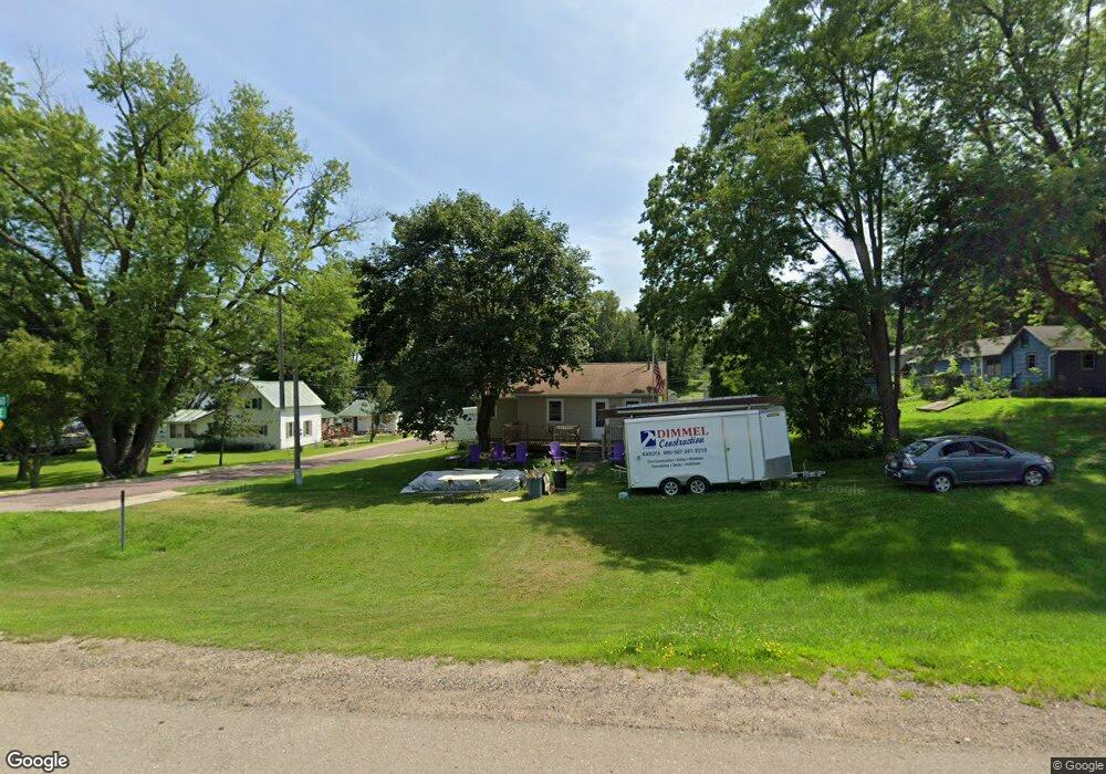
101 State Highway 60 E Elysian, MN 56028
Estimated Value: $174,000 - $208,000
2
Beds
1
Bath
1,249
Sq Ft
$150/Sq Ft
Est. Value
About This Home
This home is located at 101 State Highway 60 E, Elysian, MN 56028 and is currently estimated at $186,978, approximately $149 per square foot. 101 State Highway 60 E is a home located in Le Sueur County with nearby schools including Waterville Elementary School, Morristown Elementary School, and Waterville-Elysian-Morristown Junior High School.
Ownership History
Date
Name
Owned For
Owner Type
Purchase Details
Closed on
Jun 8, 2022
Sold by
Jr. George and Rezac Deborah
Bought by
Klehr Jonathan
Current Estimated Value
Home Financials for this Owner
Home Financials are based on the most recent Mortgage that was taken out on this home.
Original Mortgage
$128,250
Outstanding Balance
$121,848
Interest Rate
5.1%
Mortgage Type
New Conventional
Estimated Equity
$65,130
Create a Home Valuation Report for This Property
The Home Valuation Report is an in-depth analysis detailing your home's value as well as a comparison with similar homes in the area
Purchase History
| Date | Buyer | Sale Price | Title Company |
|---|---|---|---|
| Klehr Jonathan | $135,000 | -- |
Source: Public Records
Mortgage History
| Date | Status | Borrower | Loan Amount |
|---|---|---|---|
| Open | Klehr Jonathan | $128,250 |
Source: Public Records
Tax History
| Year | Tax Paid | Tax Assessment Tax Assessment Total Assessment is a certain percentage of the fair market value that is determined by local assessors to be the total taxable value of land and additions on the property. | Land | Improvement |
|---|---|---|---|---|
| 2025 | $1,640 | $152,600 | $34,600 | $118,000 |
| 2024 | $1,636 | $146,100 | $34,600 | $111,500 |
| 2023 | $1,644 | $142,400 | $34,600 | $107,800 |
| 2022 | $1,368 | $140,500 | $34,600 | $105,900 |
| 2021 | $1,244 | $107,800 | $29,600 | $78,200 |
| 2020 | $1,250 | $98,000 | $27,600 | $70,400 |
| 2019 | $1,294 | $70,600 | $19,883 | $50,717 |
| 2018 | $1,279 | $70,600 | $19,883 | $50,717 |
| 2017 | $945 | $57,600 | $17,126 | $40,474 |
| 2016 | $920 | $56,000 | $16,926 | $39,074 |
| 2015 | $905 | $54,500 | $16,749 | $37,751 |
| 2014 | $835 | $57,400 | $17,087 | $40,313 |
| 2013 | $790 | $51,500 | $16,357 | $35,143 |
Source: Public Records
Map
Nearby Homes
- -XX Jason Dr
- xx Lewis Ln
- xxxxxx Lewis Ln
- 0 Xx Lewis Ln Unit 7025397
- 0 Xx Lewis Ln Unit 7025381
- 4 Egret Ln
- 121 Willow Point Dr
- 49279 Sportsmans Ln
- 49189 Sportsmans Ln
- 48901 N Shore Rd
- 0 N Shore Rd
- 20232 Tetonka Lake Rd
- 921 Lillian St
- 459 Kanne Cartway
- 810 N Shore Dr
- 725 Northwood Dr
- 605 Northwood Place
- 325 River St
- E North St
- 114 Reed St S
- 101 State Highway 60 E
- 105 State Highway 60 E
- 205 SE 2nd St
- 400 Jason Dr
- 400 400 Jason Dr
- 200 Jason Dr
- 204 2nd St SE
- 203 E Highway 60
- 203 Minnesota 60
- 104 S 1st St
- 115 E Main St
- 117 E Main St
- 23136 Greenland Hills Ln
- 205 E Highway 60
- 205 State Hwy 60 E
- 109 E Main St Unit Bldg. B
- 109 E Main St
- 109 E Main St Unit Bldg. C
- 109 E Main St Unit C
- 109 E Main St Unit B
Your Personal Tour Guide
Ask me questions while you tour the home.