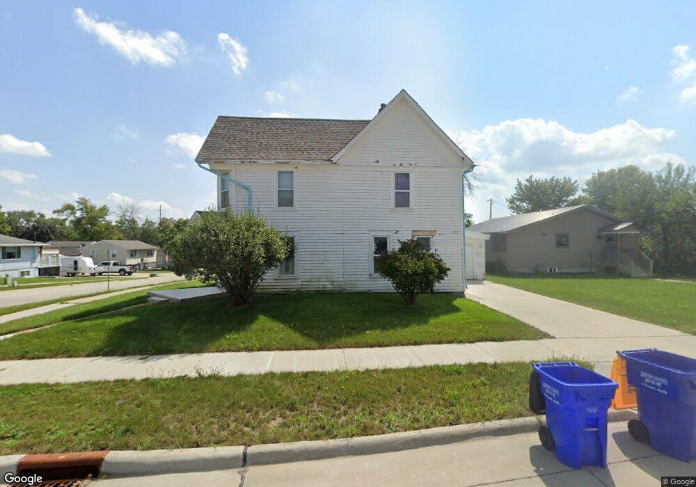
101 W 2nd St Tiffin, IA 52340
Estimated Value: $222,471 - $265,000
2
Beds
2
Baths
1,568
Sq Ft
$154/Sq Ft
Est. Value
About This Home
This home is located at 101 W 2nd St, Tiffin, IA 52340 and is currently estimated at $241,618, approximately $154 per square foot. 101 W 2nd St is a home located in Johnson County with nearby schools including Clear Creek Amana High School.
Ownership History
Date
Name
Owned For
Owner Type
Purchase Details
Closed on
Aug 26, 2008
Sold by
Irvin Kevin C and Irvin Donita M
Bought by
Detert Keith A and Detert Angela L
Current Estimated Value
Home Financials for this Owner
Home Financials are based on the most recent Mortgage that was taken out on this home.
Original Mortgage
$103,500
Outstanding Balance
$68,494
Interest Rate
6.5%
Mortgage Type
Purchase Money Mortgage
Estimated Equity
$173,124
Create a Home Valuation Report for This Property
The Home Valuation Report is an in-depth analysis detailing your home's value as well as a comparison with similar homes in the area
Home Values in the Area
Average Home Value in this Area
Purchase History
| Date | Buyer | Sale Price | Title Company |
|---|---|---|---|
| Detert Keith A | $115,000 | None Available |
Source: Public Records
Mortgage History
| Date | Status | Borrower | Loan Amount |
|---|---|---|---|
| Open | Detert Keith A | $103,500 |
Source: Public Records
Tax History Compared to Growth
Tax History
| Year | Tax Paid | Tax Assessment Tax Assessment Total Assessment is a certain percentage of the fair market value that is determined by local assessors to be the total taxable value of land and additions on the property. | Land | Improvement |
|---|---|---|---|---|
| 2025 | $3,084 | $188,400 | $41,200 | $147,200 |
| 2024 | $3,534 | $174,000 | $41,200 | $132,800 |
| 2023 | $3,532 | $174,000 | $41,200 | $132,800 |
| 2022 | $3,024 | $152,200 | $29,400 | $122,800 |
| 2021 | $3,038 | $152,200 | $29,400 | $122,800 |
| 2020 | $3,038 | $146,300 | $29,400 | $116,900 |
| 2019 | $2,922 | $146,300 | $29,400 | $116,900 |
| 2018 | $2,862 | $140,500 | $29,400 | $111,100 |
| 2017 | $2,808 | $140,500 | $29,400 | $111,100 |
| 2016 | $2,732 | $133,100 | $29,400 | $103,700 |
| 2015 | $2,732 | $133,100 | $29,400 | $103,700 |
| 2014 | $2,126 | $106,100 | $23,500 | $82,600 |
Source: Public Records
Map
Nearby Homes
- 623 E Goldfinch Dr
- 615 Maddie Ln
- 440 Roberts Ferry Rd
- 463 Potter St
- 604 Kimberlite St Unit 604
- 624 Kimberlite St
- 530 Iris Ave
- 534 Iris Ave
- 488 Thomas St
- 549 Bluestem St
- 526 Bluestem St
- 555 Bluestem St
- Sydney Plan at Prairie Village - Townhomes
- 548 Bluestem St
- 550 Bluestem St
- 552 Bluestem St
- 554 Bluestem St
- 556 Bluestem St
- 558 Bluestem St
- Emerson Twin Plan at Prairie Village - Twinhomes
- 111 W 2nd St
- 121 W 2nd St
- 115 E 2nd St
- 100 Railroad St
- 110 Railroad St
- 131 W 2nd St
- 106 Main St
- 120 Railroad St
- 141 W 2nd St
- 130 Railroad St
- 133 E 2nd St
- 221 Main St
- 200 Main St
- 100 Main St
- 39 ACRES Bailey's Crossing
- Lot 27 Deer View Estates
- Lot 24 Deer View Estates
- Lot 43 Deer View Estates
- Lot 36 Prairie Village Part 1
- Lot 30 Prairie Village Part 1