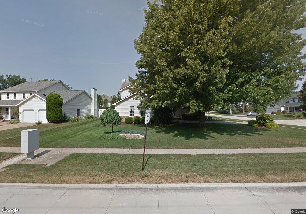
101 Westchester Dr Amherst, OH 44001
Estimated Value: $374,000 - $459,000
4
Beds
3
Baths
2,672
Sq Ft
$156/Sq Ft
Est. Value
About This Home
This home is located at 101 Westchester Dr, Amherst, OH 44001 and is currently estimated at $417,801, approximately $156 per square foot. 101 Westchester Dr is a home located in Lorain County with nearby schools including Powers Elementary School, Walter G. Nord Middle School, and Amherst Junior High School.
Ownership History
Date
Name
Owned For
Owner Type
Purchase Details
Closed on
Dec 22, 1999
Sold by
Green John W and Green Marilyn R
Bought by
Trent Daniel and Trent Mary
Current Estimated Value
Home Financials for this Owner
Home Financials are based on the most recent Mortgage that was taken out on this home.
Original Mortgage
$176,000
Outstanding Balance
$54,431
Interest Rate
7.7%
Estimated Equity
$363,370
Create a Home Valuation Report for This Property
The Home Valuation Report is an in-depth analysis detailing your home's value as well as a comparison with similar homes in the area
Home Values in the Area
Average Home Value in this Area
Purchase History
| Date | Buyer | Sale Price | Title Company |
|---|---|---|---|
| Trent Daniel | $220,000 | Guardian Title |
Source: Public Records
Mortgage History
| Date | Status | Borrower | Loan Amount |
|---|---|---|---|
| Open | Trent Daniel | $176,000 |
Source: Public Records
Tax History Compared to Growth
Tax History
| Year | Tax Paid | Tax Assessment Tax Assessment Total Assessment is a certain percentage of the fair market value that is determined by local assessors to be the total taxable value of land and additions on the property. | Land | Improvement |
|---|---|---|---|---|
| 2024 | $4,446 | $110,114 | $25,351 | $84,763 |
| 2023 | $4,210 | $87,875 | $24,623 | $63,252 |
| 2022 | $4,036 | $87,875 | $24,623 | $63,252 |
| 2021 | $4,046 | $87,875 | $24,623 | $63,252 |
| 2020 | $4,103 | $79,090 | $22,160 | $56,930 |
| 2019 | $4,021 | $79,090 | $22,160 | $56,930 |
| 2018 | $4,042 | $79,090 | $22,160 | $56,930 |
| 2017 | $3,870 | $71,080 | $13,430 | $57,650 |
| 2016 | $3,901 | $71,080 | $13,430 | $57,650 |
| 2015 | $3,879 | $71,080 | $13,430 | $57,650 |
| 2014 | $3,897 | $71,080 | $13,430 | $57,650 |
| 2013 | $3,910 | $71,080 | $13,430 | $57,650 |
Source: Public Records
Map
Nearby Homes
- 133 Ambleside Way
- 281 English Lakes Blvd Unit 67281
- 335 Copper Creek
- V/L Middle Ridge Rd
- 8030 Pyle South Amherst Rd
- 923 Longitude Ln
- 621 Van Oaks Dr
- 653 Brennan Dr
- 812 Bearing Ct
- 658 Nicole Dr
- 0 Middle Ridge Rd Unit 5102632
- 0 Middle Ridge Rd Unit 5160578
- 2176 Myla Way
- 2180 Myla Way
- 814 Valley Dr
- 748 Tarry Ln
- 891 Park Ave
- 0 Stonebridge Dr
- 311 Oak St Unit 311
- 292 Westwoods
- 103 Westchester Dr
- 202 Sleepy Hollow Dr
- 105 Westchester Dr
- 204 Sleepy Hollow Dr
- 199 Sleepy Hollow Dr
- 70 Fallen Oaks Ln
- 104 Kristen Ct
- 198 Sleepy Hollow Dr
- 197 Sleepy Hollow Dr
- 107 Westchester Dr
- 206 Sleepy Hollow Dr
- 72 Fallen Oaks Ln
- 109 Westchester Dr
- 112 Kristen Ct
- 106 Kristen Ct
- 193 Sleepy Hollow Dr
- 207 Sleepy Hollow Dr
- 74 Fallen Oaks Ln
- 114 Westchester Dr
- 209 Sleepy Hollow Dr