Estimated Value: $1,090,000 - $2,199,000
5
Beds
6
Baths
6,104
Sq Ft
$284/Sq Ft
Est. Value
About This Home
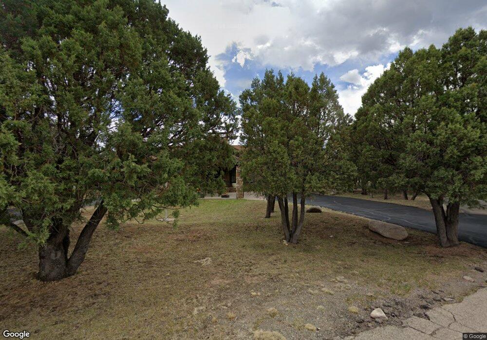
This home is located at 101 White Ct Unit 1, Alto, NM 88312 and is currently estimated at $1,731,207, approximately $283 per square foot. 101 White Ct Unit 1 is a home located in Lincoln County with nearby schools including Sierra Vista Primary School, White Mountain Elementary School, and Ruidoso Middle School.
Ownership History
Date
Name
Owned For
Owner Type
Purchase Details
Closed on
Apr 23, 2025
Sold by
Handlin Larry and Handlin Jane
Bought by
Mark & Dana Gibson Family Trust and Gibson
Current Estimated Value
Home Financials for this Owner
Home Financials are based on the most recent Mortgage that was taken out on this home.
Original Mortgage
$1,821,212
Outstanding Balance
$692,194
Interest Rate
6.5%
Mortgage Type
Construction
Estimated Equity
$1,039,013
Purchase Details
Closed on
Aug 5, 2009
Sold by
Anderson Thomas L and Anderson Dorothy D
Bought by
Hickman Development Corp
Create a Home Valuation Report for This Property
The Home Valuation Report is an in-depth analysis detailing your home's value as well as a comparison with similar homes in the area
Home Values in the Area
Average Home Value in this Area
Purchase History
| Date | Buyer | Sale Price | Title Company |
|---|---|---|---|
| Mark & Dana Gibson Family Trust | -- | None Listed On Document | |
| Mark & Dana Gibson Family Trust | -- | None Listed On Document | |
| Hickman Development Corp | -- | None Available |
Source: Public Records
Mortgage History
| Date | Status | Borrower | Loan Amount |
|---|---|---|---|
| Open | Mark & Dana Gibson Family Trust | $1,821,212 | |
| Closed | Mark & Dana Gibson Family Trust | $1,821,212 |
Source: Public Records
Tax History Compared to Growth
Tax History
| Year | Tax Paid | Tax Assessment Tax Assessment Total Assessment is a certain percentage of the fair market value that is determined by local assessors to be the total taxable value of land and additions on the property. | Land | Improvement |
|---|---|---|---|---|
| 2025 | $8,269 | $484,056 | $38,977 | $445,079 |
| 2024 | $8,269 | $484,056 | $38,977 | $445,079 |
| 2023 | $8,269 | $484,056 | $38,977 | $445,079 |
| 2022 | $5,503 | $359,458 | $38,977 | $320,481 |
| 2021 | $5,228 | $348,954 | $37,838 | $311,116 |
| 2020 | $5,803 | $338,790 | $36,736 | $302,054 |
| 2019 | $5,671 | $332,147 | $36,016 | $296,131 |
| 2018 | $5,486 | $322,474 | $34,968 | $287,506 |
| 2017 | $5,128 | $313,081 | $33,949 | $279,132 |
| 2015 | $5,312 | $313,112 | $33,952 | $279,160 |
| 2014 | $5,197 | $307,145 | $33,952 | $273,193 |
Source: Public Records
Map
Nearby Homes
- 100 White Ct
- 114 Mulligan Dr
- 115 Mulligan Dr
- 329 Lake Shore Dr
- 105 Bent Tree Ct
- 909 High Mesa Rd
- 108 Woodridge Ct
- 119 Buena Vista Dr
- 108 Turnberry Ln
- 360 Lake Shore Dr
- 356 Lake Shore Dr
- 141 Midiron Dr Unit A-5
- 111 Pinetop Ct
- 150 Midiron Dr
- 180 Crooked Stick Ln
- 176 Crooked Stick Ln
- 162 Midiron Dr
- 123 Moon Dance Ridge
- 283 Lake Shore Dr
- 196 Crown Ridge Rd
- 101 White Ct
- 108 White Ct Unit 1
- 108 White Ct
- 803 High Mesa Rd Unit 1
- 801 High Mesa Rd
- 805 High Mesa Rd Unit 1
- 805 High Mesa Dr Unit 1
- 806 High Mesa Rd Unit 1
- 806 High Mesa Rd Unit 1
- 806 High Mesa Rd
- 110 White Ct Unit 1
- 104 White Ct Unit 1
- 104 White Ct
- 102 White Ct
- 106 White Ct Unit 1
- 106 White Ct
- 114 White Ct Unit 1
- 114 White Ct Unit 9
- 807 High Mesa Rd Unit 2
- 807 High Mesa Dr Unit 1