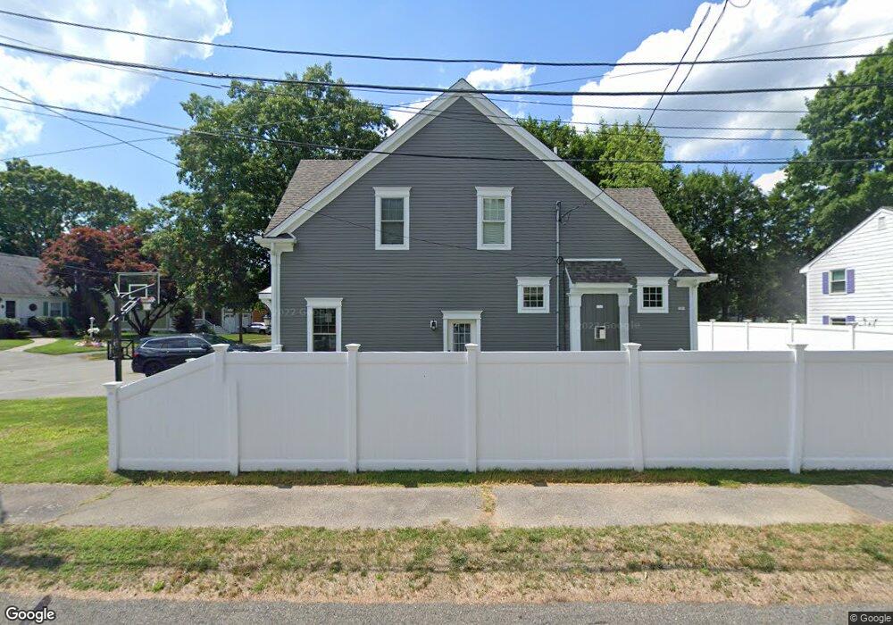
101 Whiting Way Needham, MA 02492
Estimated Value: $1,895,000 - $2,378,000
5
Beds
5
Baths
1,683
Sq Ft
$1,321/Sq Ft
Est. Value
About This Home
This home is located at 101 Whiting Way, Needham, MA 02492 and is currently estimated at $2,222,697, approximately $1,320 per square foot. 101 Whiting Way is a home located in Norfolk County with nearby schools including Newman Elementary School, High Rock Middle School, and Pollard Middle School.
Ownership History
Date
Name
Owned For
Owner Type
Purchase Details
Closed on
Sep 9, 2016
Sold by
Elite Home Builders Ll
Bought by
Fmk Realty Llc
Current Estimated Value
Purchase Details
Closed on
Aug 6, 2015
Sold by
Driscoll Kathleen M Es
Bought by
Elite Home Builders Llc
Purchase Details
Closed on
Jun 16, 2011
Sold by
Driscoll Gerard A and Driscoll Kathleen M
Bought by
Driscoll Kathleen M
Create a Home Valuation Report for This Property
The Home Valuation Report is an in-depth analysis detailing your home's value as well as a comparison with similar homes in the area
Home Values in the Area
Average Home Value in this Area
Purchase History
| Date | Buyer | Sale Price | Title Company |
|---|---|---|---|
| Fmk Realty Llc | $1,465,000 | -- | |
| Elite Home Builders Llc | $610,000 | -- | |
| Driscoll Kathleen M | -- | -- |
Source: Public Records
Tax History
| Year | Tax Paid | Tax Assessment Tax Assessment Total Assessment is a certain percentage of the fair market value that is determined by local assessors to be the total taxable value of land and additions on the property. | Land | Improvement |
|---|---|---|---|---|
| 2025 | $22,257 | $2,099,700 | $782,100 | $1,317,600 |
| 2024 | $23,382 | $1,867,600 | $564,300 | $1,303,300 |
| 2023 | $21,169 | $1,623,400 | $564,300 | $1,059,100 |
| 2022 | $20,126 | $1,505,300 | $503,900 | $1,001,400 |
| 2021 | $19,614 | $1,505,300 | $503,900 | $1,001,400 |
| 2020 | $18,048 | $1,445,000 | $504,200 | $940,800 |
| 2019 | $17,085 | $1,378,900 | $458,300 | $920,600 |
| 2018 | $16,381 | $1,378,900 | $458,300 | $920,600 |
| 2017 | $17,314 | $1,456,200 | $458,300 | $997,900 |
| 2016 | $6,923 | $599,900 | $458,300 | $141,600 |
| 2015 | $6,773 | $599,900 | $458,300 | $141,600 |
| 2014 | $6,234 | $535,600 | $398,500 | $137,100 |
Source: Public Records
Map
Nearby Homes
- 37 Standish Rd
- 333 Cartwright Rd
- 15 Jenna Cir
- 29 Tolman St
- 52 Hancock Rd
- 3 Hancock Rd
- 189 Bridle Trail Rd
- 37 Carleton Dr
- 11 Shirley Rd
- 222 Grove St
- 34 Pershing Rd
- 365 Charles River St
- 94 Rice St
- 24 Deerfield Rd
- 9 Hampden St
- 14 Twitchell St
- 1780 Central Ave
- 193 Garden St
- 100 Rosemary Way Unit 129
- 100 Rosemary Way Unit 324