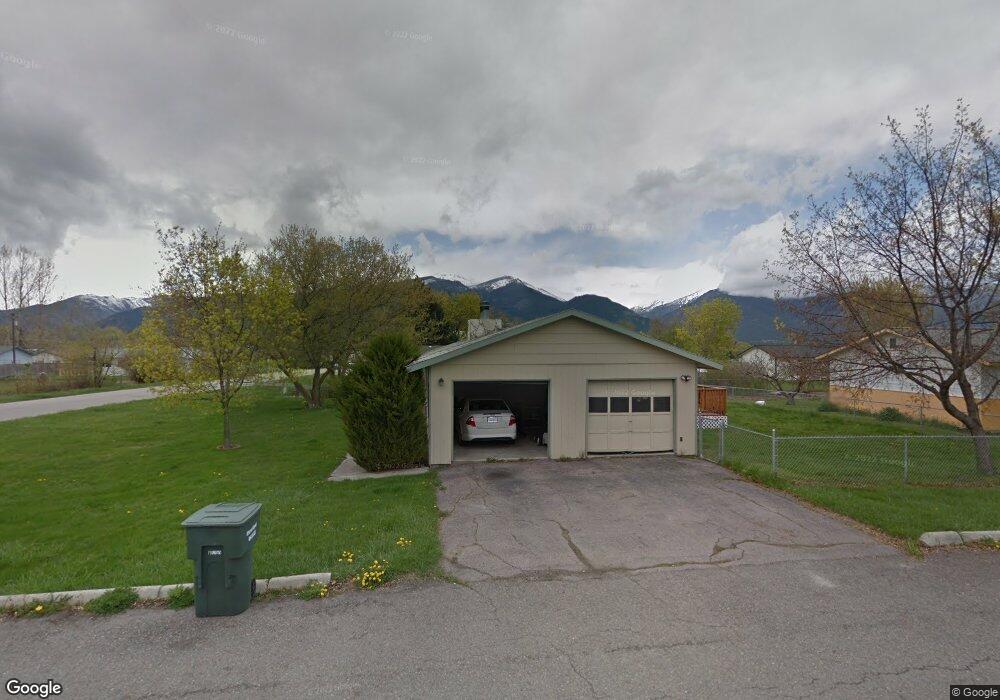
101 Winslett Ave Stevensville, MT 59870
Stevensville NeighborhoodEstimated Value: $418,044 - $449,000
3
Beds
1
Bath
1,092
Sq Ft
$398/Sq Ft
Est. Value
About This Home
This home is located at 101 Winslett Ave, Stevensville, MT 59870 and is currently estimated at $434,761, approximately $398 per square foot. 101 Winslett Ave is a home located in Ravalli County with nearby schools including Stevensville Elementary School, Stevensville Junior High School, and Stevensville High School.
Ownership History
Date
Name
Owned For
Owner Type
Purchase Details
Closed on
Jun 28, 2021
Sold by
James Solomon
Bought by
Helmer Nickolas B
Current Estimated Value
Home Financials for this Owner
Home Financials are based on the most recent Mortgage that was taken out on this home.
Original Mortgage
$332,859
Outstanding Balance
$302,018
Interest Rate
2.9%
Mortgage Type
Construction
Estimated Equity
$132,743
Purchase Details
Closed on
Oct 25, 2011
Sold by
Hud & Housing Of Urban Dev
Bought by
Solomon James
Create a Home Valuation Report for This Property
The Home Valuation Report is an in-depth analysis detailing your home's value as well as a comparison with similar homes in the area
Home Values in the Area
Average Home Value in this Area
Purchase History
| Date | Buyer | Sale Price | Title Company |
|---|---|---|---|
| Helmer Nickolas B | $336,187 | First American Title | |
| Solomon James | $46,406 | -- |
Source: Public Records
Mortgage History
| Date | Status | Borrower | Loan Amount |
|---|---|---|---|
| Open | Helmer Nickolas B | $332,859 | |
| Closed | Solomon James | $37,125 |
Source: Public Records
Tax History Compared to Growth
Tax History
| Year | Tax Paid | Tax Assessment Tax Assessment Total Assessment is a certain percentage of the fair market value that is determined by local assessors to be the total taxable value of land and additions on the property. | Land | Improvement |
|---|---|---|---|---|
| 2025 | $1,645 | $452,600 | $0 | $0 |
| 2024 | $2,180 | $358,300 | $0 | $0 |
| 2023 | $2,188 | $358,300 | $0 | $0 |
| 2022 | $1,808 | $235,400 | $0 | $0 |
| 2021 | $1,556 | $186,500 | $0 | $0 |
| 2020 | $1,297 | $149,498 | $0 | $0 |
| 2019 | $1,277 | $149,498 | $0 | $0 |
| 2018 | $1,053 | $127,000 | $0 | $0 |
| 2017 | $1,045 | $127,000 | $0 | $0 |
| 2016 | $1,083 | $131,200 | $0 | $0 |
| 2015 | $1,088 | $131,200 | $0 | $0 |
| 2014 | $1,096 | $79,023 | $0 | $0 |
Source: Public Records
Map
Nearby Homes
- 404 Pine St
- 301 Park Ave
- Lot 5 Bessie Ln
- 413 5th St
- 211 Buck St
- 308 8th St
- 623 Park St Unit 3
- 1100 College St
- 262 Barbara St
- 252 Barbara St
- 194 Kadex Place
- 211 Middle Burnt Fork Rd
- 3808 Eastside Hwy
- 3806 Eastside Hwy
- NHN Mystic River Rd
- 325 Valley View St
- 302 Syringa St
- 3602 Blacksmith Ln
- 101 Binks Way Unit 6
- 3707 Eastside Hwy